Login

Login oublié ?

Cookies have to be accepted!
Your browser's cookie functionality is disabled. Please enable this functionality.

Not a member yet?

Register now
Login

Available for registred users only

Log in to use this feature.

Login oublié ?

Cookies have to be accepted!
Your browser's cookie functionality is disabled. Please enable this functionality.

Not a member yet?

Register now
Filter
Catégories
Advanced filters
  • Longueur (km)
  • Altimètre
Enregistrer le filtre Reset filter

TrackRank

QRCode

Technical data

Longueur52,6 km Altimètre317 m Way down319 m Durée02:07 h:m Date25.09.2016
Evaluations Author Paysage Aspect amusement Condition Technique

Statistiques

227 Vues Evaluations 11 Téléchargements Moyenne
Rate
  • Feuille de tours
  • Arrivée
  • Téléchargements
Eine sportliche Rennrad-Tour. Gefahren wird gut die Hälfte auf gute Radwege und ruhige Nebenstraßen belohnt wird man mit wunderbare Panoramen ins Maintal und weit nach Oberfranken.
Gestartet wird in Zeil am Main in südliche Richtung. Über den Main nach Sand weiter nach Zell an den Weinbergen vorbei und hoch zum Steigerwald nach Unterschleichach. Im Aurachtal ist es ein welliges dahinradeln bis nach nach Trabelsdorf. Nach dem Ortsende den Berg hoch nach Tütschengereth und dann runter nach Troßdorf. Im Maintal den Radweg nach Zeil zurück.
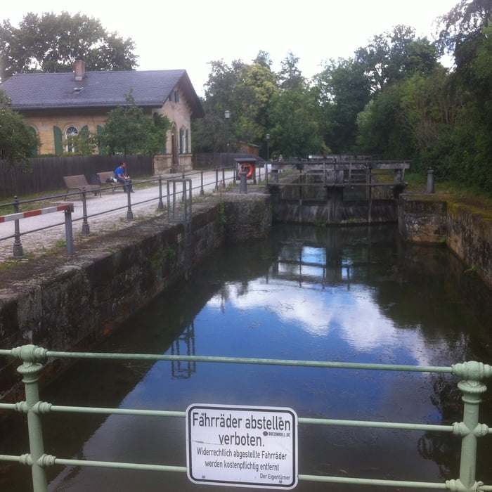
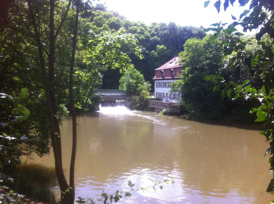
Galerie du tour

Carte du tour et altitude

  • Open Street Map
  • Google
Minimum height 221 m Maximum height 352 m Vue de détail

More about the tour author

Astro
Member since 2009

Send private message

Commentaires

Zeil am Main, zwischen Schweinfurt und Bamberg, mit dem Zug oder über die BAB gut zu erreichen

Tracks GPS

Trackpoints
  • GPX / Garmin Map Source (gpx) download
  • TCX / Garmin Training Center® (tcx) download
  • CRS / Garmin Training Center® (crs) download
  • Google Earth (kml) download
  • G7ToWin (g7t) download
  • TTQV (trk) download
  • Overlay (ovl) download
  • Fugawi (txt) download
  • Kompass (DAV) Track (tk) download
  • Feuille de tours (pdf) download
  • Original file of the author (gpx) download

More about the tour author

Astro
Member since 2009

Send private message
Share track
Add to my favorites
Remove from my favorites
Edit tags
My score
Rate
Tour: Von Zeil am Main in den Steigerwald Richtung Bamberg, Variante 2, und im Maintal zurück
Cat.: Vélo de course
Longueur: 52,6 km
Evaluated on:
Durée:
Day(s)
Hour(s)
Minute(s)
Evaluation: Paysage Aspect amusement Condition Technique