Login

Login oublié ?

Cookies have to be accepted!
Your browser's cookie functionality is disabled. Please enable this functionality.

Not a member yet?

Register now
Login

Available for registred users only

Log in to use this feature.

Login oublié ?

Cookies have to be accepted!
Your browser's cookie functionality is disabled. Please enable this functionality.

Not a member yet?

Register now
Filter
Catégories
Advanced filters
  • Longueur (km)
  • Altimètre
Enregistrer le filtre Reset filter

TrackRank

QRCode

Technical data

Longueur13,6 km Altimètre797 m Way down788 m Durée04:00 h:m Date15.12.2016
Evaluations Author Paysage Aspect amusement Condition Technique

Statistiques

221 Vues Evaluations 16 Téléchargements Moyenne
Rate
  • Feuille de tours
  • Arrivée
  • Téléchargements

Wegverlauf: Área Recreativa El Picacho - Aljibe - Picacho - Garganta de Puerto Oscuro - Área Recreativa
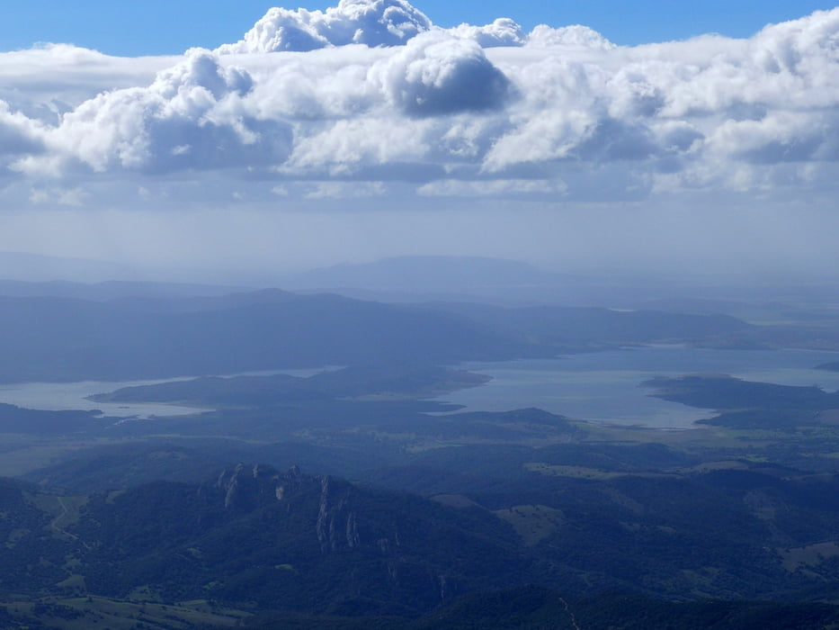
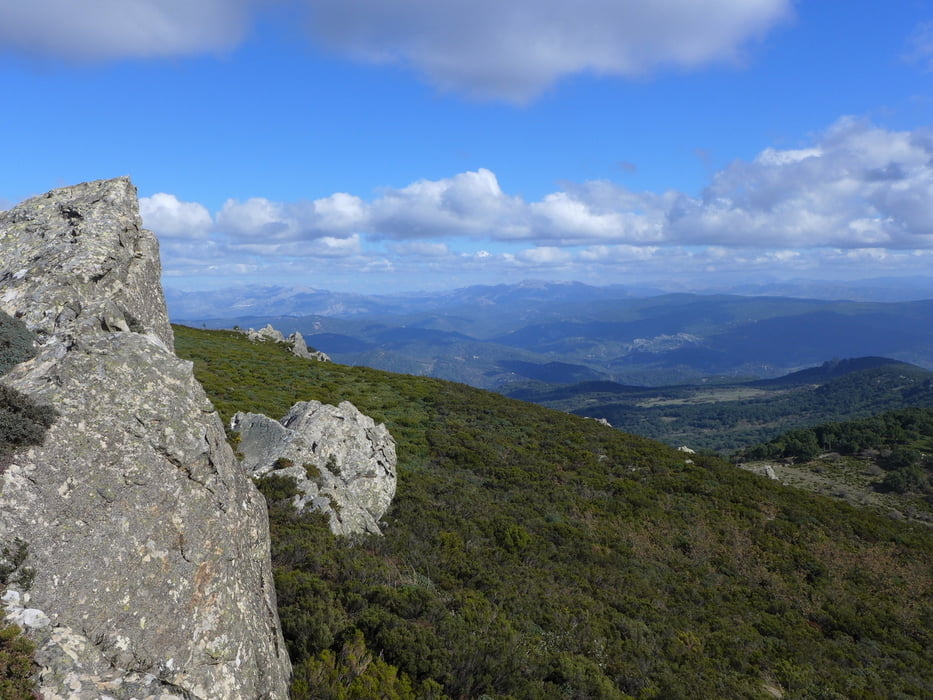
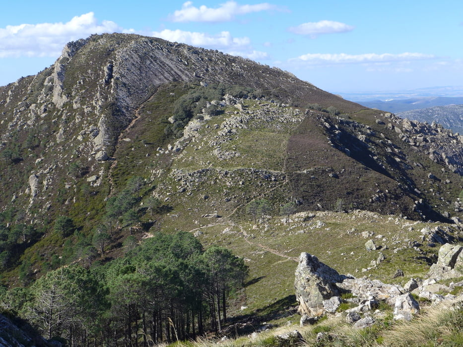
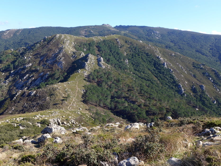
 

Galerie du tour

Carte du tour et altitude

  • Open Street Map
  • Google
Minimum height 378 m Maximum height 1084 m Vue de détail

More about the tour author

lothardomnik
Member since 2009

Send private message

Commentaires

Von Alcalá de los Gazules die Landstraße A-2304, Parkplatz kurz hinter dem Hotel "Aula de la Naturaleza El Picacho"

Tracks GPS

Trackpoints
  • GPX / Garmin Map Source (gpx) download
  • TCX / Garmin Training Center® (tcx) download
  • CRS / Garmin Training Center® (crs) download
  • Google Earth (kml) download
  • G7ToWin (g7t) download
  • TTQV (trk) download
  • Overlay (ovl) download
  • Fugawi (txt) download
  • Kompass (DAV) Track (tk) download
  • Feuille de tours (pdf) download
  • Original file of the author (gpx) download

More about the tour author

lothardomnik
Member since 2009

Send private message
Share track
Add to my favorites
Remove from my favorites
Edit tags
My score
Rate
Tour: Andalusien: Los Alcornocales 1
Cat.: Tour en montagne
Longueur: 13,6 km
Evaluated on:
Durée:
Day(s)
Hour(s)
Minute(s)
Evaluation: Paysage Aspect amusement Condition Technique