Login

Login oublié ?

Cookies have to be accepted!
Your browser's cookie functionality is disabled. Please enable this functionality.

Not a member yet?

Register now
Login

Available for registred users only

Log in to use this feature.

Login oublié ?

Cookies have to be accepted!
Your browser's cookie functionality is disabled. Please enable this functionality.

Not a member yet?

Register now
Filter
Catégories
Advanced filters
  • Longueur (km)
  • Altimètre
Enregistrer le filtre Reset filter

TrackRank

QRCode

Technical data

Longueur10,5 km Altimètre31 m Way down47 m Durée02:15 h:m Date08.01.2017
Evaluations Author Paysage Aspect amusement Condition Technique

Statistiques

280 Vues Evaluations 3 Téléchargements Moyenne
Rate
  • Feuille de tours
  • Arrivée
  • Téléchargements

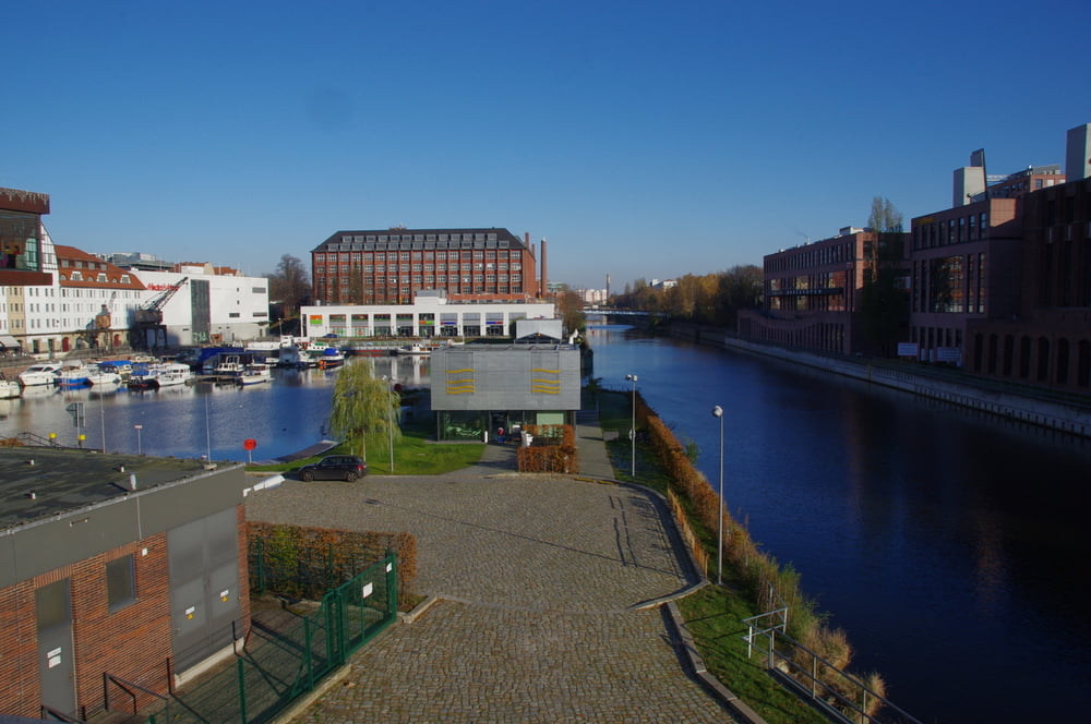
Wir wanderten zum Teltowkanal um an dessen nördlichen Ufer bis zum Tempelhofer Hafen am Kanal entlang zu wandern.

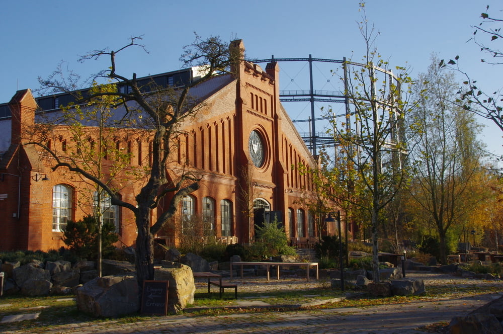
Auf der südlichen Seite bogen wir wieder nach Westen ein und besuchten das nun zugängliche Gelände mit den neu angesiedelten Firmen um das alte Gasometer und die Wassertürme.
Duch den alten Ortskern von Lankwitz suchten wir uns den Rückweg zum Ausagangspunkt.


Further information at

http://marienpark-berlin.com/de/

Galerie du tour

Carte du tour et altitude

  • Open Street Map
  • Google
Minimum height 26 m Maximum height 48 m Vue de détail

More about the tour author

Pheinz
Member since 2009

Send private message

Commentaires

Start und Ziel bei der Dreifaltigkeitskirche in Lankwitz.


Tracks GPS

Trackpoints
  • GPX / Garmin Map Source (gpx) download
  • TCX / Garmin Training Center® (tcx) download
  • CRS / Garmin Training Center® (crs) download
  • Google Earth (kml) download
  • G7ToWin (g7t) download
  • TTQV (trk) download
  • Overlay (ovl) download
  • Fugawi (txt) download
  • Kompass (DAV) Track (tk) download
  • Feuille de tours (pdf) download
  • Original file of the author (gpx) download

More about the tour author

Pheinz
Member since 2009

Send private message
Share track
Add to my favorites
Remove from my favorites
Edit tags
My score
Rate
Tour: Teltowkanal nach Tempelhof
Cat.: Randonnées
Longueur: 10,5 km
Evaluated on:
Durée:
Day(s)
Hour(s)
Minute(s)
Evaluation: Paysage Aspect amusement Condition Technique