


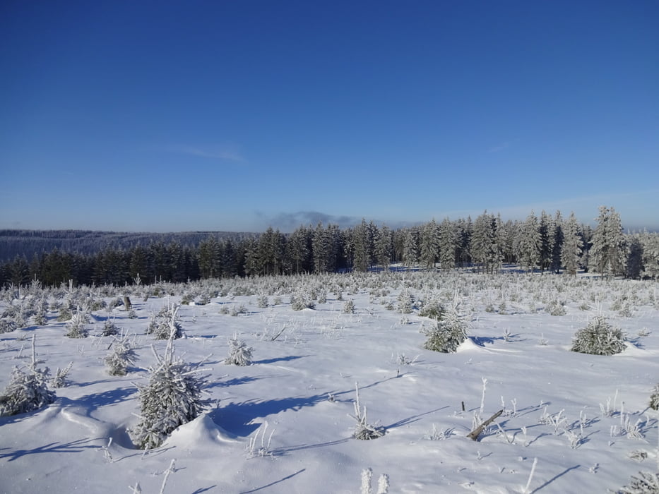
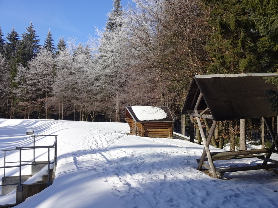
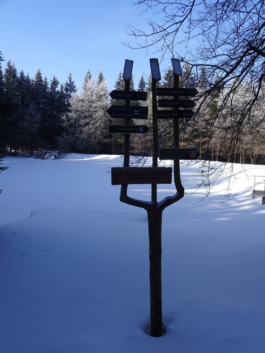
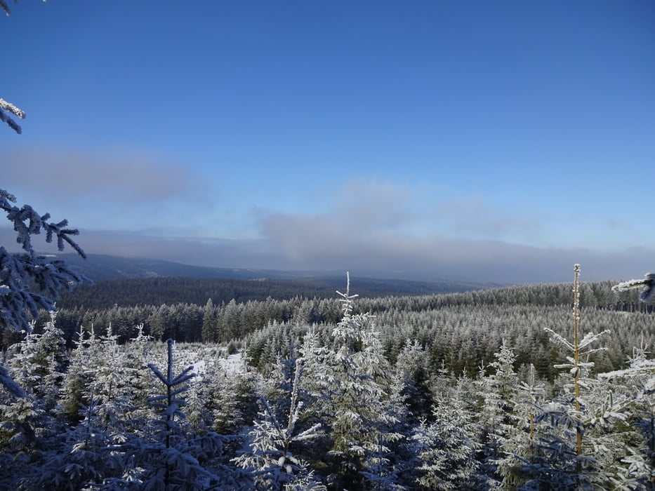
Runde zum schwarzen Teich am Fichtelberg
Start war für uns auf dem Gipfel bei der Schwebebahn. Parplatz direkt an der Bahn im Tal....
Landschaftlich toll!
Der Aufstieg könnte auch gut über die "Alte Rodelbahn" erfolgen!
Viel Spaß
Further information at
https://de.wikipedia.org/wiki/OberwiesenthalGalerie du tour
Carte du tour et altitude
Minimum height 878 m
Maximum height 1427 m
More about the tour author
|
|
FLU |
Commentaires

More about the tour author
|
|
FLU |
Add to my favorites
Remove from my favorites
Edit tags
Open track
My score
Rate