Login

Login oublié ?

Cookies have to be accepted!
Your browser's cookie functionality is disabled. Please enable this functionality.

Not a member yet?

Register now
Login

Available for registred users only

Log in to use this feature.

Login oublié ?

Cookies have to be accepted!
Your browser's cookie functionality is disabled. Please enable this functionality.

Not a member yet?

Register now
Filter
Catégories
Advanced filters
  • Longueur (km)
  • Altimètre
Enregistrer le filtre Reset filter

TrackRank

QRCode

Technical data

Longueur45,0 km Altimètre443 m Way down441 m Durée02:30 h:m Date20.05.2017
Evaluations Author Paysage Aspect amusement Condition Technique

Statistiques

158 Vues Evaluations 5 Téléchargements Moyenne
Rate
  • Feuille de tours
  • Arrivée
  • Téléchargements

Von Homburg Schwarzenbach fuhr ich durch das schöne Blies- und Taubental nach Kirkel-Neuhäusel.
Von Neuhäusel fuhr ich zur ehemaligen Bayereischen Grenze und von dort weiter nach Bayerisch Kohlhof, Limbach und zur Kirkeler Altstadt. Auf meinem weitereren Weg pssierte ich ein Spargel- und ein Erdbeerfeld bevor ich das Berliner Viertel am nördlichen Stadtrand von Homburg nach Bruchhof durchquerte.
Von Bruchhof fuhr ich auf einem Wanderweg und der L223 nach Bechhofen und anschließend durch das Lambsbachtal nach Kirrberg.
Kurz vor der Emilienruhe bog ich zum Mufflongehege ab und erreichte dann Schwarzenbach am nördlichen Ortsrand.

Eine nette Runde.


Further information at

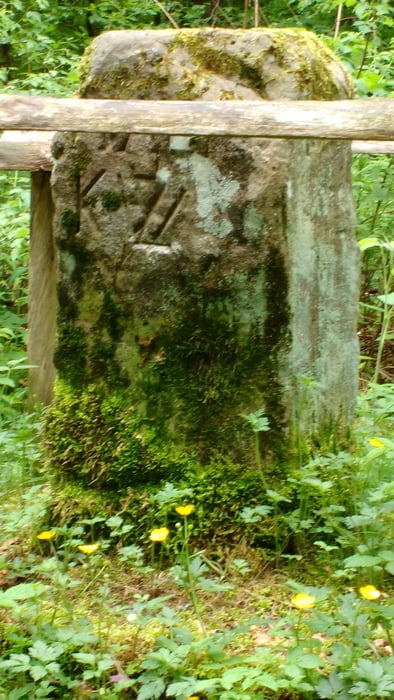
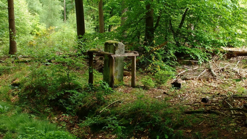
https://de.wikipedia.org/wiki/Sickinger_H%C3%B6he

Galerie du tour

Carte du tour et altitude

  • Open Street Map
  • Google
Minimum height 228 m Maximum height 355 m Vue de détail

More about the tour author

Pheinz
Member since 2009

Send private message

Commentaires

Start und Ziel in Homburg Schwarzenbach.


Tracks GPS

Trackpoints
  • GPX / Garmin Map Source (gpx) download
  • TCX / Garmin Training Center® (tcx) download
  • CRS / Garmin Training Center® (crs) download
  • Google Earth (kml) download
  • G7ToWin (g7t) download
  • TTQV (trk) download
  • Overlay (ovl) download
  • Fugawi (txt) download
  • Kompass (DAV) Track (tk) download
  • Feuille de tours (pdf) download
  • Original file of the author (gpx) download

More about the tour author

Pheinz
Member since 2009

Send private message
Share track
Add to my favorites
Remove from my favorites
Edit tags
My score
Rate
Tour: 170520-Kirkel Bechhofen
Cat.: Touring vélo
Longueur: 45,0 km
Evaluated on:
Durée:
Day(s)
Hour(s)
Minute(s)
Evaluation: Paysage Aspect amusement Condition Technique