Login

Login oublié ?

Cookies have to be accepted!
Your browser's cookie functionality is disabled. Please enable this functionality.

Not a member yet?

Register now
Login

Available for registred users only

Log in to use this feature.

Login oublié ?

Cookies have to be accepted!
Your browser's cookie functionality is disabled. Please enable this functionality.

Not a member yet?

Register now
Filter
Catégories
Advanced filters
  • Longueur (km)
  • Altimètre
Enregistrer le filtre Reset filter

TrackRank

QRCode

Technical data

Longueur26,7 km Altimètre2510 m Way down2566 m Durée06:00 h:m Date11.06.2017
Evaluations Author Paysage Aspect amusement Condition Technique

Statistiques

446 Vues Evaluations 2 Téléchargements Moyenne
Rate
  • Feuille de tours
  • Arrivée
  • Téléchargements

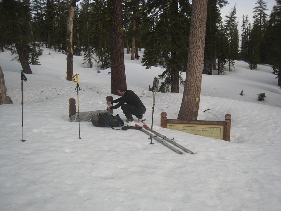
Zunächst auf der Straße, dann einige Kehren abkürzend zum Brewer Creek Trailhead. Von dort weiter durch den lichten Wald aufsteigen. Einer kleinen Moräne folgend weiter hinauf bis es steil wird. Nun mit Harscheisen zunächst links haltend empor (bis ca. 35°) zum Gipfelgrat und weiter zum Gipfel.

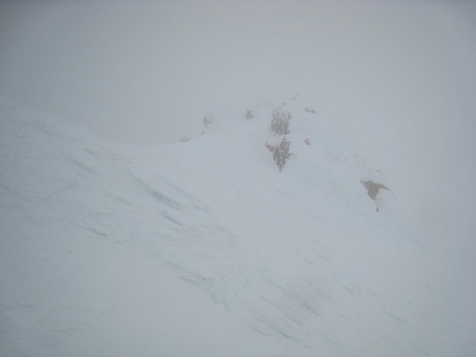
Wegen dichtem Nebel nicht sicher ob der Hauptgipfel erreicht wurde. Ebenso dürfte bei guter Sicht acuh eine noch direktere Auf- und Abstiegsvariante mögliuch sein. Abfahrt wie Aufstieg, im unteren Teil direkt zum Parkplatz.

Solange die Straße nicht bis zum Brewer Creek trailhead geräumt ist  wird die Tour wegen der Länge auch als Zweitagestour mit Camp irgendwo zwischen Brewer Creek Trailhead und der Waldgrenze gemacht.

Achtung, lasst Euch von den Zeitangaben nicht täuschen. Die Route ist länger und anspruchsvoller als der Avalanche Gulch (aber auch wesentlich abwechslungreicher und lohnender). Wir waren hier nur flott unterwegs, am Avalanche Gulch wesentlich langsamer.

Tourdatum: 5.5.2016

Galerie du tour

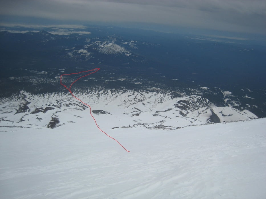
Carte du tour et altitude

  • Open Street Map
  • Google
Minimum height 1737 m Maximum height 4313 m Vue de détail

More about the tour author

Gi
Member since 2010

Send private message

Commentaires

Von Mc Cloud zunächst nach Osten, dann links auf die Pilgrim Creek Rd, später die Military Pass Road abzweigen. Die Straße zum Brewer Creek trailhead war bei uns nicht geräumt wegen Schnee unpassierbar.


Tracks GPS

Trackpoints
  • GPX / Garmin Map Source (gpx) download
  • TCX / Garmin Training Center® (tcx) download
  • CRS / Garmin Training Center® (crs) download
  • Google Earth (kml) download
  • G7ToWin (g7t) download
  • TTQV (trk) download
  • Overlay (ovl) download
  • Fugawi (txt) download
  • Kompass (DAV) Track (tk) download
  • Feuille de tours (pdf) download
  • Original file of the author (gpx) download

More about the tour author

Gi
Member since 2010

Send private message
Share track
Add to my favorites
Remove from my favorites
Edit tags
My score
Rate
Tour: Mt. Shasta by Hotlum Wintun
Cat.: Sightseeing
Longueur: 26,7 km
Evaluated on:
Durée:
Day(s)
Hour(s)
Minute(s)
Evaluation: Paysage Aspect amusement Condition Technique