Login

Login oublié ?

Cookies have to be accepted!
Your browser's cookie functionality is disabled. Please enable this functionality.

Not a member yet?

Register now
Login

Available for registred users only

Log in to use this feature.

Login oublié ?

Cookies have to be accepted!
Your browser's cookie functionality is disabled. Please enable this functionality.

Not a member yet?

Register now
Filter
Catégories
Advanced filters
  • Longueur (km)
  • Altimètre
Enregistrer le filtre Reset filter

TrackRank

QRCode

Technical data

Longueur7,0 km Altimètre115 m Way down116 m Durée02:00 h:m Date16.05.2018
Evaluations Author Paysage Aspect amusement Condition Technique

Statistiques

404 Vues Evaluations 25 Téléchargements Moyenne
Rate
  • Feuille de tours
  • Arrivée
  • Téléchargements
 

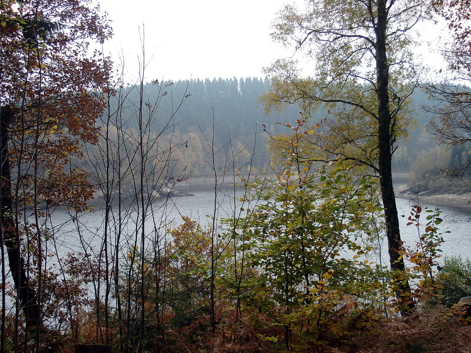
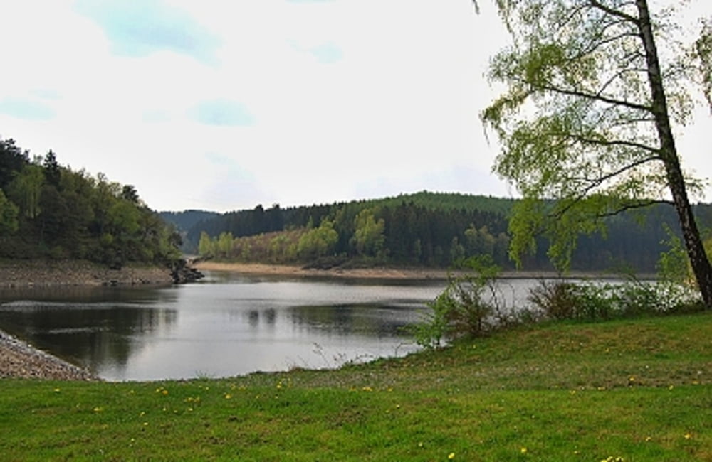
Ein schöner Wanderweg rund um die Kalltalsperre. Der Weg ist ein breiter Forstweg, entlang der Strecke stehen einige wenige Informationstafeln zur Kalltalsperre und zur Trinkwasserversorgung.
Da der Stausee ein Trinkwasserstausee ist, ist ein Betreten des Ufers nicht möglich. Auch bei Winterwetter eine wunderschöne Landschaft. Die Umrundung des Stausees ist  etwa 5 km lang.

Further information at

http://der-eifelyeti.de/2018/05/16/um-die-kalltalsperre/

Galerie du tour

Carte du tour et altitude

  • Open Street Map
  • Google
Minimum height 411 m Maximum height 478 m Vue de détail

More about the tour author

Eifelyeti
Member since 2008

Send private message

Commentaires

Tracks GPS

Trackpoints
  • GPX / Garmin Map Source (gpx) download
  • TCX / Garmin Training Center® (tcx) download
  • CRS / Garmin Training Center® (crs) download
  • Google Earth (kml) download
  • G7ToWin (g7t) download
  • TTQV (trk) download
  • Overlay (ovl) download
  • Fugawi (txt) download
  • Kompass (DAV) Track (tk) download
  • Feuille de tours (pdf) download
  • Original file of the author (gpx) download

More about the tour author

Eifelyeti
Member since 2008

Send private message
Share track
Add to my favorites
Remove from my favorites
Edit tags
My score
Rate
Tour: Um die Kalltalsperre
Cat.: Randonnées
Longueur: 7,0 km
Evaluated on:
Durée:
Day(s)
Hour(s)
Minute(s)
Evaluation: Paysage Aspect amusement Condition Technique