


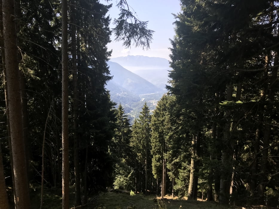
Gleich nach Brusago ging es 500 Höhenmeter hinauf auf den Passo Redebus in eine deutschsprachige Insel mitten im Trentino. Von dort zu einer Alm auf ca. 1700 Meter.
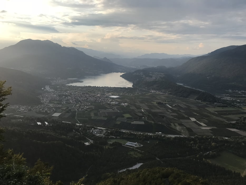
Ab hier zwischen weidenden Kühe bergab teilweise in technisch schwierigen Trail über St. Orsola und Pergine an den Lagi di Caldonazzo unserem Ziel unseres AlpnX.
Galerie du tour
Carte du tour et altitude
Minimum height 456 m
Maximum height 1705 m
More about the tour author

|
dottore66 |
Commentaires

More about the tour author
|
|
dottore66 |
Add to my favorites
Remove from my favorites
Edit tags
Open track
My score
Rate