Login

Login oublié ?

Cookies have to be accepted!
Your browser's cookie functionality is disabled. Please enable this functionality.

Not a member yet?

Register now
Login

Available for registred users only

Log in to use this feature.

Login oublié ?

Cookies have to be accepted!
Your browser's cookie functionality is disabled. Please enable this functionality.

Not a member yet?

Register now
Filter
Catégories
Advanced filters
  • Longueur (km)
  • Altimètre
Enregistrer le filtre Reset filter

TrackRank

QRCode

Technical data

Longueur14,4 km Altimètre0 m Way down0 m Durée05:00 h:m Date13.04.2018
Evaluations Author Paysage Aspect amusement Condition Technique

Statistiques

242 Vues Evaluations 13 Téléchargements Moyenne
Rate
  • Feuille de tours
  • Arrivée
  • Téléchargements

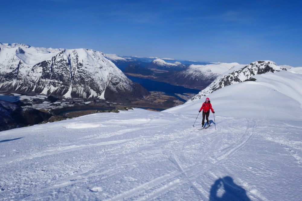
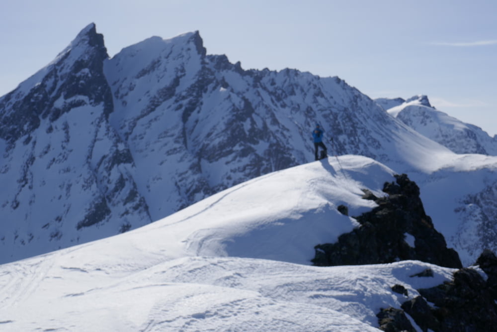
Für besten Firn zuerst ostseitig auf den Blanebba, danach westseitig auf den Horungen.

Der erste vAufstieg und die zweite Abfahrt wurden nachgezeichnet, da die GPS-Aufzeichnung ausgefallen war
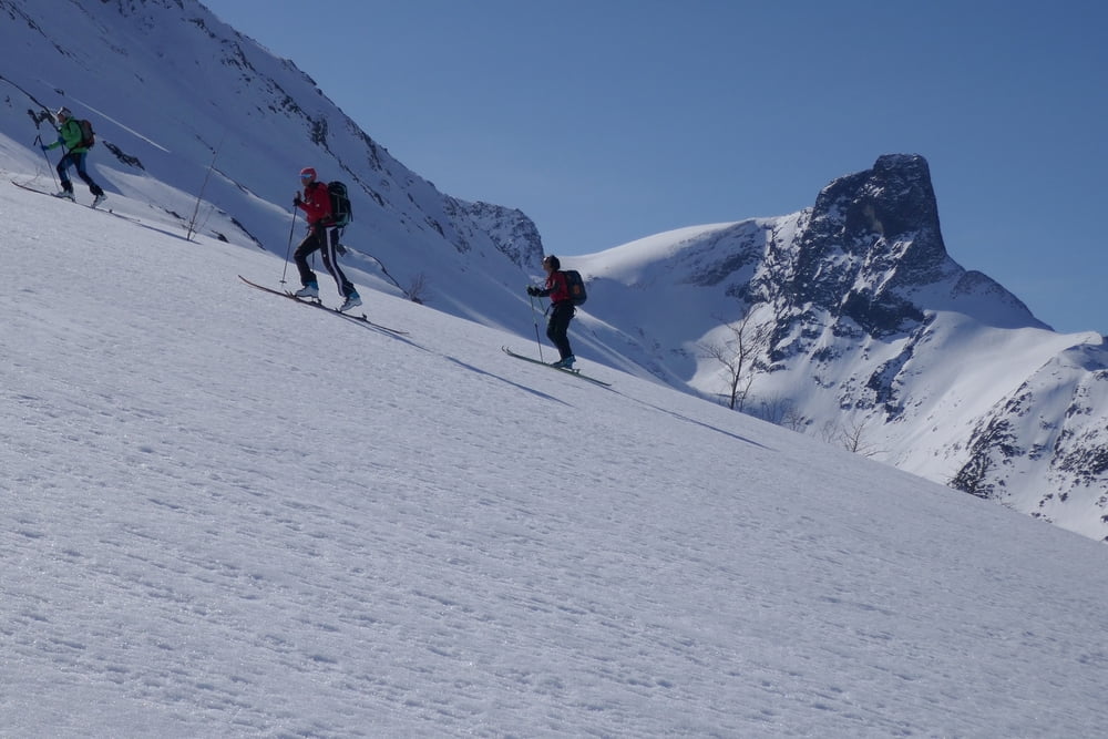
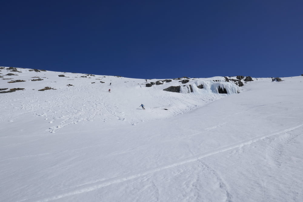
Galerie du tour

Carte du tour et altitude

  • Open Street Map
  • Google
Minimum height 99999 m Maximum height -99999 m Vue de détail

More about the tour author

Gi
Member since 2010

Send private message

Commentaires

Von Isfjorden die Mautstraße(automat) bis zum Parkplatz am Ende der Räumung

Tracks GPS

Trackpoints
  • GPX / Garmin Map Source (gpx) download
  • TCX / Garmin Training Center® (tcx) download
  • CRS / Garmin Training Center® (crs) download
  • Google Earth (kml) download
  • G7ToWin (g7t) download
  • TTQV (trk) download
  • Overlay (ovl) download
  • Fugawi (txt) download
  • Kompass (DAV) Track (tk) download
  • Feuille de tours (pdf) download
  • Original file of the author (gpx) download

More about the tour author

Gi
Member since 2010

Send private message
Share track
Add to my favorites
Remove from my favorites
Edit tags
My score
Rate
Tour: Blanebba und Horrungen
Cat.: Ski touring
Longueur: 14,4 km
Evaluated on:
Durée:
Day(s)
Hour(s)
Minute(s)
Evaluation: Paysage Aspect amusement Condition Technique