Login

Login oublié ?

Cookies have to be accepted!
Your browser's cookie functionality is disabled. Please enable this functionality.

Not a member yet?

Register now
Login

Available for registred users only

Log in to use this feature.

Login oublié ?

Cookies have to be accepted!
Your browser's cookie functionality is disabled. Please enable this functionality.

Not a member yet?

Register now
Filter
Catégories
Advanced filters
  • Longueur (km)
  • Altimètre
Enregistrer le filtre Reset filter

TrackRank

QRCode

Technical data

Longueur45,0 km Altimètre1169 m Way down1265 m Durée05:40 h:m Date10.06.2019
Evaluations Author User Paysage Aspect amusement Condition Technique

Statistiques

310 Vues 1 Evaluation 145 Téléchargements 5.00 Moyenne
Rate
  • Feuille de tours
  • Arrivée
  • Téléchargements

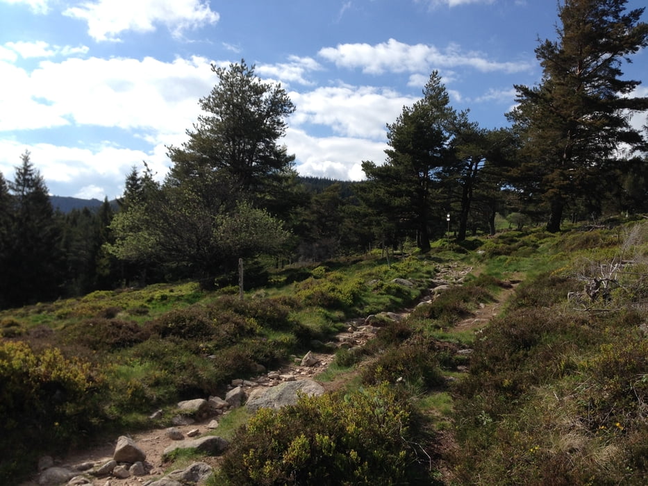
Diese Tour führt zum Lac Vert und Lac du Forlet.

Der Aufstieg erfolgt fern ab der Straße zum Col de la Schlucht, auf dankbar fahrbaren Waldwegen, so dass es bei dieser Tour beim Aufstieg nicht so viel Lärm durch Motorradfahrer gibt. 

Selbstverständlich erwartet Euch nach der Plackerei die tolle Trailsabfahrt nach Turckheim.


Galerie du tour

Carte du tour et altitude

  • Open Street Map
  • Google
Minimum height 234 m Maximum height 1165 m Vue de détail

More about the tour author

Flitz
Member since 2009

Send private message

Commentaires

Gewau on 23.07.2020

Tolle Tour

Danke an den "Einsteller". Wir sind die Tour heute gefahren, eine wahre Freude - nicht zu stressiger Aufstieg und danach sehr schöne Trails, durchaus auch mit einigen Schwierigkeitsgraden!
Gerne nochmal!

Startpunkt: Münster

Endpunkt: Turckheim

Tracks GPS

Trackpoints
  • GPX / Garmin Map Source (gpx) download
  • TCX / Garmin Training Center® (tcx) download
  • CRS / Garmin Training Center® (crs) download
  • Google Earth (kml) download
  • G7ToWin (g7t) download
  • TTQV (trk) download
  • Overlay (ovl) download
  • Fugawi (txt) download
  • Kompass (DAV) Track (tk) download
  • Feuille de tours (pdf) download
  • Original file of the author (gpx) download

More about the tour author

Flitz
Member since 2009

Send private message
Share track
Add to my favorites
Remove from my favorites
Edit tags
My score
Rate
Tour: Vogesen: Trails wie Speck
Cat.: Mountainbike
Longueur: 45,0 km
Evaluated on:
Durée:
Day(s)
Hour(s)
Minute(s)
Evaluation: Paysage Aspect amusement Condition Technique