Login

Login oublié ?

Cookies have to be accepted!
Your browser's cookie functionality is disabled. Please enable this functionality.

Not a member yet?

Register now
Login

Available for registred users only

Log in to use this feature.

Login oublié ?

Cookies have to be accepted!
Your browser's cookie functionality is disabled. Please enable this functionality.

Not a member yet?

Register now
Filter
Catégories
Advanced filters
  • Longueur (km)
  • Altimètre
Enregistrer le filtre Reset filter

TrackRank

QRCode

Technical data

Longueur22,0 km Altimètre175 m Way down506 m Durée00:00 h:m Date09.08.2019
Evaluations Author Paysage Aspect amusement Condition Technique

Statistiques

465 Vues Evaluations 16 Téléchargements Moyenne
Rate
  • Feuille de tours
  • Arrivée
  • Téléchargements
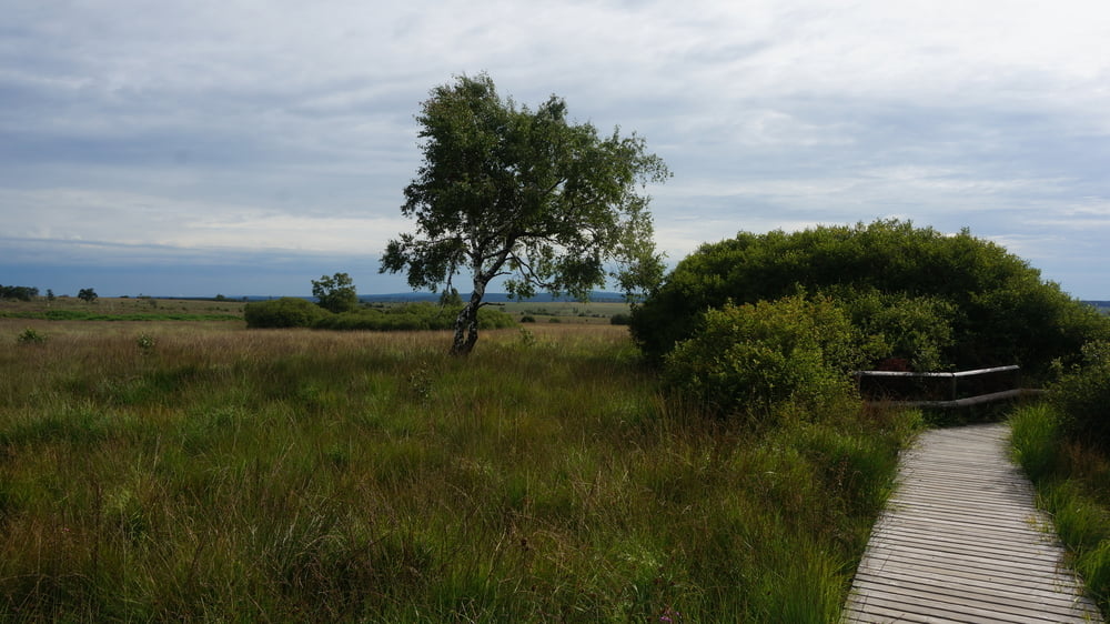
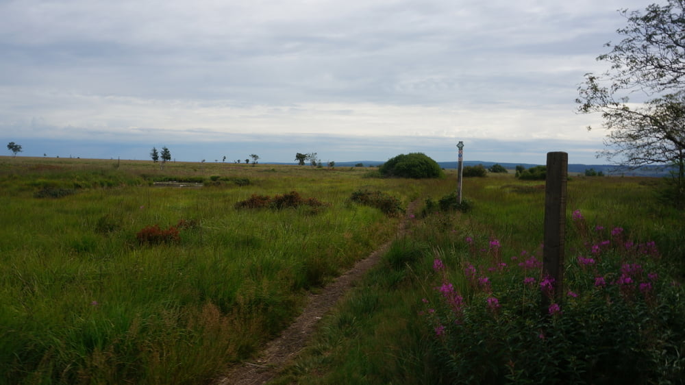
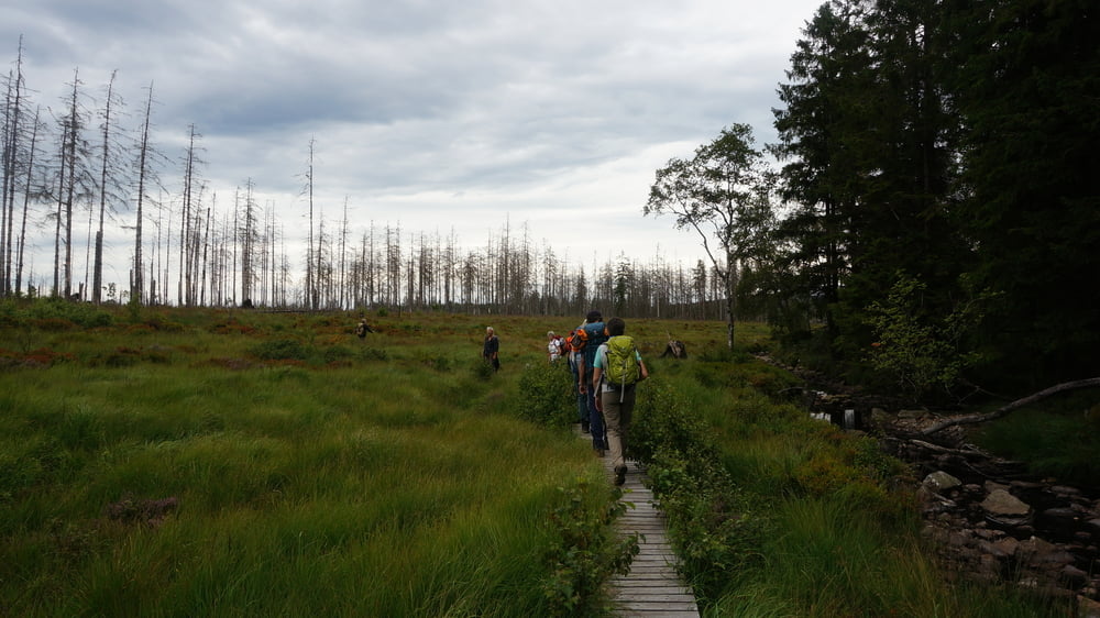
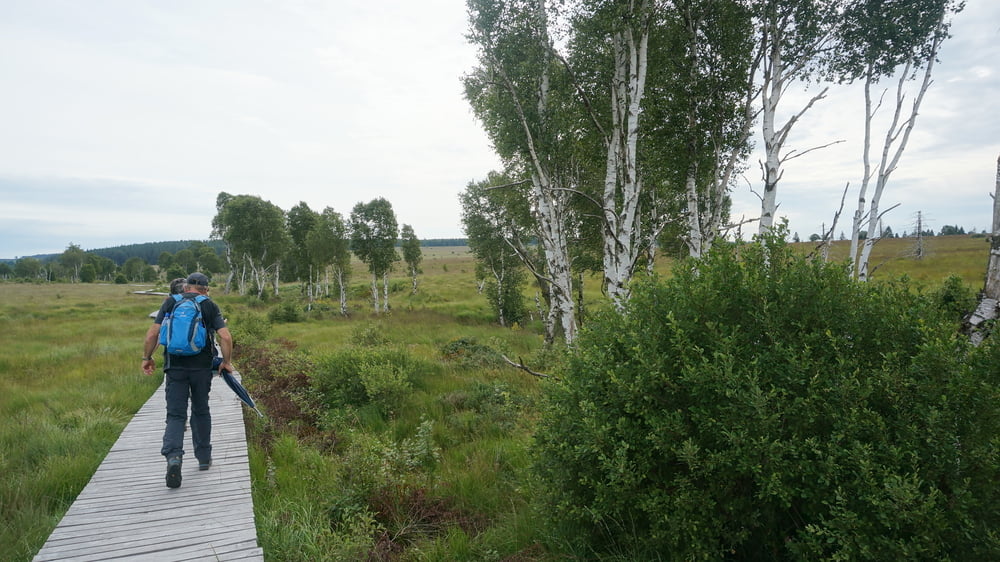
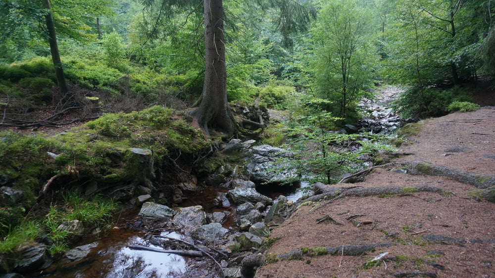
Der Weg führt überwiegend über den Hauptwanderweg GR 56 weiß-rote Balken vom Dach Belgiens an der Hill entlang durchs Hohe Venn und den Herzogenwald bis hinunter in die Unterstadt von Eupen.

Further information at

https://www.sudowe.eu/index.php/renate-s-blog/berichte-2019/320-durchs-hohe-venn-von-baraque-michel-nach-eupen

Galerie du tour

Carte du tour et altitude

  • Open Street Map
  • Google
Minimum height 263 m Maximum height 683 m Vue de détail

More about the tour author

Renatelev
Member since 2012

Send private message

Commentaires

Start: Baraque Michel 36
B - 4845 Jalhay

Tracks GPS

Trackpoints
  • GPX / Garmin Map Source (gpx) download
  • TCX / Garmin Training Center® (tcx) download
  • CRS / Garmin Training Center® (crs) download
  • Google Earth (kml) download
  • G7ToWin (g7t) download
  • TTQV (trk) download
  • Overlay (ovl) download
  • Fugawi (txt) download
  • Kompass (DAV) Track (tk) download
  • Feuille de tours (pdf) download
  • Original file of the author (gpx) download

More about the tour author

Renatelev
Member since 2012

Send private message
Share track
Add to my favorites
Remove from my favorites
Edit tags
My score
Rate
Tour: Durchs Hohe Venn von Baraque Michel nach Eupen
Cat.: Randonnées
Longueur: 22,0 km
Evaluated on:
Durée:
Day(s)
Hour(s)
Minute(s)
Evaluation: Paysage Aspect amusement Condition Technique