Login

Login oublié ?

Cookies have to be accepted!
Your browser's cookie functionality is disabled. Please enable this functionality.

Not a member yet?

Register now
Login

Available for registred users only

Log in to use this feature.

Login oublié ?

Cookies have to be accepted!
Your browser's cookie functionality is disabled. Please enable this functionality.

Not a member yet?

Register now
Filter
Catégories
Advanced filters
  • Longueur (km)
  • Altimètre
Enregistrer le filtre Reset filter

TrackRank

QRCode

Technical data

Longueur17,4 km Altimètre524 m Way down487 m Durée04:17 h:m Date08.04.2020
Evaluations Author Paysage Aspect amusement Condition Technique

Statistiques

587 Vues Evaluations 12 Téléchargements Moyenne
Rate
  • Feuille de tours
  • Arrivée
  • Téléchargements
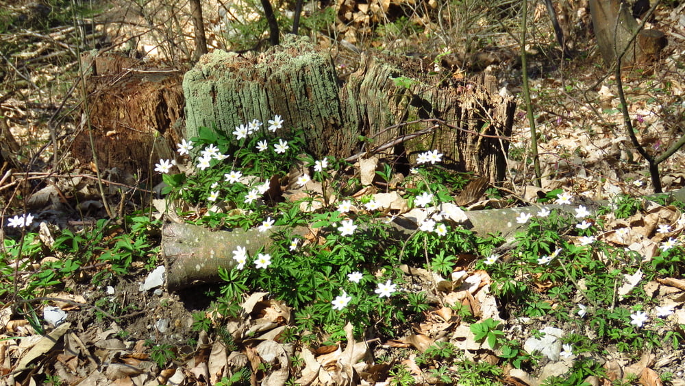
V občinskih mejah. Parkiral pri Peclju. Do Lazarja sem tokrat šel po cesti... Po grebenu je bolj kot ne gozdna cesta, od Vnajnarij naprej sem nekaj časa tolkel asfalt. Malical malo naprej od kmetije Balent, naprej je šlo nekaj časa še po cesti, potem pa strmo dol v dolino Gostince. Dolga dolina, iz vseh koncev tečejo potoki. Od konca doline do Podgrada se je vleklo po asfaltu.

Galerie du tour

Carte du tour et altitude

  • Open Street Map
  • Google
Minimum height 273 m Maximum height 697 m Vue de détail

More about the tour author

sandibor
Member since 2017

Send private message

Commentaires

Tracks GPS

Trackpoints
  • GPX / Garmin Map Source (gpx) download
  • TCX / Garmin Training Center® (tcx) download
  • CRS / Garmin Training Center® (crs) download
  • Google Earth (kml) download
  • G7ToWin (g7t) download
  • TTQV (trk) download
  • Overlay (ovl) download
  • Fugawi (txt) download
  • Kompass (DAV) Track (tk) download
  • Feuille de tours (pdf) download
  • Original file of the author (gpx) download

More about the tour author

sandibor
Member since 2017

Send private message
Share track
Add to my favorites
Remove from my favorites
Edit tags
My score
Rate
Tour: Podgrad-Lazar-Vnajnarje-Kosivna ravan-Gostinca-Podgrad
Cat.: Randonnées
Longueur: 17,4 km
Evaluated on:
Durée:
Day(s)
Hour(s)
Minute(s)
Evaluation: Paysage Aspect amusement Condition Technique