Login

Login oublié ?

Cookies have to be accepted!
Your browser's cookie functionality is disabled. Please enable this functionality.

Not a member yet?

Register now
Login

Available for registred users only

Log in to use this feature.

Login oublié ?

Cookies have to be accepted!
Your browser's cookie functionality is disabled. Please enable this functionality.

Not a member yet?

Register now
Filter
Catégories
Advanced filters
  • Longueur (km)
  • Altimètre
Enregistrer le filtre Reset filter

TrackRank

QRCode

Technical data

Longueur13,5 km Altimètre837 m Way down826 m Durée05:30 h:m Date18.01.2021
Evaluations Author Paysage Aspect amusement Condition Technique

Statistiques

231 Vues Evaluations 7 Téléchargements Moyenne
Rate
  • Feuille de tours
  • Arrivée
  • Téléchargements
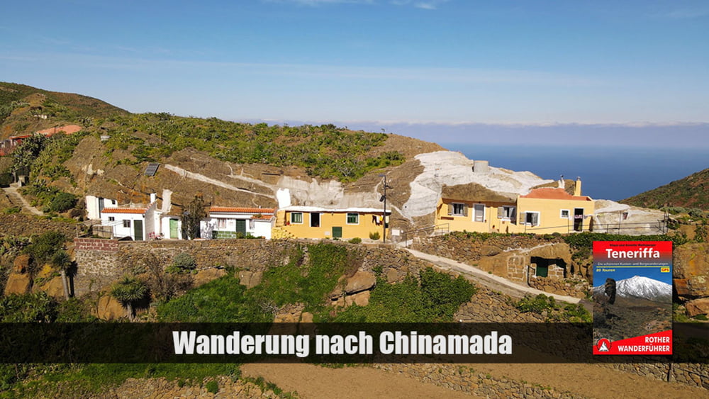
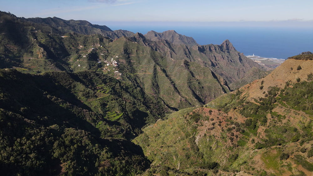
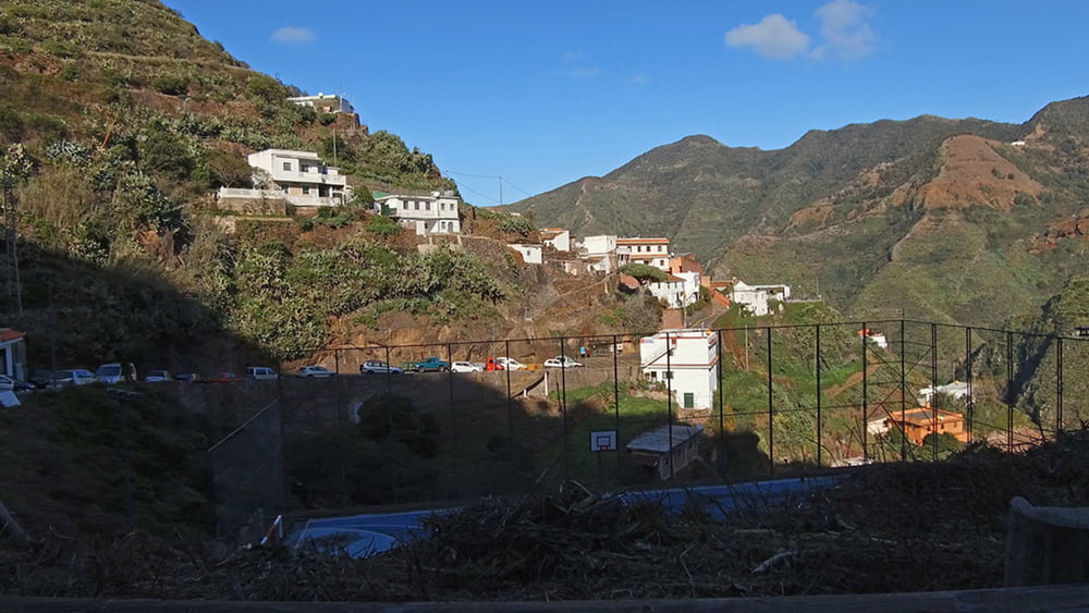
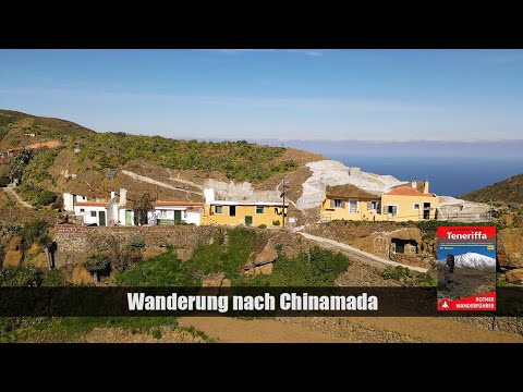
Über den Parkplatz und vorbei an der Ermita de la Cruz del Carmen, gehen wir auf eine Gaststätte zu. Der zunächst immer fallende Wanderweg führt durch einen Lorbeerwald, und fällt von 940 m bis nach Cinamada auf 590m. Von dort senkt er sich in den Barranco del Rio, wo mit 304 m den Tiefste Punkt der Wanderung erreicht haben. Über den Weiler Batánn de Abajo, folgt ein mühsamer Aufstieg nach Cruz del Carmen.

Galerie du tour

Carte du tour et altitude

  • Open Street Map
  • Google
Minimum height 298 m Maximum height 994 m Vue de détail

More about the tour author

schleidy
Member since 2013

Send private message

Commentaires

Tracks GPS

Trackpoints
  • GPX / Garmin Map Source (gpx) download
  • TCX / Garmin Training Center® (tcx) download
  • CRS / Garmin Training Center® (crs) download
  • Google Earth (kml) download
  • G7ToWin (g7t) download
  • TTQV (trk) download
  • Overlay (ovl) download
  • Fugawi (txt) download
  • Kompass (DAV) Track (tk) download
  • Feuille de tours (pdf) download
  • Original file of the author (gpx) download

More about the tour author

schleidy
Member since 2013

Send private message
Share track
Add to my favorites
Remove from my favorites
Edit tags
My score
Rate
Tour: Von Cruz del Carmen nach Chinamada
Cat.: Randonnées
Longueur: 13,5 km
Evaluated on:
Durée:
Day(s)
Hour(s)
Minute(s)
Evaluation: Paysage Aspect amusement Condition Technique