Login

Login oublié ?

Cookies have to be accepted!
Your browser's cookie functionality is disabled. Please enable this functionality.

Not a member yet?

Register now
Login

Available for registred users only

Log in to use this feature.

Login oublié ?

Cookies have to be accepted!
Your browser's cookie functionality is disabled. Please enable this functionality.

Not a member yet?

Register now
Filter
Catégories
Advanced filters
  • Longueur (km)
  • Altimètre
Enregistrer le filtre Reset filter

TrackRank

QRCode

Technical data

Longueur24,4 km Altimètre365 m Way down355 m Durée01:30 h:m Date11.09.2021
Evaluations Author Paysage Aspect amusement Condition Technique

Statistiques

94 Vues Evaluations 14 Téléchargements Moyenne
Rate
  • Feuille de tours
  • Arrivée
  • Téléchargements

Wer hätte das gedacht: in der Bretagne kann man auch gut Mountainbiken. Es gibt eine tolle Webseite mit 80 Touren. Siehe Link unten.

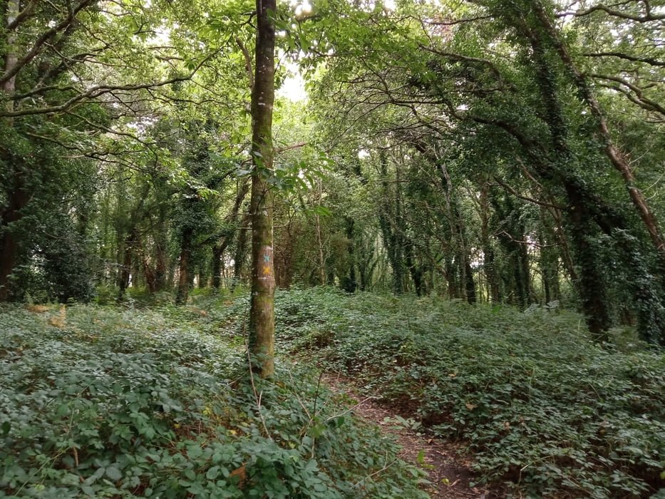
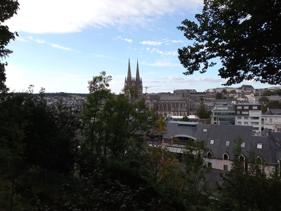
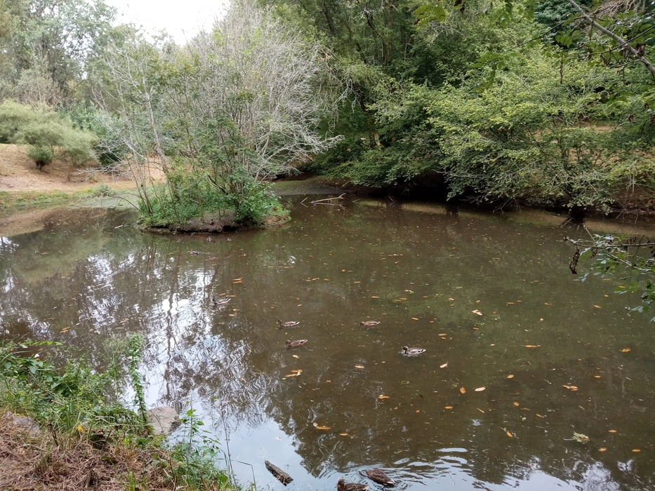
Schöne Tour, wenn man nach einem Besuch von Quimper noch etwas Energie abbauen muss. Wir starten am Campingplatz in Quimper und folgen dann im Wesentlichen der Strecke 2/'Vallée de l'Eau Blanche. Erstaunlich ist, dass man sich größtenteils im Stadtgebiet befindet und trotzdem zu über 50% auf Single Trails fährt.

Neben der eigentlichen Strecke gibt es auch viele andere Pfade, die in meiner Open Street Maps Karte nicht eingezeichnet waren. Deshalb kann man sich leicht mal verfahren, was mir auch passier ist. Das ist aber nicht weiter schlimm: man kommt meist wieder schnell auf die eigentliche Tour und es ist alles fahrbar.

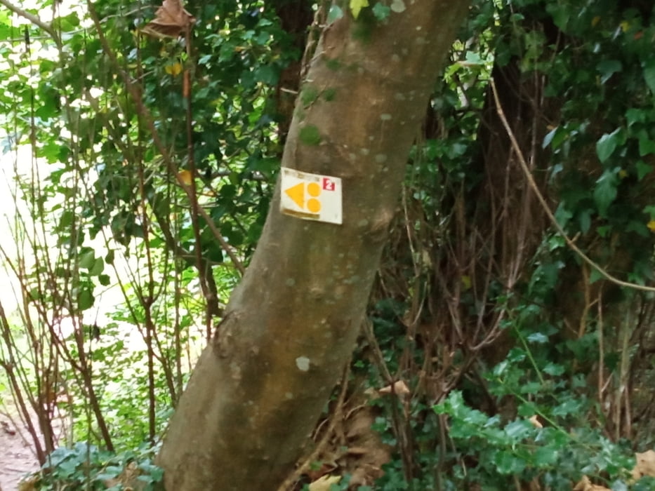
Aufpassen muss man in Ti Douar am östlichen Zipfel der Strecke, weil man da eine Acht fährt. Kann man natürlich auch abkürzen, wenn man will.

Further information at

https://vttenfinistere.fr/carte-interactive-boucles-vtt-finistere/

Galerie du tour

Carte du tour et altitude

  • Open Street Map
  • Google
Minimum height -1 m Maximum height 76 m Vue de détail

More about the tour author

buehlems
Member since 2008

Send private message

Commentaires

Tracks GPS

Trackpoints
  • GPX / Garmin Map Source (gpx) download
  • TCX / Garmin Training Center® (tcx) download
  • CRS / Garmin Training Center® (crs) download
  • Google Earth (kml) download
  • G7ToWin (g7t) download
  • TTQV (trk) download
  • Overlay (ovl) download
  • Fugawi (txt) download
  • Kompass (DAV) Track (tk) download
  • Feuille de tours (pdf) download
  • Original file of the author (gpx) download

More about the tour author

buehlems
Member since 2008

Send private message
Share track
Add to my favorites
Remove from my favorites
Edit tags
My score
Rate
Tour: Tour um Quimper
Cat.: Mountainbike
Longueur: 24,4 km
Evaluated on:
Durée:
Day(s)
Hour(s)
Minute(s)
Evaluation: Paysage Aspect amusement Condition Technique