Login

Login oublié ?

Cookies have to be accepted!
Your browser's cookie functionality is disabled. Please enable this functionality.

Not a member yet?

Register now
Login

Available for registred users only

Log in to use this feature.

Login oublié ?

Cookies have to be accepted!
Your browser's cookie functionality is disabled. Please enable this functionality.

Not a member yet?

Register now
Filter
Catégories
Advanced filters
  • Longueur (km)
  • Altimètre
Enregistrer le filtre Reset filter

TrackRank

QRCode

Technical data

Longueur27,8 km Altimètre815 m Way down816 m Durée00:00 h:m Date05.10.2021
Evaluations Author Paysage Aspect amusement Condition Technique

Statistiques

121 Vues Evaluations 2 Téléchargements Moyenne
Rate
  • Feuille de tours
  • Arrivée
  • Téléchargements
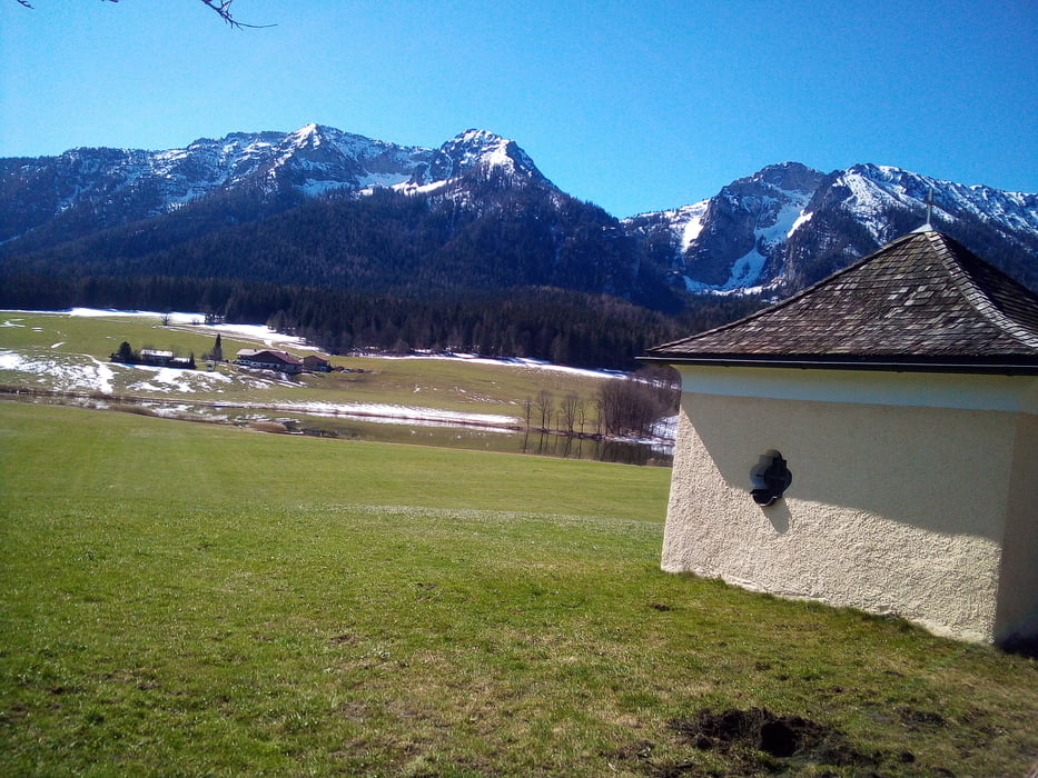
Zwar verläuft die Tour überwiegend auf asphaltierten Radwegen und Nebenstraßen. Jedoch kann diese aufgrund eines Teilstücks zwischen Ruhpolding und Inzell m. E. nur mit 8 Zoll-Rädern bewältigt werden. Angesichts Streckenbeschaffenheit und Anstieg mußte ich dort meine Skikes auf einer kurzen Strecke (ca. 500 m) ausziehen. Ansonsten ist es eine gut zu laufende und sehr schöne Strecke.

Einschränkungen

This tour has a carry or push section on 0.5 kilometers

Galerie du tour

Carte du tour et altitude

  • Open Street Map
  • Google
Minimum height 607 m Maximum height 887 m Vue de détail

More about the tour author

Asphaltstecher
Member since 2020

Send private message

Commentaires

Einschränkungen

This tour has a carry or push section on 0.5 kilometers

Tracks GPS

Trackpoints
  • GPX / Garmin Map Source (gpx) download
  • TCX / Garmin Training Center® (tcx) download
  • CRS / Garmin Training Center® (crs) download
  • Google Earth (kml) download
  • G7ToWin (g7t) download
  • TTQV (trk) download
  • Overlay (ovl) download
  • Fugawi (txt) download
  • Kompass (DAV) Track (tk) download
  • Feuille de tours (pdf) download
  • Original file of the author (gpx) download

More about the tour author

Asphaltstecher
Member since 2020

Send private message
Share track
Add to my favorites
Remove from my favorites
Edit tags
My score
Rate
Tour: Skike V9 200: Ab Siegsdorf um Zinnkopf und Sulzberg
Cat.: Ski de fond
Longueur: 27,8 km
Evaluated on:
Durée:
Day(s)
Hour(s)
Minute(s)
Evaluation: Paysage Aspect amusement Condition Technique