


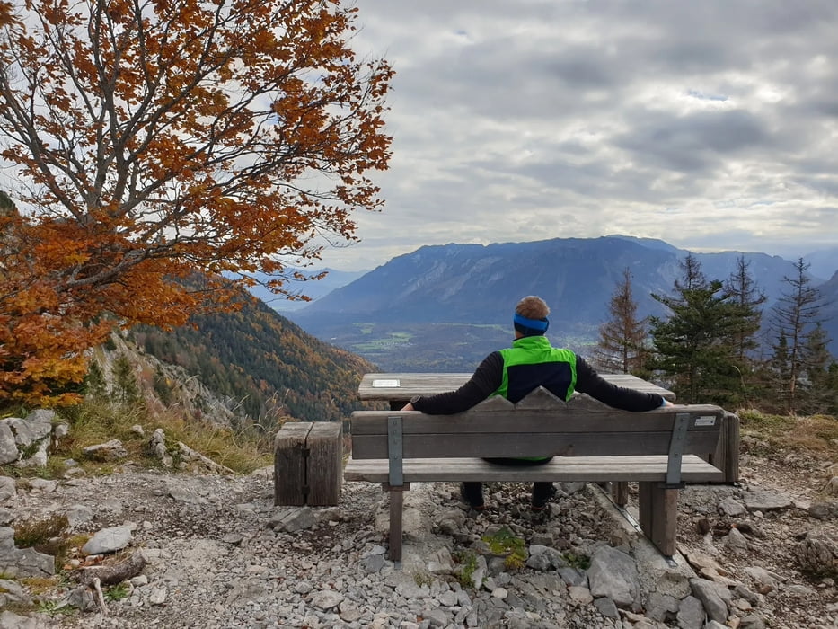
Das war ein großer Wunsch von mir.
Diese Bank am Hochstaufen (Hausberg von Bad Reichenhall) zusammen mit meinem Sohn erwandern. Der hat arbeitsbedingt in REI die Zelte aufgeschlagen.
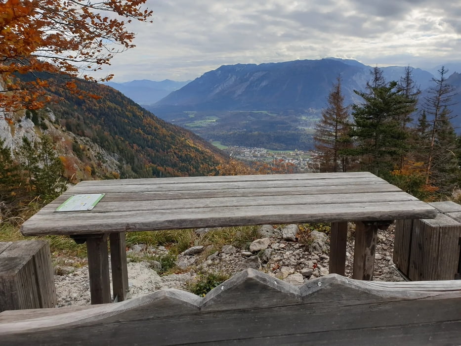
Tolle Aussichten
Start am letzten Parkplatz in Nonn.
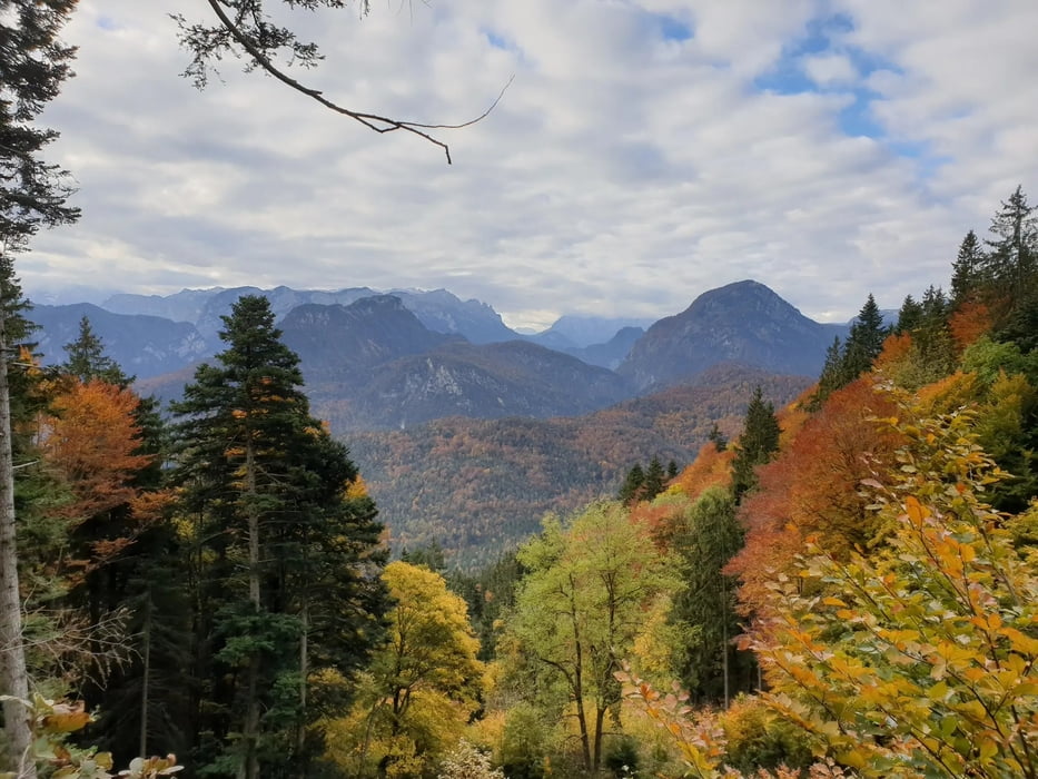
Auf der SalzAlpen Tour bzw. dem Reichenhaller Panoramaweg in Richtung Padinger Alm.
Dann biegen wir auf den Bartlmahd-Weg.
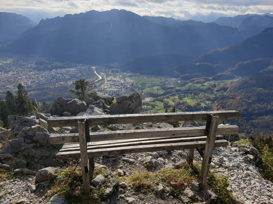
Wir erreichen die Bank und laufen dann noch etwas weiter zur nächsten Bank. Tolle Aussichten auf Bad Reichenhall.
Further information at
https://de.wikipedia.org/wiki/HochstaufenGalerie du tour
Carte du tour et altitude
Minimum height 520 m
Maximum height 1256 m
More about the tour author
|
|
Stummi |
Commentaires

Tracks GPS
Trackpoints-
GPX / Garmin Map Source (gpx) download
-
TCX / Garmin Training Center® (tcx) download
-
CRS / Garmin Training Center® (crs) download
-
Google Earth (kml) download
-
G7ToWin (g7t) download
-
TTQV (trk) download
-
Overlay (ovl) download
-
Fugawi (txt) download
-
Kompass (DAV) Track (tk) download
-
Feuille de tours (pdf) download
-
Original file of the author (gpx) download
More about the tour author
|
|
Stummi |
Add to my favorites
Remove from my favorites
Edit tags
Open track
My score
Rate