Login

Login oublié ?

Cookies have to be accepted!
Your browser's cookie functionality is disabled. Please enable this functionality.

Not a member yet?

Register now
Login

Available for registred users only

Log in to use this feature.

Login oublié ?

Cookies have to be accepted!
Your browser's cookie functionality is disabled. Please enable this functionality.

Not a member yet?

Register now
Filter
Catégories
Advanced filters
  • Longueur (km)
  • Altimètre
Enregistrer le filtre Reset filter

TrackRank

QRCode

Technical data

Longueur15,3 km Altimètre1322 m Way down1357 m Durée00:00 h:m Date11.03.2022
Evaluations Author Paysage Aspect amusement Condition Technique

Statistiques

111 Vues Evaluations 0 Téléchargements Moyenne
Rate
  • Feuille de tours
  • Arrivée
  • Téléchargements
Von Megali Gotista auf der Almstraße oder bei guten Schneeverhältnissen auf dem E6 die Kehren abkürzend zu Alm. Hier sind auch im Winter Hunde, also besser mit respektvollem Abstand umgehen. Weiter entlang der Forststraße, Kehren abkürzend zur Hochalm auf 1650m. Nun je nach Verhältnissen rechts über den SW-Grat oder direkt über die NW-Flanke zum Gipfel. Abfahrt entweder wie Aufstieg oder  zunächst über den Nordrücken in die W-Flanken  der Schnee ist hier möglicherweise weniger windbehandelt)
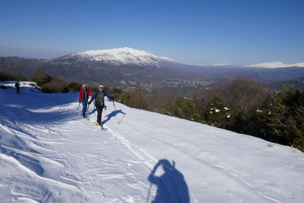
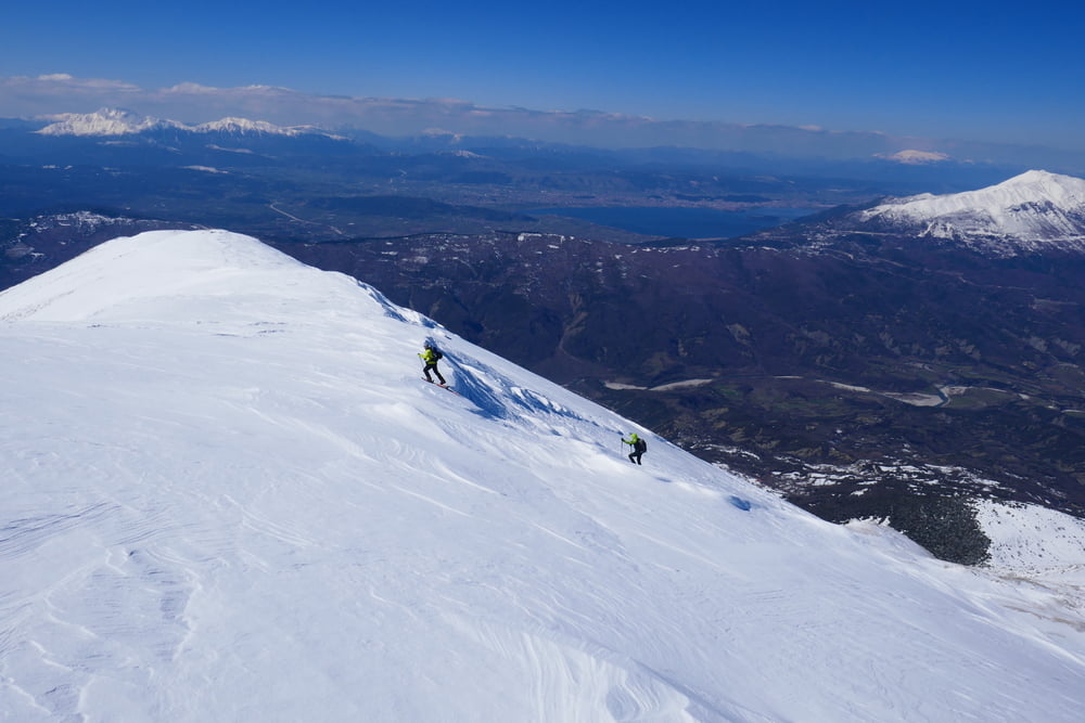
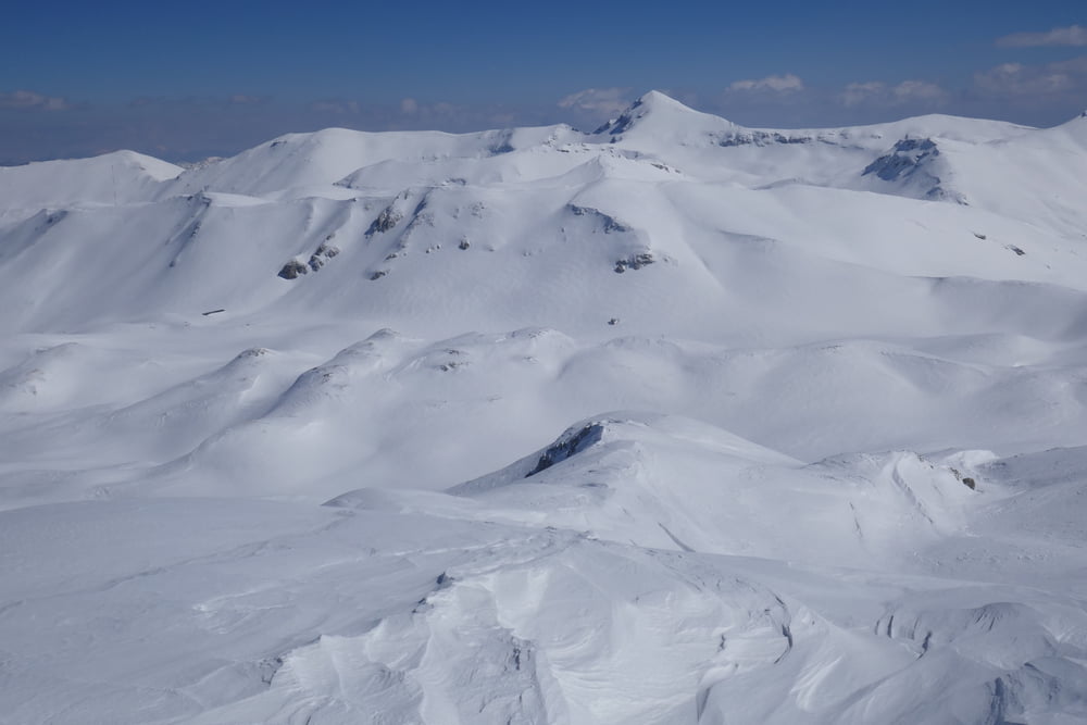
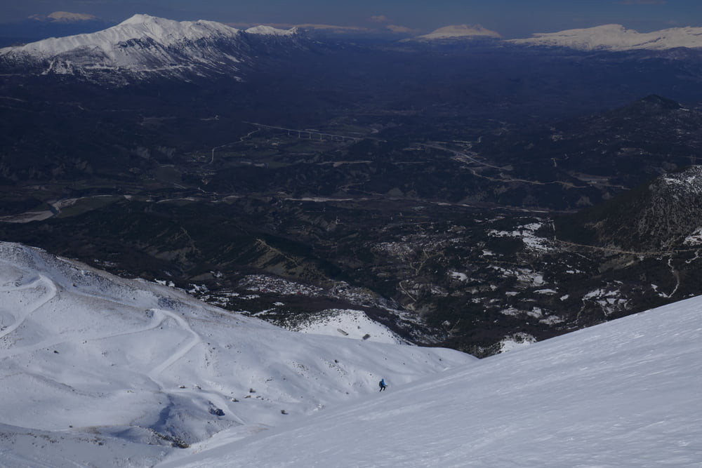
Galerie du tour

Carte du tour et altitude

  • Open Street Map
  • Google
Minimum height 855 m Maximum height 2222 m Vue de détail

More about the tour author

Gi
Member since 2010

Send private message

Commentaires

Von Metsovo auf der Autobahn A2 in Richtung Ioanina. Ausfahrt Zagori nehmen und weiter über Mikri Gotista nach Megali Gotista.

Tracks GPS

Trackpoints
  • GPX / Garmin Map Source (gpx) download
  • TCX / Garmin Training Center® (tcx) download
  • CRS / Garmin Training Center® (crs) download
  • Google Earth (kml) download
  • G7ToWin (g7t) download
  • TTQV (trk) download
  • Overlay (ovl) download
  • Fugawi (txt) download
  • Kompass (DAV) Track (tk) download
  • Feuille de tours (pdf) download
  • Original file of the author (gpx) download

More about the tour author

Gi
Member since 2010

Send private message
Share track
Add to my favorites
Remove from my favorites
Edit tags
My score
Rate
Tour: Gourasa
Cat.: Ski touring
Longueur: 15,3 km
Evaluated on:
Durée:
Day(s)
Hour(s)
Minute(s)
Evaluation: Paysage Aspect amusement Condition Technique