Login

Login oublié ?

Cookies have to be accepted!
Your browser's cookie functionality is disabled. Please enable this functionality.

Not a member yet?

Register now
Login

Available for registred users only

Log in to use this feature.

Login oublié ?

Cookies have to be accepted!
Your browser's cookie functionality is disabled. Please enable this functionality.

Not a member yet?

Register now
Filter
Catégories
Advanced filters
  • Longueur (km)
  • Altimètre
Enregistrer le filtre Reset filter

TrackRank

QRCode

Technical data

Longueur63,3 km Altimètre611 m Way down597 m Durée00:00 h:m Date09.03.2023
Evaluations Author Paysage Aspect amusement Condition Technique

Statistiques

98 Vues Evaluations 1 Téléchargement Moyenne
Rate
  • Feuille de tours
  • Arrivée
  • Téléchargements
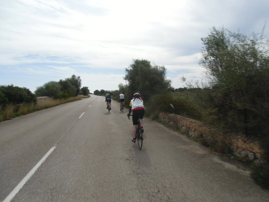
von Cala Millor über die Küstenstrasse zur Calas de Mallorca, hoch nach Son Macia (Pause) und zurück nach Cala Millor. 
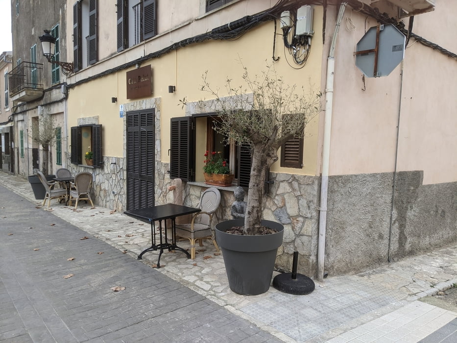
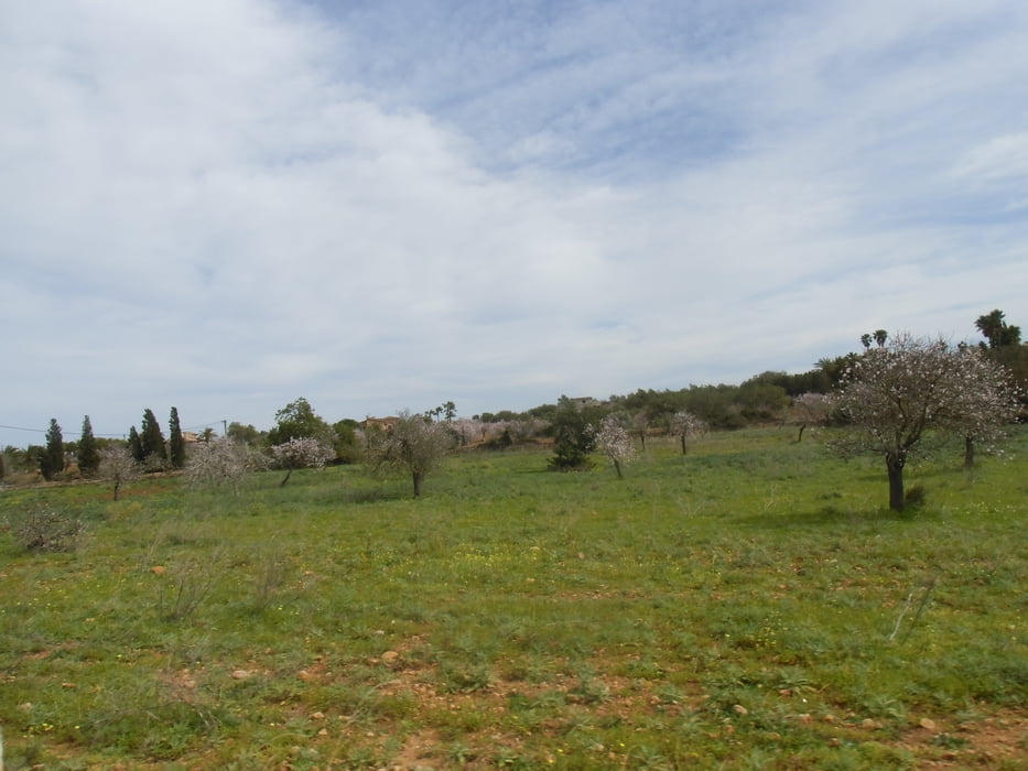
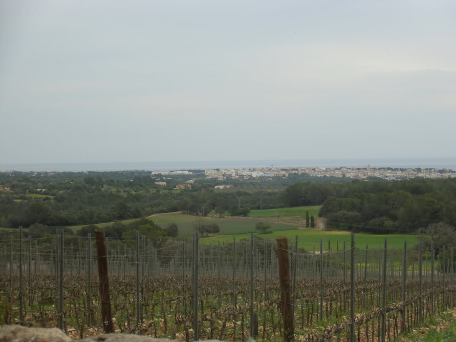
Galerie du tour

Carte du tour et altitude

  • Open Street Map
  • Google
Minimum height -5 m Maximum height 182 m Vue de détail

More about the tour author

athena
Member since 2008

Send private message

Commentaires

Tracks GPS

Trackpoints
  • GPX / Garmin Map Source (gpx) download
  • TCX / Garmin Training Center® (tcx) download
  • CRS / Garmin Training Center® (crs) download
  • Google Earth (kml) download
  • G7ToWin (g7t) download
  • TTQV (trk) download
  • Overlay (ovl) download
  • Fugawi (txt) download
  • Kompass (DAV) Track (tk) download
  • Feuille de tours (pdf) download
  • Original file of the author (gpx) download

More about the tour author

athena
Member since 2008

Send private message
Share track
Add to my favorites
Remove from my favorites
Edit tags
My score
Rate
Tour: Cala Millor 2023_04
Cat.: Trekkingbike
Longueur: 63,3 km
Evaluated on:
Durée:
Day(s)
Hour(s)
Minute(s)
Evaluation: Paysage Aspect amusement Condition Technique