Login

Login oublié ?

Cookies have to be accepted!
Your browser's cookie functionality is disabled. Please enable this functionality.

Not a member yet?

Register now
Login

Available for registred users only

Log in to use this feature.

Login oublié ?

Cookies have to be accepted!
Your browser's cookie functionality is disabled. Please enable this functionality.

Not a member yet?

Register now
Filter
Catégories
Advanced filters
  • Longueur (km)
  • Altimètre
Enregistrer le filtre Reset filter

TrackRank

QRCode

Technical data

Longueur14,9 km Altimètre547 m Way down398 m Durée00:00 h:m Date15.05.2023
Evaluations Author Paysage Aspect amusement Condition Technique

Statistiques

146 Vues Evaluations 2 Téléchargements Moyenne
Rate
  • Feuille de tours
  • Arrivée
  • Téléchargements

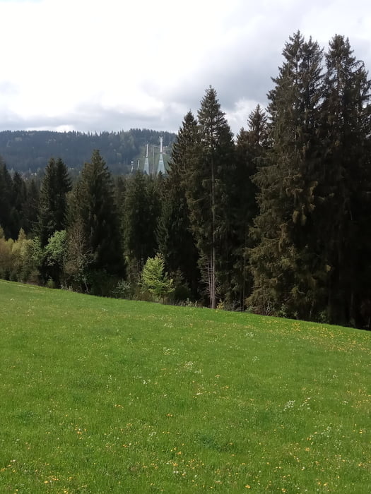
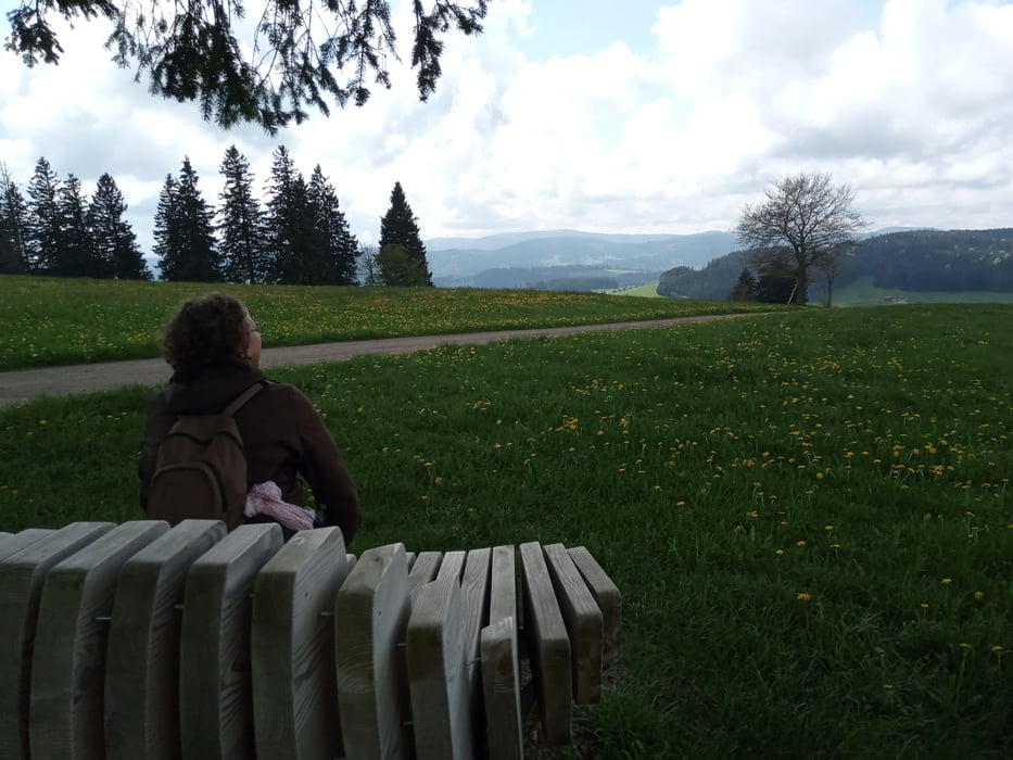
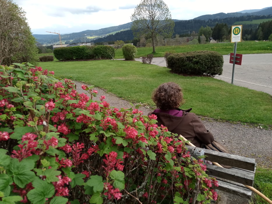
Start in Hinterzarten im Naturpark Südschwarzwald// Naturschutzgebiet Hinterzartener Moor//Weißtannenhöhe (1192 m) und Fahrenberger Höhe // Blicke auf Schauinsland oder Kandel, bis in die Vogesen (heute leider nicht auf die Alpen).  Breitnau_Kirche -und mit dem Bus zurück nach Hinterzarten.


(Anregung durch  und Dank an....

:https://www.wanderservice-schwarzwald.de/de/tour/wanderungen/von-hinterzarten-nach-breitnau/4680246/

Further information at

https://www.wanderservice-schwarzwald.de/de/touren/#cat=Wandern-main,Premiumwege,Genie%C3%9Ferpfade,14269230,Fernwanderwege,Themenwege,Wanderungen,14269236,Stadtrundg%C3%A4nge,Qualit%C3%A4tswege&filter=r-fullyTranslatedLangus-,r-onlyOpened-,sb-sortedBy-0&

Galerie du tour

Carte du tour et altitude

  • Open Street Map
  • Google
Minimum height 798 m Maximum height 1179 m Vue de détail

More about the tour author

bussard
Member since 2009

Send private message

Commentaires

Bhf. Hinterzarten

Tracks GPS

Trackpoints
  • GPX / Garmin Map Source (gpx) download
  • TCX / Garmin Training Center® (tcx) download
  • CRS / Garmin Training Center® (crs) download
  • Google Earth (kml) download
  • G7ToWin (g7t) download
  • TTQV (trk) download
  • Overlay (ovl) download
  • Fugawi (txt) download
  • Kompass (DAV) Track (tk) download
  • Feuille de tours (pdf) download
  • Original file of the author (gpx) download

More about the tour author

bussard
Member since 2009

Send private message
Share track
Add to my favorites
Remove from my favorites
Edit tags
My score
Rate
Tour: Über die Fahrenberger Höhe nach Breitnau
Cat.: Randonnées
Longueur: 14,9 km
Evaluated on:
Durée:
Day(s)
Hour(s)
Minute(s)
Evaluation: Paysage Aspect amusement Condition Technique