Login

Login oublié ?

Cookies have to be accepted!
Your browser's cookie functionality is disabled. Please enable this functionality.

Not a member yet?

Register now
Login

Available for registred users only

Log in to use this feature.

Login oublié ?

Cookies have to be accepted!
Your browser's cookie functionality is disabled. Please enable this functionality.

Not a member yet?

Register now
Filter
Catégories
Advanced filters
  • Longueur (km)
  • Altimètre
Enregistrer le filtre Reset filter

TrackRank

QRCode

Technical data

Longueur92,0 km Altimètre2208 m Way down2383 m Durée07:30 h:m Date24.08.2023
Evaluations Author Paysage Aspect amusement Condition Technique

Statistiques

198 Vues Evaluations 1 Téléchargement Moyenne
Rate
  • Feuille de tours
  • Arrivée
  • Téléchargements

Jogllandtour über die Wildwiese, halb gefahren.


Meine Unterkunft war in Ratten. 

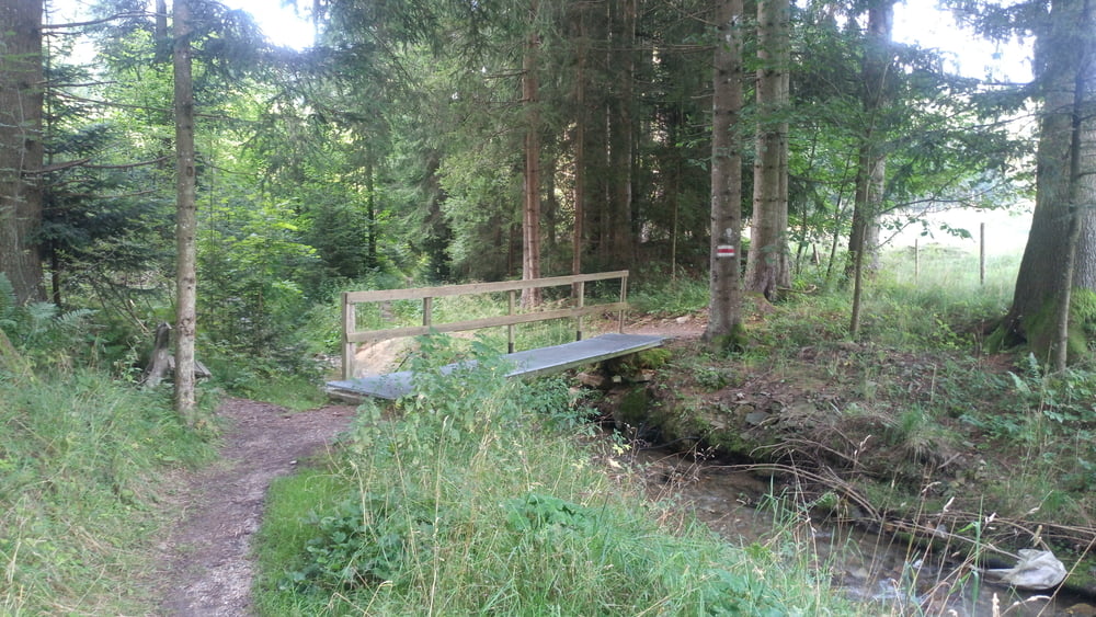
Von da bin ich zur B72, den Radweg am Hirschbach hoch und in den großen Jogl eingestiegen.

Der Radweg ist in beiden Richtungen gut ausgewiesen, daher kein GPS notwendig.

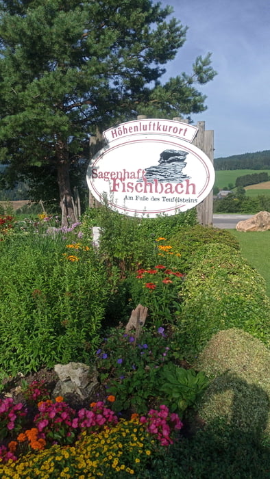
Es geht über Falkenstein und Fischbach nach Birkfeld.

Den Lafnitztalradweg ein Stück hoch und über Strallegg nach Wenigzell.

Dort hatte ich Mittagspause.

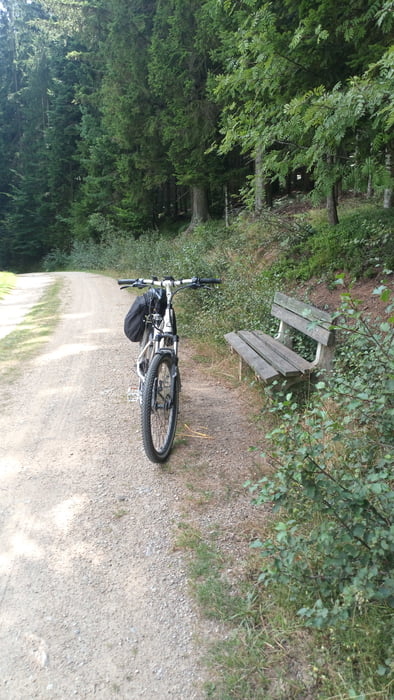
Danach gings zum Masenberg. Ich bin nicht rauf, da mein Rad Probleme bereitete.

So bin ich nur mehr über Vorau nach Mönichwald gefahren.


Further information at

https://regio.outdooractive.com/oar-joglland-waldheimat/de/tour/mountainbike/der-grosse-jogl-variante-2-ueber-die-wildwiese/43055957/?utm_medium=referral&utm_source=embed&utm_campaign=embed-plugin-referral&utm_term=https%3A%2F%2Fwww.joglland.at%2F

Galerie du tour

Carte du tour et altitude

  • Open Street Map
  • Google
Minimum height 550 m Maximum height 1233 m Vue de détail

More about the tour author

Jonas6x62
Member since 2020

Send private message

Commentaires

Tracks GPS

Trackpoints
  • GPX / Garmin Map Source (gpx) download
  • TCX / Garmin Training Center® (tcx) download
  • CRS / Garmin Training Center® (crs) download
  • Google Earth (kml) download
  • G7ToWin (g7t) download
  • TTQV (trk) download
  • Overlay (ovl) download
  • Fugawi (txt) download
  • Kompass (DAV) Track (tk) download
  • Feuille de tours (pdf) download
  • Original file of the author (gpx) download

More about the tour author

Jonas6x62
Member since 2020

Send private message
Share track
Add to my favorites
Remove from my favorites
Edit tags
My score
Rate
Tour: Halber großer Jogl
Cat.: Mountainbike
Longueur: 92,0 km
Evaluated on:
Durée:
Day(s)
Hour(s)
Minute(s)
Evaluation: Paysage Aspect amusement Condition Technique