


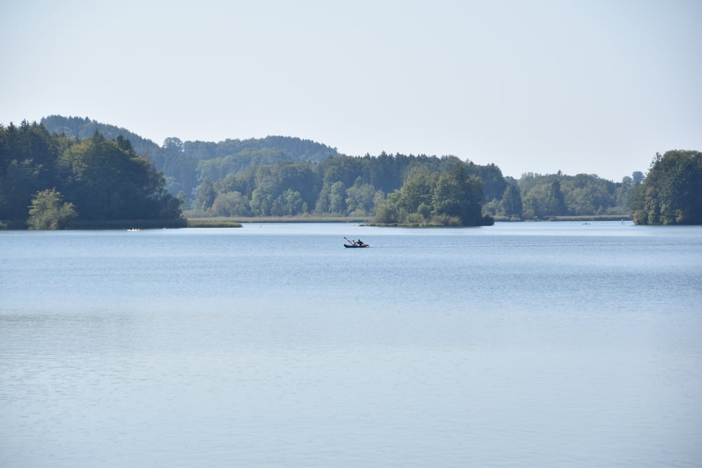
Es ist nochmal super Sommerwetter und wir beschließen zum Seehammer See zu fahren. Allerdings mit kleinem Umweg über Irschenberg. Zwischen Weyarn und Irschenberg ist es super schön. Man kommt sich vor wie auf der Alm und sieht in die Berge - heute etwas diesig, aber trotzdem schön. In Irschenberg waren wir beim Dinzler und haben einen Espresso getrunken. Kaffee können die!
ungeteert ist nur ein ca. 300 Meter langes Stück ins Leizachtal runter und vom Sportplatz Aying nach Dürnhaar. Ah und von Kreuzstra´ße Richtung Peiß. Hier war heute super viel Verkehr und wir sind auf den Abkürzer ausgewichen. Sonst alles geteert.
Tour ist gut lang und uns hats gereicht, als wir daheim waren. Aber schön!
Further information at
https://de.wikipedia.org/wiki/IrschenbergGalerie du tour

Carte du tour et altitude
Minimum height 513 m
Maximum height 737 m
More about the tour author

|
smartandem |
Commentaires

Mit dem Auto aus der Stadt über die B304 nach Haar und dann über die B471 bis Keferloh. Dort kann man parken, wenn nicht Antikmarkt ist (jeden 1. Sonntag im Monat). Aus dem Umland über die A99 in Haar rausfahren und dann auch über die B471 bis Keferloh.
Wir radeln hin.
Tracks GPS
Trackpoints-
GPX / Garmin Map Source (gpx) download
-
TCX / Garmin Training Center® (tcx) download
-
CRS / Garmin Training Center® (crs) download
-
Google Earth (kml) download
-
G7ToWin (g7t) download
-
TTQV (trk) download
-
Overlay (ovl) download
-
Fugawi (txt) download
-
Kompass (DAV) Track (tk) download
-
Feuille de tours (pdf) download
-
Original file of the author (gpx) download
More about the tour author
|
|
smartandem |
Add to my favorites
Remove from my favorites
Edit tags
Open track
My score
Rate