Login

Login oublié ?

Cookies have to be accepted!
Your browser's cookie functionality is disabled. Please enable this functionality.

Not a member yet?

Register now
Login

Available for registred users only

Log in to use this feature.

Login oublié ?

Cookies have to be accepted!
Your browser's cookie functionality is disabled. Please enable this functionality.

Not a member yet?

Register now
Filter
Catégories
Advanced filters
  • Longueur (km)
  • Altimètre
Enregistrer le filtre Reset filter

TrackRank

QRCode

Technical data

Longueur13,9 km Altimètre159 m Way down148 m Durée00:00 h:m Date25.02.2024
Evaluations Author Paysage Aspect amusement Condition Technique

Statistiques

153 Vues Evaluations 0 Téléchargements Moyenne
Rate
  • Feuille de tours
  • Arrivée
  • Téléchargements
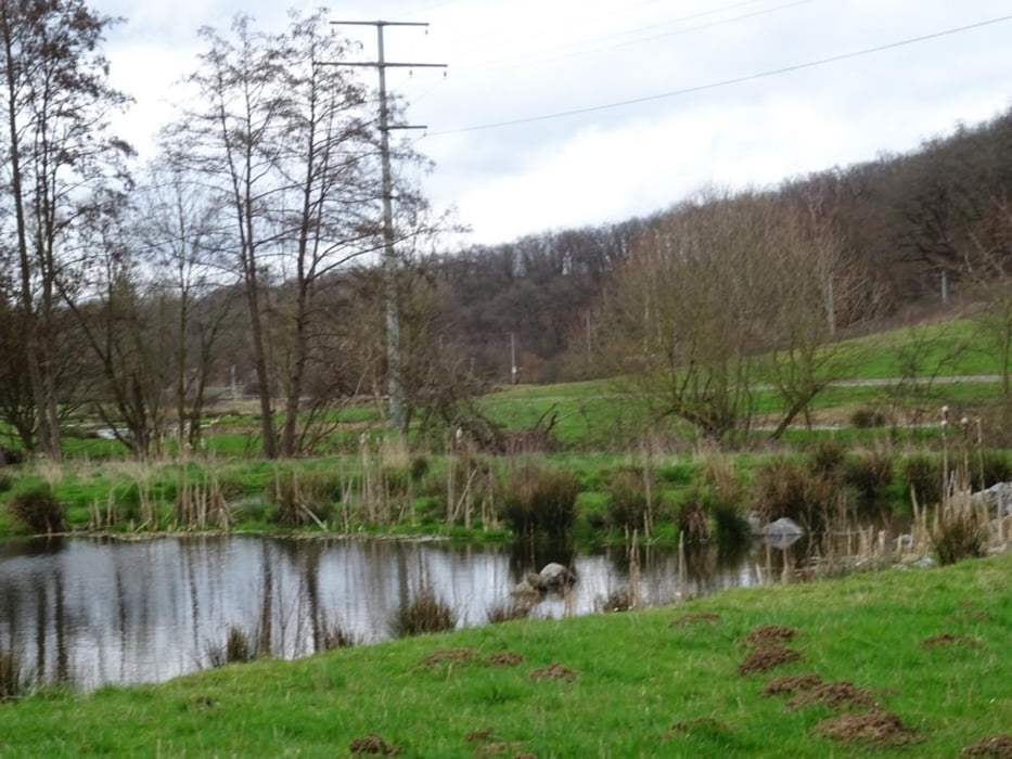
Vom Alten Sportplatz zum "Lug-ins-Land. Weiter über die Höhe an der ICE Strecke entlang bis Niederbrechen. Zurück ins Tal und an der Ems entlang zurück nach Selters (Ts). Unterwegs eine Besichtigung des Biotops "Unterm Nippchen" 

Further information at

https://sonntagswandern.de/von-selters-ts-ueber-die-hoehe-nach-brechen-und-durch-das-tal-zurueck-25-februar-2024/

Galerie du tour

Carte du tour et altitude

  • Open Street Map
  • Google
Minimum height 147 m Maximum height 267 m Vue de détail

More about the tour author

Sonntagswanderin
Member since 2020

Send private message

Commentaires

mit der Bahn nach Niederselters, oder über die B8 zum Alten Sportplatz in Niederselters

Tracks GPS

Trackpoints
  • GPX / Garmin Map Source (gpx) download
  • TCX / Garmin Training Center® (tcx) download
  • CRS / Garmin Training Center® (crs) download
  • Google Earth (kml) download
  • G7ToWin (g7t) download
  • TTQV (trk) download
  • Overlay (ovl) download
  • Fugawi (txt) download
  • Kompass (DAV) Track (tk) download
  • Feuille de tours (pdf) download
  • Original file of the author (gpx) download

More about the tour author

Sonntagswanderin
Member since 2020

Send private message
Share track
Add to my favorites
Remove from my favorites
Edit tags
My score
Rate
Tour: Von Selters (Ts) ueber die Höhe nach Brechen und durch das Tal zurück
Cat.: Randonnées
Longueur: 13,9 km
Evaluated on:
Durée:
Day(s)
Hour(s)
Minute(s)
Evaluation: Paysage Aspect amusement Condition Technique