Login

Login oublié ?

Cookies have to be accepted!
Your browser's cookie functionality is disabled. Please enable this functionality.

Not a member yet?

Register now
Login

Available for registred users only

Log in to use this feature.

Login oublié ?

Cookies have to be accepted!
Your browser's cookie functionality is disabled. Please enable this functionality.

Not a member yet?

Register now
Filter
Catégories
Advanced filters
  • Longueur (km)
  • Altimètre
Enregistrer le filtre Reset filter

TrackRank

QRCode

Technical data

Longueur9,3 km Altimètre555 m Way down512 m Durée03:30 h:m Date16.01.2024
Evaluations Author Paysage Aspect amusement Condition Technique

Statistiques

132 Vues Evaluations 2 Téléchargements Moyenne
Rate
  • Feuille de tours
  • Arrivée
  • Téléchargements
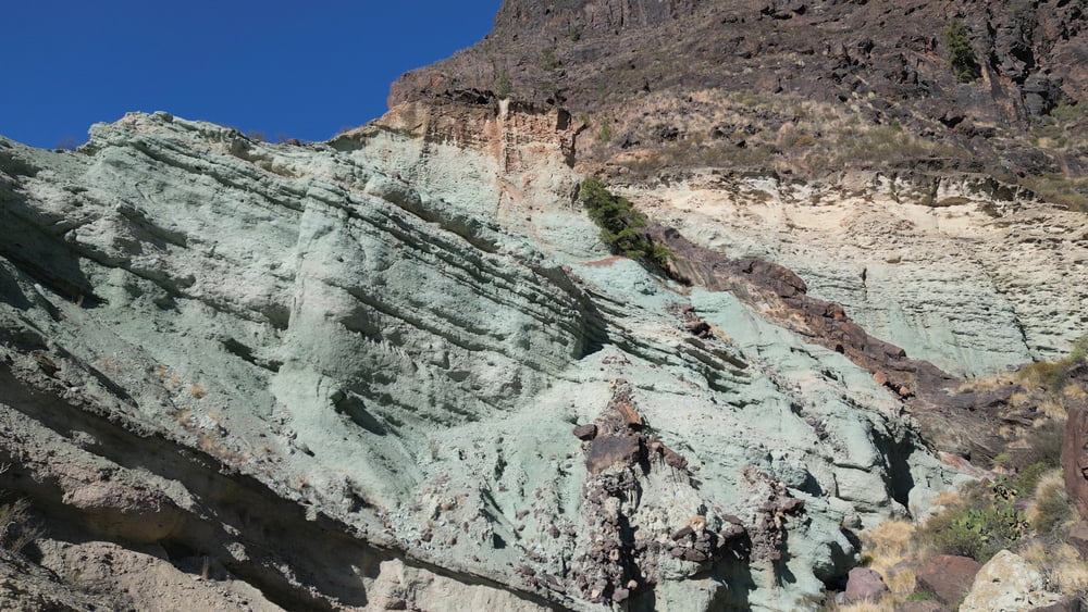
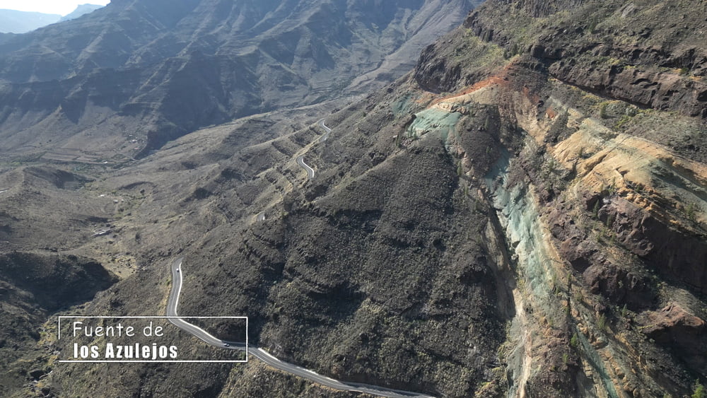
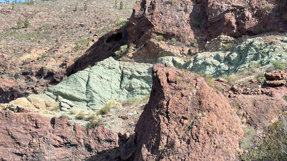
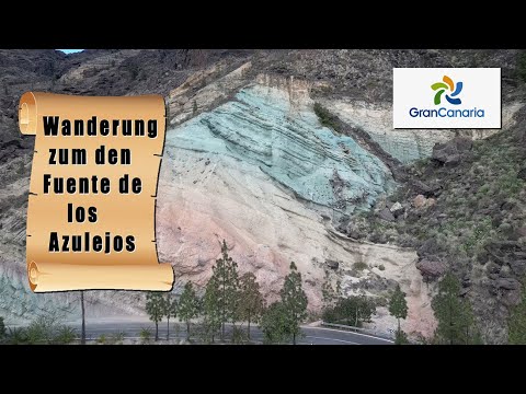
Es geht zunächst der Straße entlang bis zu einem Wegweiser der uns Bergan führt. Diesem Pfad folgend, ist eine Verlaufen nicht mehr möglich. An den ersten Azulejos vorbei führt der Pfad auf ein Plateau hinauf, wo wir einem Forstweg folgen. In der Folge steigen wir durch den Bco. de la Manta wieder zur GC 200 hinab. Entlang dieser Asphaltstraße geht es zurück zum Auto.

Galerie du tour

Carte du tour et altitude

  • Open Street Map
  • Google
Minimum height 403 m Maximum height 933 m Vue de détail

More about the tour author

schleidy
Member since 2013

Send private message

Commentaires

Tracks GPS

Trackpoints
  • GPX / Garmin Map Source (gpx) download
  • TCX / Garmin Training Center® (tcx) download
  • CRS / Garmin Training Center® (crs) download
  • Google Earth (kml) download
  • G7ToWin (g7t) download
  • TTQV (trk) download
  • Overlay (ovl) download
  • Fugawi (txt) download
  • Kompass (DAV) Track (tk) download
  • Feuille de tours (pdf) download
  • Original file of the author (gpx) download

More about the tour author

schleidy
Member since 2013

Send private message
Share track
Add to my favorites
Remove from my favorites
Edit tags
My score
Rate
Tour: Wanderung um die Fuente de los Azulejos
Cat.: Randonnées
Longueur: 9,3 km
Evaluated on:
Durée:
Day(s)
Hour(s)
Minute(s)
Evaluation: Paysage Aspect amusement Condition Technique