Login

Login oublié ?

Cookies have to be accepted!
Your browser's cookie functionality is disabled. Please enable this functionality.

Not a member yet?

Register now
Login

Available for registred users only

Log in to use this feature.

Login oublié ?

Cookies have to be accepted!
Your browser's cookie functionality is disabled. Please enable this functionality.

Not a member yet?

Register now
Filter
Catégories
Advanced filters
  • Longueur (km)
  • Altimètre
Enregistrer le filtre Reset filter

TrackRank

QRCode

Technical data

Longueur64,4 km Altimètre269 m Way down611 m Durée03:47 h:m Date29.03.2024
Evaluations Author Paysage Aspect amusement Condition Technique

Statistiques

180 Vues Evaluations 0 Téléchargements Moyenne
Rate
  • Feuille de tours
  • Arrivée
  • Téléchargements
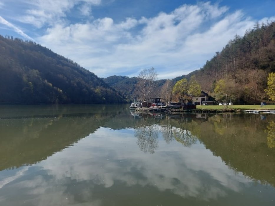
Start in Aigen-Schlägl im Böhmerwald - bergauf nach Rohrbach und dann auf der Tannberger Landesstraße entlang der Kleinen Mühl hinunter ins Donautal. Der Donau entlang bis Ottensheim.

Galerie du tour

Carte du tour et altitude

  • Open Street Map
  • Google
Minimum height 252 m Maximum height 677 m Vue de détail

More about the tour author

rail-com

Commentaires

Mit der Bahn von Linz nach Aigen-Schlägl.

Tracks GPS

Trackpoints
  • GPX / Garmin Map Source (gpx) download
  • TCX / Garmin Training Center® (tcx) download
  • CRS / Garmin Training Center® (crs) download
  • Google Earth (kml) download
  • G7ToWin (g7t) download
  • TTQV (trk) download
  • Overlay (ovl) download
  • Fugawi (txt) download
  • Kompass (DAV) Track (tk) download
  • Feuille de tours (pdf) download
  • Original file of the author (gpx) download

More about the tour author

rail-com

Share track
Add to my favorites
Remove from my favorites
Edit tags
My score
Rate
Tour: Flußradwege Oberösterreich Tour 8 Kleine Mühltour R26
Cat.: Touring vélo
Longueur: 64,4 km
Evaluated on:
Durée:
Day(s)
Hour(s)
Minute(s)
Evaluation: Paysage Aspect amusement Condition Technique