Login

Login oublié ?

Cookies have to be accepted!
Your browser's cookie functionality is disabled. Please enable this functionality.

Not a member yet?

Register now
Login

Available for registred users only

Log in to use this feature.

Login oublié ?

Cookies have to be accepted!
Your browser's cookie functionality is disabled. Please enable this functionality.

Not a member yet?

Register now
Filter
Catégories
Advanced filters
  • Longueur (km)
  • Altimètre
Enregistrer le filtre Reset filter

TrackRank

QRCode

Technical data

Longueur14,0 km Altimètre960 m Way down932 m Durée05:30 h:m Date28.03.2024
Evaluations Author Paysage Aspect amusement Condition Technique

Statistiques

139 Vues Evaluations 0 Téléchargements Moyenne
Rate
  • Feuille de tours
  • Arrivée
  • Téléchargements

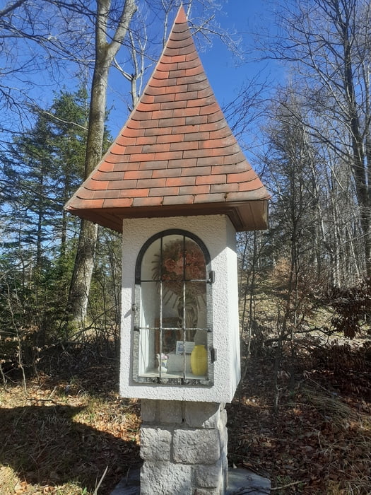
Vom Marktplatz in Weyer hinauf zur Pfarrkirche und weiter der Beschilderung Rapoldeck folgen. Durch ein kurzes Waldstück und ab der Kreuzung am Gratweg 84 hinauf. Der nach rechts abbiegende Weg wird der Rückweg sein. Steil geht es durch den Wald hinauf, bei einer Kapelle ist der Gipfel nicht mehr weit.

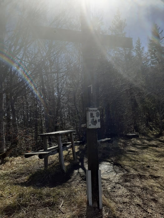
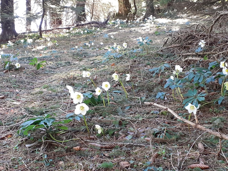
Dem Kammverlauf weiter folgend bis zum Beginn des Gipfelanstiegs zum Schrabachauer Kogel. Die letzten Meter zum Gipfel sind felsig. Zurück zur Lichtung und dem Panoramaweg Sepp Larch folgen. Bei der Forstraße wird es etwas ungenau: Bei einer kleinen Jagdhütte findet man ein großes Stoamandl. Hier beginnt ein Steig, der hinunter zu einem Hochsitz und links hinaus zu einer breiten Forststraße führt. Auf dieser rechts abwärts bis zu einer Kreuzung. Links duch den Wald teils steil zu einer weiteren Forststraße. Die Loibner Wiese wird passiert bis zu einer Kreuzung. Hier kurz links und dann rechts wieder auf dem Panoramaweg hinaus zur Kreuzung Pöller. Auf dem Anstiegsweg zurück nach Weyer.

Galerie du tour

Carte du tour et altitude

  • Open Street Map
  • Google
Minimum height 423 m Maximum height 1331 m Vue de détail

More about the tour author

JoHangler
Member since 2013

Send private message

Commentaires

Auf der Bundesstraße von Steyr über Großraming nach Weyer. Parkplätze nahe beim Bahnhof oder oben vor der Pfarrkirche.

Tracks GPS

Trackpoints
  • GPX / Garmin Map Source (gpx) download
  • TCX / Garmin Training Center® (tcx) download
  • CRS / Garmin Training Center® (crs) download
  • Google Earth (kml) download
  • G7ToWin (g7t) download
  • TTQV (trk) download
  • Overlay (ovl) download
  • Fugawi (txt) download
  • Kompass (DAV) Track (tk) download
  • Feuille de tours (pdf) download
  • Original file of the author (gpx) download

More about the tour author

JoHangler
Member since 2013

Send private message
Share track
Add to my favorites
Remove from my favorites
Edit tags
My score
Rate
Tour: Rapoldeck und Schrabachauer Kogel
Cat.: Randonnées
Longueur: 14,0 km
Evaluated on:
Durée:
Day(s)
Hour(s)
Minute(s)
Evaluation: Paysage Aspect amusement Condition Technique