


Ilirska Bistrica-Stražica (ko zapustimo kolovoz pod Tuščakom, nas do vrha Milanke čaka približno 600 metrov in 150 višincev potiskanja po slabo shojeni stezi)-Milanka-(steza med Milanko in Volovjo rebrijo je v celoti prevozna)-Volovja reber-Bele ovce (pod Belimi ovcami zapustimo kolovoz in se povzpnemo po solidno shojeni pešpoti; čaka nas okoli 400 metrov potiskanja, premagati bo treba 100 višincev)-Velika Milanja-Alpski zid-Rapalska meja-Štanga-Štanga trail-Položek-Kozlek trail-Sv.Ahac (zadnjih 150 metrov pred vrhom je strmina prevelika in bo kolo potrebno potiskati)-Ahac trail-Črne njive trail-Gradina Sušec DH (izredno strmo!!!)-Gradina-Ilirska Bistrica
Further information at
https://mtb-itd.si/Einschränkungen
This tour has a carry or push section on 1.15 kilometers
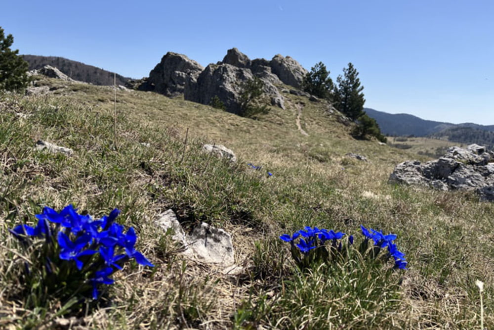
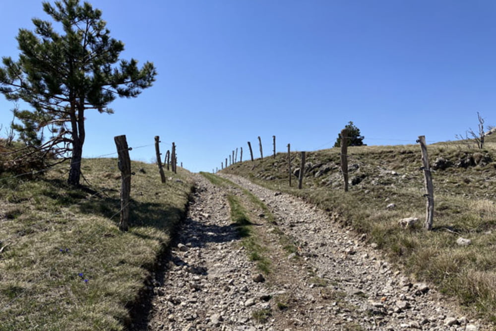
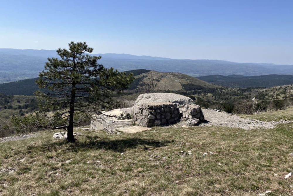
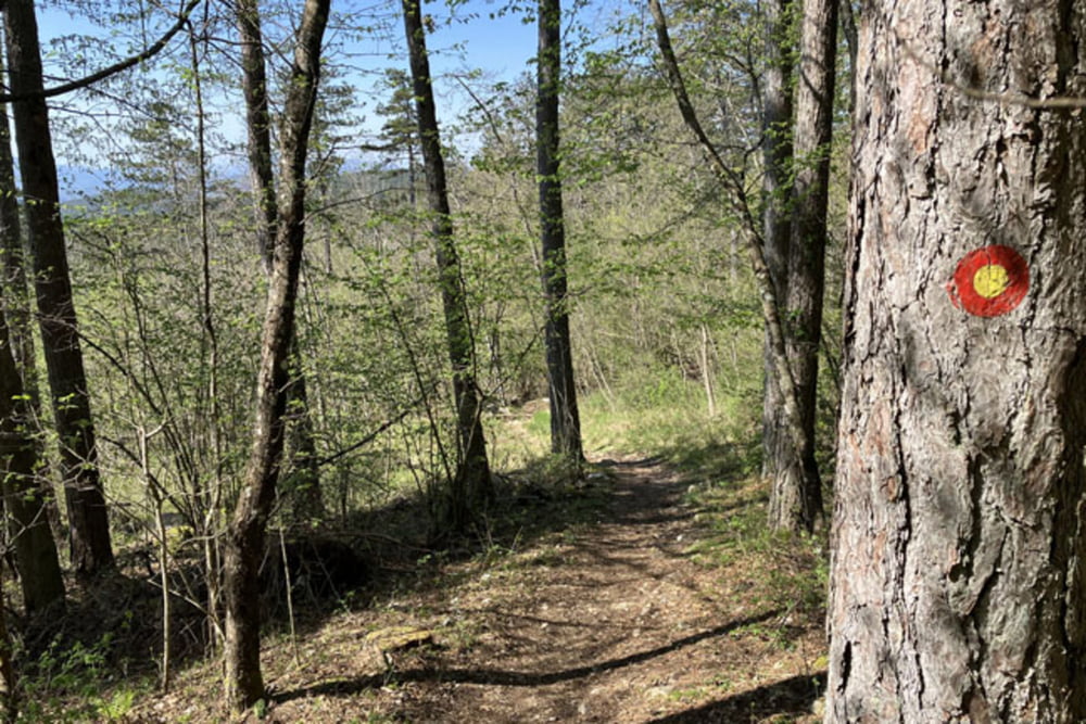
Galerie du tour
Carte du tour et altitude
Minimum height 415 m
Maximum height 1091 m
More about the tour author
|
|
andrejno |
Commentaires

More about the tour author
|
|
andrejno |
Add to my favorites
Remove from my favorites
Edit tags
Open track
My score
Rate