Login

Login oublié ?

Cookies have to be accepted!
Your browser's cookie functionality is disabled. Please enable this functionality.

Not a member yet?

Register now
Login

Available for registred users only

Log in to use this feature.

Login oublié ?

Cookies have to be accepted!
Your browser's cookie functionality is disabled. Please enable this functionality.

Not a member yet?

Register now
Filter
Catégories
Advanced filters
  • Longueur (km)
  • Altimètre
Enregistrer le filtre Reset filter

TrackRank

QRCode

Technical data

Longueur25,4 km Altimètre1075 m Way down957 m Durée07:00 h:m Date09.10.2008
Evaluations Author Paysage Aspect amusement Condition Technique

Statistiques

464 Vues Evaluations 135 Téléchargements Moyenne
Rate
  • Feuille de tours
  • Arrivée
  • Téléchargements
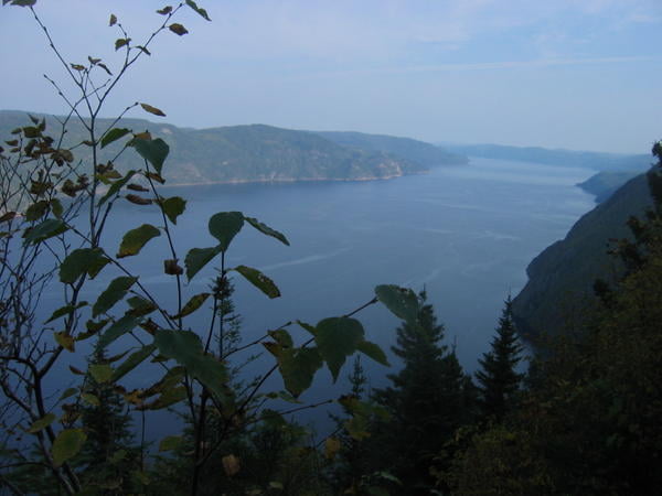
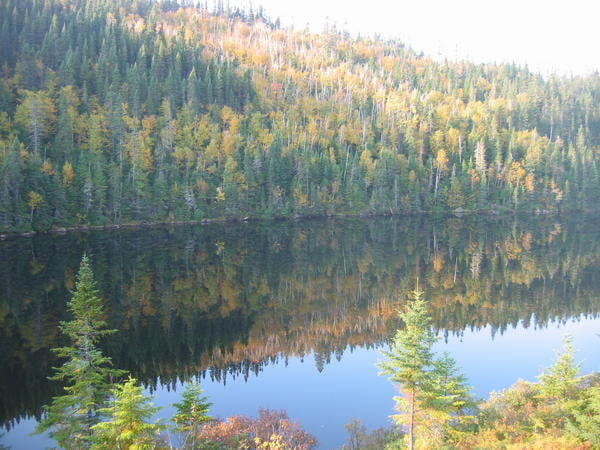
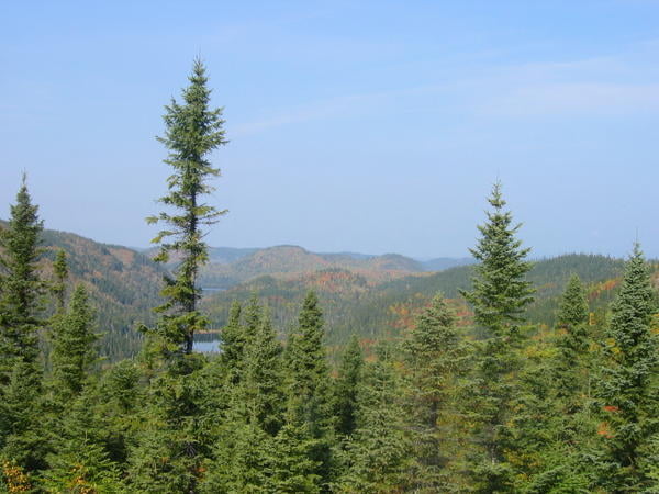
Départ de Riviere Éternité dans le parc du Saguenay. Sentier recommandé sur 2 ou 3 jours. attention sentier linéaire.

Further information at

http://sepaq.com/pq/sag/fr/

Galerie du tour

Carte du tour et altitude

  • Open Street Map
  • Google
Minimum height -15 m Maximum height 472 m Vue de détail

More about the tour author

arnaudnono
Member since 2008

Send private message

Commentaires

Arrivée Anse St Jean, prévoir 2 véhicules (sentier Linéaire)

Tracks GPS

Trackpoints
  • GPX / Garmin Map Source (gpx) download
  • TCX / Garmin Training Center® (tcx) download
  • CRS / Garmin Training Center® (crs) download
  • Google Earth (kml) download
  • G7ToWin (g7t) download
  • TTQV (trk) download
  • Overlay (ovl) download
  • Fugawi (txt) download
  • Kompass (DAV) Track (tk) download
  • Feuille de tours (pdf) download
  • Original file of the author (gpx) download

More about the tour author

arnaudnono
Member since 2008

Send private message
Share track
Add to my favorites
Remove from my favorites
Edit tags
My score
Rate
Tour: Sentier des Caps
Cat.: Randonnées
Longueur: 25,4 km
Evaluated on:
Durée:
Day(s)
Hour(s)
Minute(s)
Evaluation: Paysage Aspect amusement Condition Technique