Login

Login oublié ?

Cookies have to be accepted!
Your browser's cookie functionality is disabled. Please enable this functionality.

Not a member yet?

Register now
Login

Available for registred users only

Log in to use this feature.

Login oublié ?

Cookies have to be accepted!
Your browser's cookie functionality is disabled. Please enable this functionality.

Not a member yet?

Register now
Filter
Catégories
Advanced filters
  • Longueur (km)
  • Altimètre
Enregistrer le filtre Reset filter

TrackRank

QRCode

Technical data

Longueur14,9 km Altimètre224 m Way down228 m Durée01:15 h:m Date01.03.2009
Evaluations Author Paysage Aspect amusement Condition Technique

Statistiques

96 Vues Evaluations 39 Téléchargements Moyenne
Rate
  • Feuille de tours
  • Arrivée
  • Téléchargements
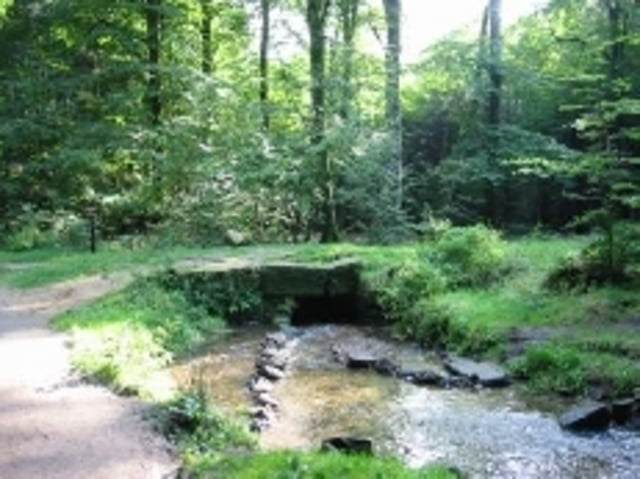
Trail durch viel Tannenwald aber mit schwerem tiefem Tannenwaldboden, welcher an die Kondition geht
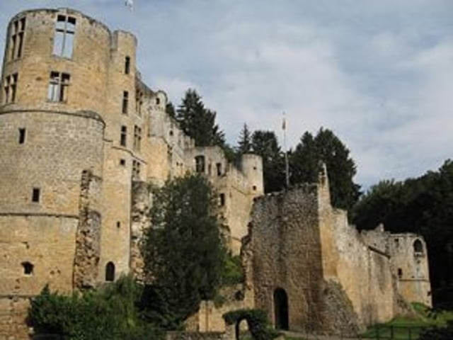
Galerie du tour

Carte du tour et altitude

  • Open Street Map
  • Google
Minimum height 319 m Maximum height 423 m Vue de détail

More about the tour author

Beforter
Member since 2009

Send private message

Commentaires

Ab Beaufort beim Schloss und dann Richtung Ritterpfad

Tracks GPS

Trackpoints
  • GPX / Garmin Map Source (gpx) download
  • TCX / Garmin Training Center® (tcx) download
  • CRS / Garmin Training Center® (crs) download
  • Google Earth (kml) download
  • G7ToWin (g7t) download
  • TTQV (trk) download
  • Overlay (ovl) download
  • Fugawi (txt) download
  • Kompass (DAV) Track (tk) download
  • Feuille de tours (pdf) download
  • Original file of the author (gpx) download

More about the tour author

Beforter
Member since 2009

Send private message
Share track
Add to my favorites
Remove from my favorites
Edit tags
My score
Rate
Tour: Beaufort 14km 300hm II
Cat.: Mountainbike
Longueur: 14,9 km
Evaluated on:
Durée:
Day(s)
Hour(s)
Minute(s)
Evaluation: Paysage Aspect amusement Condition Technique