Login

Login oublié ?

Cookies have to be accepted!
Your browser's cookie functionality is disabled. Please enable this functionality.

Not a member yet?

Register now
Login

Available for registred users only

Log in to use this feature.

Login oublié ?

Cookies have to be accepted!
Your browser's cookie functionality is disabled. Please enable this functionality.

Not a member yet?

Register now
Filter
Catégories
Advanced filters
  • Longueur (km)
  • Altimètre
Enregistrer le filtre Reset filter

TrackRank

QRCode

Technical data

Longueur64,6 km Altimètre1240 m Way down1240 m Durée00:00 h:m Date30.06.2009
Evaluations Author Paysage Aspect amusement Condition Technique

Statistiques

1378 Vues Evaluations 263 Téléchargements Moyenne
Rate
  • Feuille de tours
  • Arrivée
  • Téléchargements

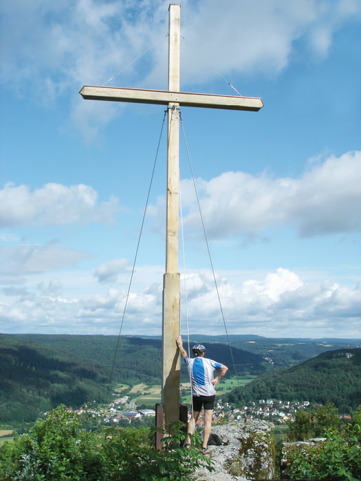
Start und Ziel ist Ebermannstadt. Gute Kondition fordern vor allem die beiden ersten Berge. Im Juli war die Strecke überwiegend trocken, nur geringe Passagen schlammig. Wunderbare Ausblicke auf die Fränkische Schweiz genießt man auf dem Zuckerhut, Kreuzberg und Hummerstein. Für die Downhill Freunde bietet die Abfahrt am Engelhardsberg den meisten Spaßfaktor.

Galerie du tour

Carte du tour et altitude

  • Open Street Map
  • Google
Minimum height 286 m Maximum height 518 m Vue de détail

More about the tour author

brauh2002
Member since 2008

Send private message

Commentaires

Tracks GPS

Trackpoints
  • GPX / Garmin Map Source (gpx) download
  • TCX / Garmin Training Center® (tcx) download
  • CRS / Garmin Training Center® (crs) download
  • Google Earth (kml) download
  • G7ToWin (g7t) download
  • TTQV (trk) download
  • Overlay (ovl) download
  • Fugawi (txt) download
  • Kompass (DAV) Track (tk) download
  • Feuille de tours (pdf) download
  • Original file of the author (gpx) download

More about the tour author

brauh2002
Member since 2008

Send private message
Share track
Add to my favorites
Remove from my favorites
Edit tags
My score
Rate
Tour: Fränkische Schweiz Tour - Ebermannstadt
Cat.: Mountainbike
Longueur: 64,6 km
Evaluated on:
Durée:
Day(s)
Hour(s)
Minute(s)
Evaluation: Paysage Aspect amusement Condition Technique