Login

Login oublié ?

Cookies have to be accepted!
Your browser's cookie functionality is disabled. Please enable this functionality.

Not a member yet?

Register now
Login

Available for registred users only

Log in to use this feature.

Login oublié ?

Cookies have to be accepted!
Your browser's cookie functionality is disabled. Please enable this functionality.

Not a member yet?

Register now
Filter
Catégories
Advanced filters
  • Longueur (km)
  • Altimètre
Enregistrer le filtre Reset filter

TrackRank

QRCode

Technical data

Longueur37,9 km Altimètre210 m Way down207 m Durée02:30 h:m Date15.08.2009
Evaluations Author Paysage Aspect amusement Condition Technique

Statistiques

912 Vues Evaluations 41 Téléchargements Moyenne
Rate
  • Feuille de tours
  • Arrivée
  • Téléchargements

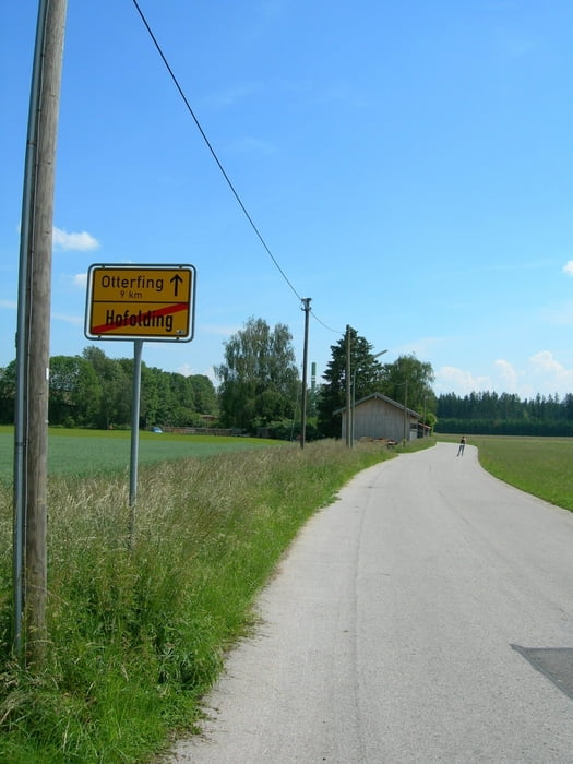
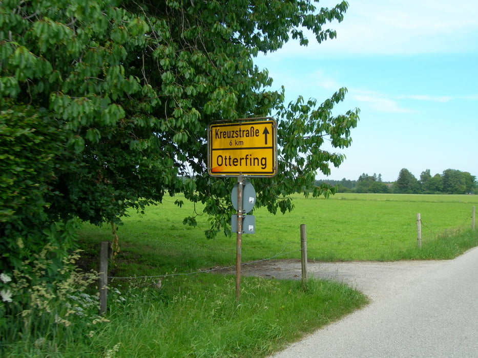
Dürnhaar-Hofolding-Otterfing-Kreuzstrasse-Aying-Egmating-Dürnhaar.

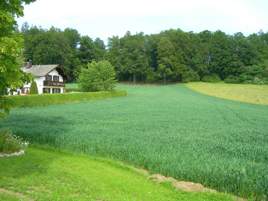
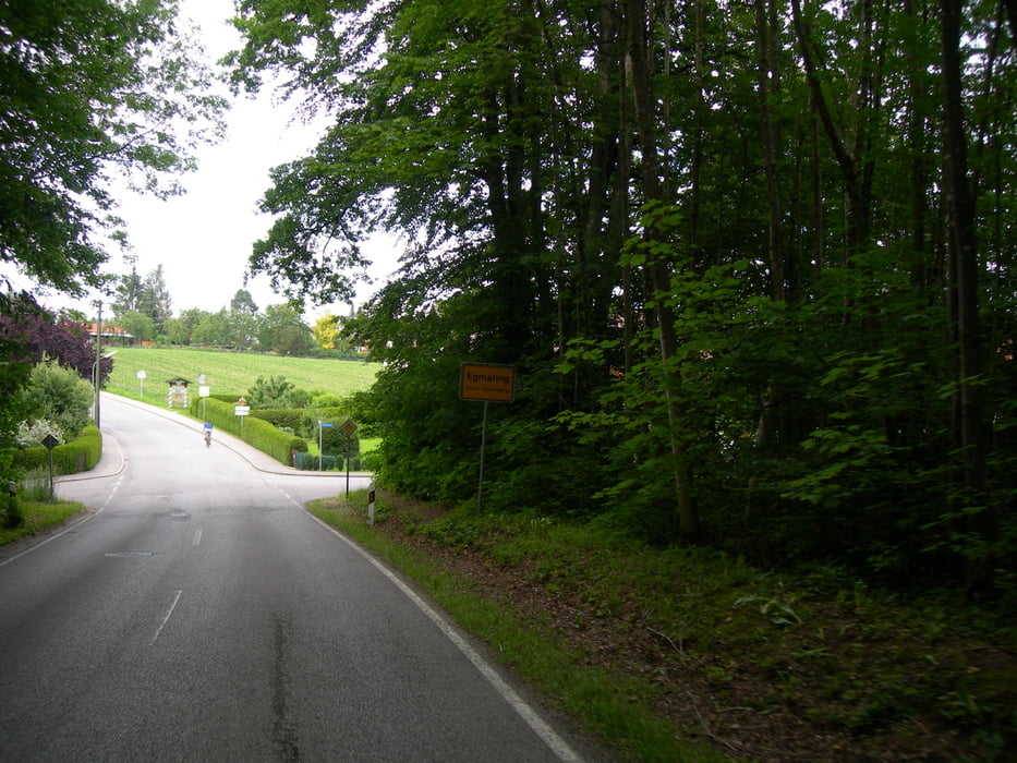
Anfang/Ende der Strecke ist bei der S-Bahn Stationen Dürnhaar, Otterfing oder Aying. Die Strecke verläuft durch überwiegend wenig befahrene Strassen. Zwischen Aying und Egmating der Verkehr ist etwas intensiver, also, vorsichtig fahren. Dieser Abschnitt ist nicht für Anfänger. Belag im Durchschnitt ist gut, aber in Paar Löcher im Asphalt gibt es schon. Sehr schöne Biergärten in Kreuzstrasse und in Aying. Steile Abfahrt in Egmating. Der letzte Abschnitt (Egmating-Dürnhaar) ist eine echte Belohnung – schön, breit, gerade und mit sehr gutem Asphalt.

Galerie du tour

Carte du tour et altitude

  • Open Street Map
  • Google
Minimum height 594 m Maximum height 680 m Vue de détail

More about the tour author

maklaj
Member since 2009

Send private message

Commentaires

S-Bahn Station Dürnhaar.

Tracks GPS

Trackpoints
  • GPX / Garmin Map Source (gpx) download
  • TCX / Garmin Training Center® (tcx) download
  • CRS / Garmin Training Center® (crs) download
  • Google Earth (kml) download
  • G7ToWin (g7t) download
  • TTQV (trk) download
  • Overlay (ovl) download
  • Fugawi (txt) download
  • Kompass (DAV) Track (tk) download
  • Feuille de tours (pdf) download
  • Original file of the author (gpx) download

More about the tour author

maklaj
Member since 2009

Send private message
Share track
Add to my favorites
Remove from my favorites
Edit tags
My score
Rate
Tour: Aying Runde
Cat.: Patins à roues alignées
Longueur: 37,9 km
Evaluated on:
Durée:
Day(s)
Hour(s)
Minute(s)
Evaluation: Paysage Aspect amusement Condition Technique