Login

Login oublié ?

Cookies have to be accepted!
Your browser's cookie functionality is disabled. Please enable this functionality.

Not a member yet?

Register now
Login

Available for registred users only

Log in to use this feature.

Login oublié ?

Cookies have to be accepted!
Your browser's cookie functionality is disabled. Please enable this functionality.

Not a member yet?

Register now
Filter
Catégories
Advanced filters
  • Longueur (km)
  • Altimètre
Enregistrer le filtre Reset filter

TrackRank

QRCode

Technical data

Longueur13,0 km Altimètre376 m Way down980 m Durée03:45 h:m Date07.07.2010
Evaluations Author Paysage Aspect amusement Condition Technique

Statistiques

523 Vues Evaluations 69 Téléchargements Moyenne
Rate
  • Feuille de tours
  • Arrivée
  • Téléchargements

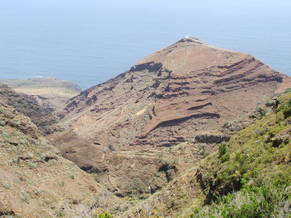
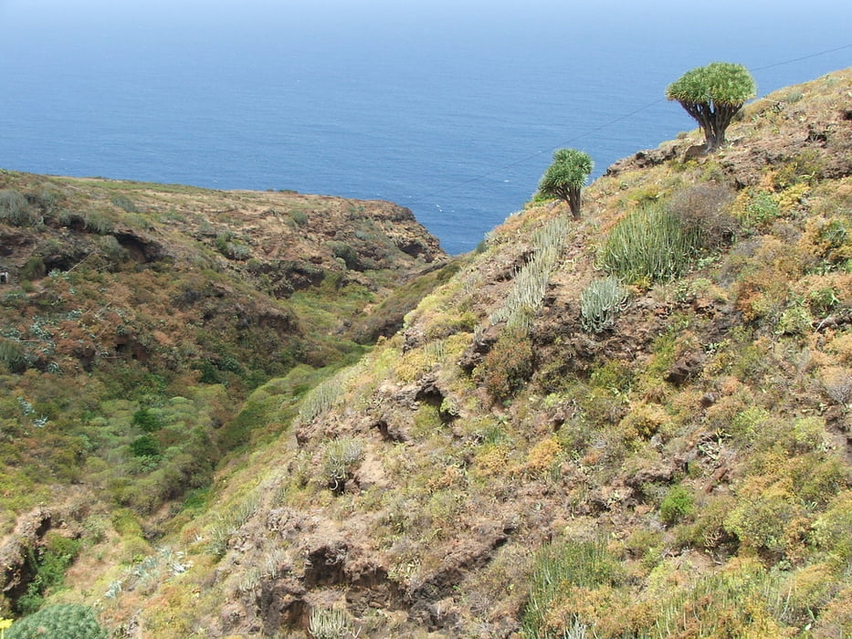
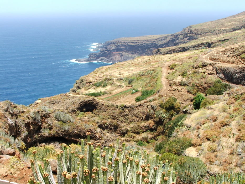
 Wegverlauf: La Zarza - Caldera de Agua - Don Pedro - Juan Adalid - El Palmar - Santo Domingo


Galerie du tour

Carte du tour et altitude

  • Open Street Map
  • Google
Minimum height 242 m Maximum height 977 m Vue de détail

More about the tour author

lothardomnik
Member since 2009

Send private message

Commentaires

Direkte Verbindung zwischen End- und Startpunkt der Wanderung mit Buslinie 2.

Tracks GPS

Trackpoints
  • GPX / Garmin Map Source (gpx) download
  • TCX / Garmin Training Center® (tcx) download
  • CRS / Garmin Training Center® (crs) download
  • Google Earth (kml) download
  • G7ToWin (g7t) download
  • TTQV (trk) download
  • Overlay (ovl) download
  • Fugawi (txt) download
  • Kompass (DAV) Track (tk) download
  • Feuille de tours (pdf) download
  • Original file of the author (gpx) download

More about the tour author

lothardomnik
Member since 2009

Send private message
Share track
Add to my favorites
Remove from my favorites
Edit tags
My score
Rate
Tour: La Palma: La Zarza - Santo Domingo
Cat.: Tour en montagne
Longueur: 13,0 km
Evaluated on:
Durée:
Day(s)
Hour(s)
Minute(s)
Evaluation: Paysage Aspect amusement Condition Technique