Login

Login oublié ?

Cookies have to be accepted!
Your browser's cookie functionality is disabled. Please enable this functionality.

Not a member yet?

Register now
Login

Available for registred users only

Log in to use this feature.

Login oublié ?

Cookies have to be accepted!
Your browser's cookie functionality is disabled. Please enable this functionality.

Not a member yet?

Register now
Filter
Catégories
Advanced filters
  • Longueur (km)
  • Altimètre
Enregistrer le filtre Reset filter

TrackRank

QRCode

Technical data

Longueur622,1 km Altimètre3339 m Way down3430 m Durée00:00 h:m Date27.07.2010
Evaluations Author Paysage Aspect amusement Condition Technique

Statistiques

1053 Vues Evaluations 198 Téléchargements Moyenne
Rate
  • Feuille de tours
  • Arrivée
  • Téléchargements

Along the river Loire from Orléans in the east to Nantes in the west.

The tour mostly follows the "Loire à Velo" cycleway with some detours at which we found some "offroad tracks" nicer or where we wanted to reach a B&B or castles not directly on the route itself.

The gps-track itself is not required on your GPS equipment during the ride, but it supports the planning and helps if you want to find back to the "Loire à Velo" track after visiting something some kilometers aside of the Loire itself.

The complete path is very well equiped with signs and even if we found three (on about 600 km!) crossings without a sign the old rule "no sign means straight ahead" always helps.

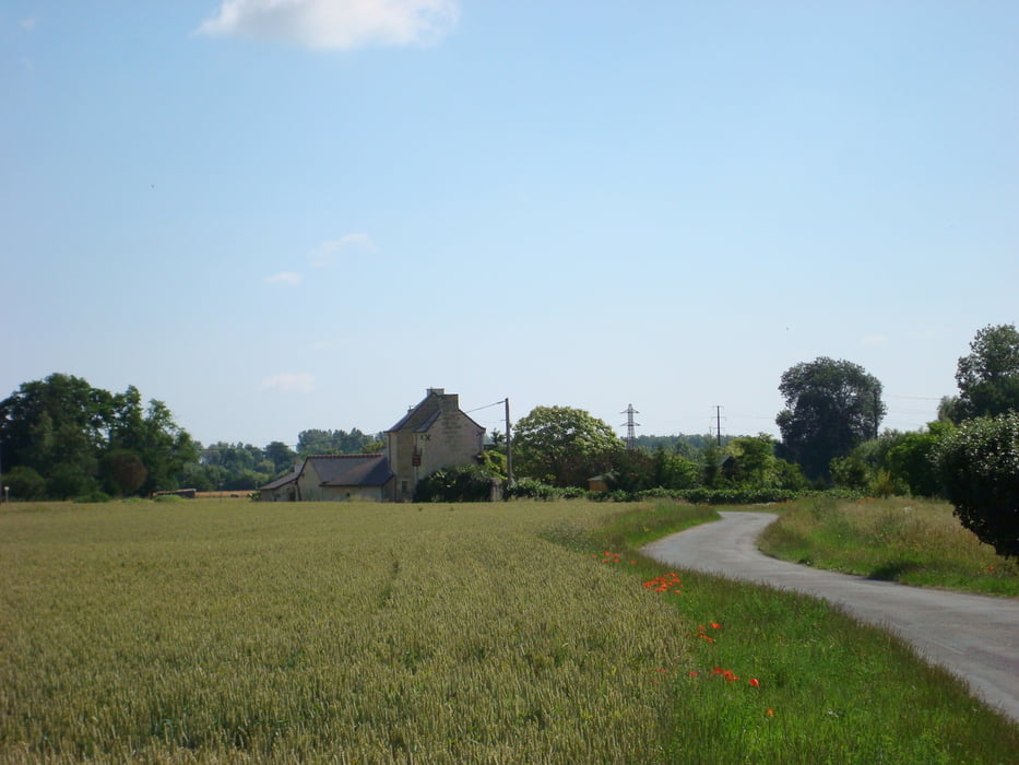
 The path is overall flat and easy to ride - except one uphill of 18% (!), which is a single exception.

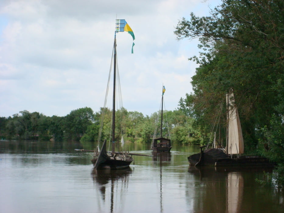
The landscape is awesome due to the fact that the French build a train along the river in the mid 1800s which "killed" the shipping on the Loire and mostly avoided the destruction of the bed of the Loire - okay, they build their first nuclear power plant at the Loire, but everybody is allowed to do mistakes ... ;o)

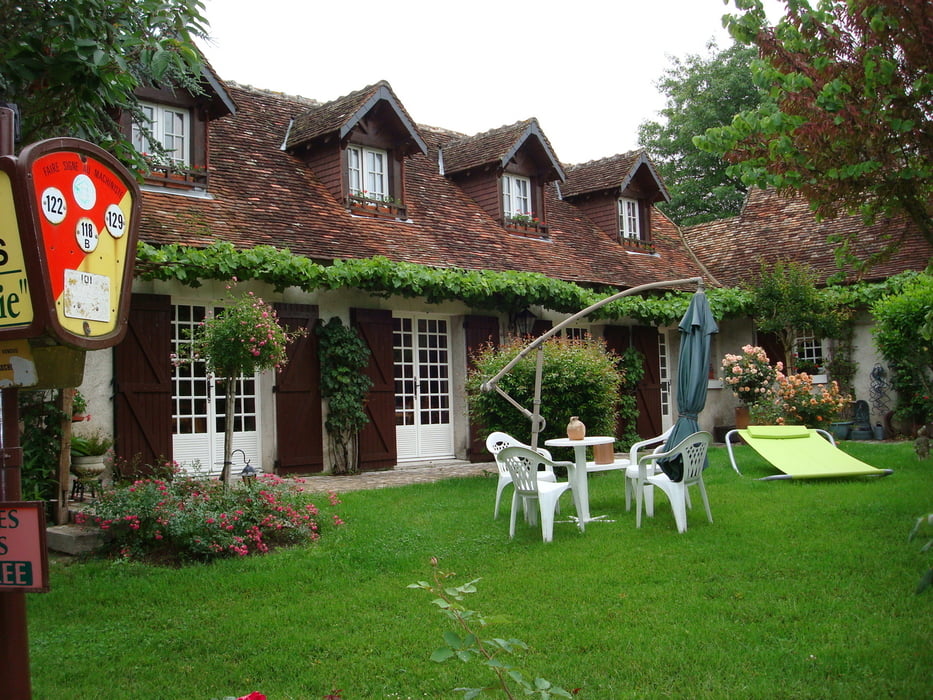
I recommend to stay in B&B (French: chambre d`hôte) which connects you to the people and gives you insights. Some of them offer also "table d`hôte" which means you can eat with them in the evening.
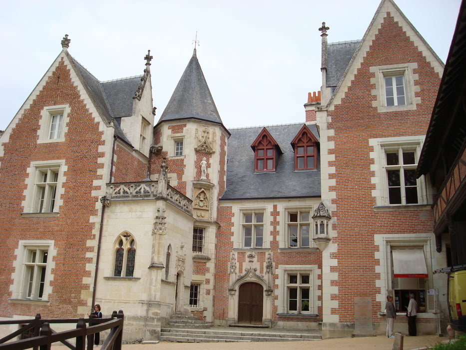
Galerie du tour

Carte du tour et altitude

  • Open Street Map
  • Google
Minimum height -31 m Maximum height 133 m Vue de détail

More about the tour author

BIBOBerlin
Member since 2008

Send private message

Commentaires

Orléans is easy to access via train, but if you want to take your bike in the train it can be a mess in the TGV (make it small and packing and wrapping). The TER trains or other regionals offer separate place for the bikes w/o taking out the wheels or similar.

We asked our first hotel in Meung-sur-Loire near Orléans for a parking place for our car throughout the journey and took our bikes with our car to the start.

From Nantes to Orléans it was easy to use the train which goes every two hours in direct. Tickets should be bought one day ahead.

Tracks GPS

Trackpoints
  • GPX / Garmin Map Source (gpx) download
  • TCX / Garmin Training Center® (tcx) download
  • CRS / Garmin Training Center® (crs) download
  • Google Earth (kml) download
  • G7ToWin (g7t) download
  • TTQV (trk) download
  • Overlay (ovl) download
  • Fugawi (txt) download
  • Kompass (DAV) Track (tk) download
  • Feuille de tours (pdf) download
  • Original file of the author (gpx) download

More about the tour author

BIBOBerlin
Member since 2008

Send private message
Share track
Add to my favorites
Remove from my favorites
Edit tags
My score
Rate
Tour: Loire à Velo
Cat.: Trekkingbike
Longueur: 622,1 km
Evaluated on:
Durée:
Day(s)
Hour(s)
Minute(s)
Evaluation: Paysage Aspect amusement Condition Technique