

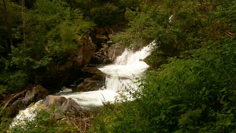

Date: August 5, 2010
Start: 1200 m (Rabischschlucht entrance)
Finish: 660 m (Obervellach village)
Highest point: 1200 m (Rabischschlucht entrance)
Lowest point: 660 m
Total ascent: 100 m
Total descent: 560 m
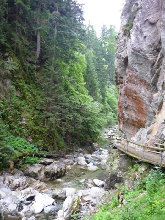
Non slippery shoes recommended!
More information:
http://www.nationalpark-hohetauern.at/de.aspx/Articles/View/347
Further information at
http://www.beepee.hu/v/ausztria2010/heiligenblut/schlucht/Galerie du tour

Carte du tour et altitude
Minimum height 677 m
Maximum height 1223 m
More about the tour author
|
|
beepee |
Commentaires

More about the tour author
|
|
beepee |
Add to my favorites
Remove from my favorites
Edit tags
Open track


My score
Rate