Login

Login oublié ?

Cookies have to be accepted!
Your browser's cookie functionality is disabled. Please enable this functionality.

Not a member yet?

Register now
Login

Available for registred users only

Log in to use this feature.

Login oublié ?

Cookies have to be accepted!
Your browser's cookie functionality is disabled. Please enable this functionality.

Not a member yet?

Register now
Filter
Catégories
Advanced filters
  • Longueur (km)
  • Altimètre
Enregistrer le filtre Reset filter

TrackRank

QRCode

Technical data

Longueur30,6 km Altimètre236 m Way down-442 m Durée01:00 h:m Date25.08.2002
Evaluations Author Paysage Aspect amusement Condition Technique

Statistiques

2254 Vues Evaluations 243 Téléchargements Moyenne
Rate
  • Feuille de tours
  • Arrivée
  • Téléchargements
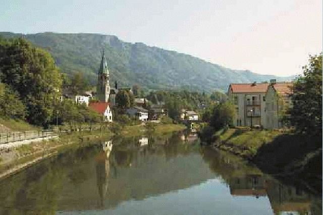
Gemütlich rollt man vom idyllischen Örtchen Reichraming im Ennstal dem Ramingbach bei kaum merklicher Steigung entlang. Anfangs noch auf Asphalt, später auf Schotter, kann man das wunderschöne Ramingtal genießen. Nach cirka 15km kommt man an der großen Klause an.
Auf der Rückfahrt kann man sich bei Badewetter schon mal ein nettes Plätzchen auf einer der unzähligen Schotterbänke am Bach suchen und einen Sprung ins (zugegebenermaßen eiskalte) Wasser wagen. Dermaßen erfrischt, rollt man mühelos nach Reichraming zurück.

Further information at

http://www.reichraming.at

Galerie du tour

Carte du tour et altitude

  • Open Street Map
  • Google
Minimum height 212 m Maximum height 514 m Vue de détail

More about the tour author

Dietmar
Member since 2001

Send private message

Commentaires

Von Steyr ins Ennstal,  ennsaufwärts fahren. In Reichraming von der Bundesstraße rechts ins Zentrum abbiegen. Startpunkt ist an einem der Parkplätze an der Ortsausfahrt von Reichraming.

Tracks GPS

Trackpoints
  • GPX / Garmin Map Source (gpx) download
  • TCX / Garmin Training Center® (tcx) download
  • CRS / Garmin Training Center® (crs) download
  • Google Earth (kml) download
  • G7ToWin (g7t) download
  • TTQV (trk) download
  • Overlay (ovl) download
  • Fugawi (txt) download
  • Kompass (DAV) Track (tk) download
  • Feuille de tours (pdf) download

More about the tour author

Dietmar
Member since 2001

Send private message
Share track
Add to my favorites
Remove from my favorites
Edit tags
My score
Rate
Tour: Große Klause
Cat.: Mountainbike
Longueur: 30,6 km
Evaluated on:
Durée:
Day(s)
Hour(s)
Minute(s)
Evaluation: Paysage Aspect amusement Condition Technique