Login

Login oublié ?

Cookies have to be accepted!
Your browser's cookie functionality is disabled. Please enable this functionality.

Not a member yet?

Register now
Login

Available for registred users only

Log in to use this feature.

Login oublié ?

Cookies have to be accepted!
Your browser's cookie functionality is disabled. Please enable this functionality.

Not a member yet?

Register now
Filter
Catégories
Advanced filters
  • Longueur (km)
  • Altimètre
Enregistrer le filtre Reset filter

TrackRank

QRCode

Technical data

Longueur14,0 km Altimètre450 m Way down451 m Durée03:30 h:m Date24.10.2010
Evaluations Author Paysage Aspect amusement Condition Technique

Statistiques

363 Vues Evaluations 50 Téléchargements Moyenne
Rate
  • Feuille de tours
  • Arrivée
  • Téléchargements

Von Igalo über die Promenade nach Herceg Novi, durch die Altstadt und weiter aufsteigend bis auf 300 Höhenmeter. Auf der Fahrstraße nach Westen und dann, weiter ansteigend, wird der Mijalj Brdo umrundet. Abstieg nach Igalo.
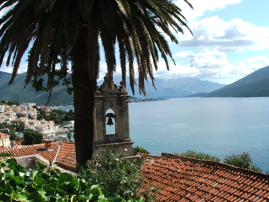
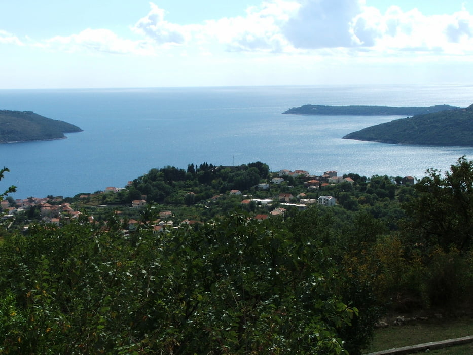
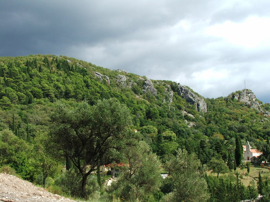
Galerie du tour

Carte du tour et altitude

  • Open Street Map
  • Google
Minimum height 5 m Maximum height 447 m Vue de détail

More about the tour author

lothardomnik
Member since 2009

Send private message

Commentaires

Tracks GPS

Trackpoints
  • GPX / Garmin Map Source (gpx) download
  • TCX / Garmin Training Center® (tcx) download
  • CRS / Garmin Training Center® (crs) download
  • Google Earth (kml) download
  • G7ToWin (g7t) download
  • TTQV (trk) download
  • Overlay (ovl) download
  • Fugawi (txt) download
  • Kompass (DAV) Track (tk) download
  • Feuille de tours (pdf) download
  • Original file of the author (gpx) download

More about the tour author

lothardomnik
Member since 2009

Send private message
Share track
Add to my favorites
Remove from my favorites
Edit tags
My score
Rate
Tour: Montenegro: Herceg Novi
Cat.: Tour en montagne
Longueur: 14,0 km
Evaluated on:
Durée:
Day(s)
Hour(s)
Minute(s)
Evaluation: Paysage Aspect amusement Condition Technique