Login

Login oublié ?

Cookies have to be accepted!
Your browser's cookie functionality is disabled. Please enable this functionality.

Not a member yet?

Register now
Login

Available for registred users only

Log in to use this feature.

Login oublié ?

Cookies have to be accepted!
Your browser's cookie functionality is disabled. Please enable this functionality.

Not a member yet?

Register now
Filter
Catégories
Advanced filters
  • Longueur (km)
  • Altimètre
Enregistrer le filtre Reset filter

TrackRank

QRCode

Technical data

Longueur1.058,2 km Altimètre16396 m Way down16952 m Durée23 days 0 h Date27.02.2011
Evaluations Author Paysage Aspect amusement Condition Technique

Statistiques

825 Vues Evaluations 51 Téléchargements Moyenne
Rate
  • Feuille de tours
  • Arrivée
  • Téléchargements

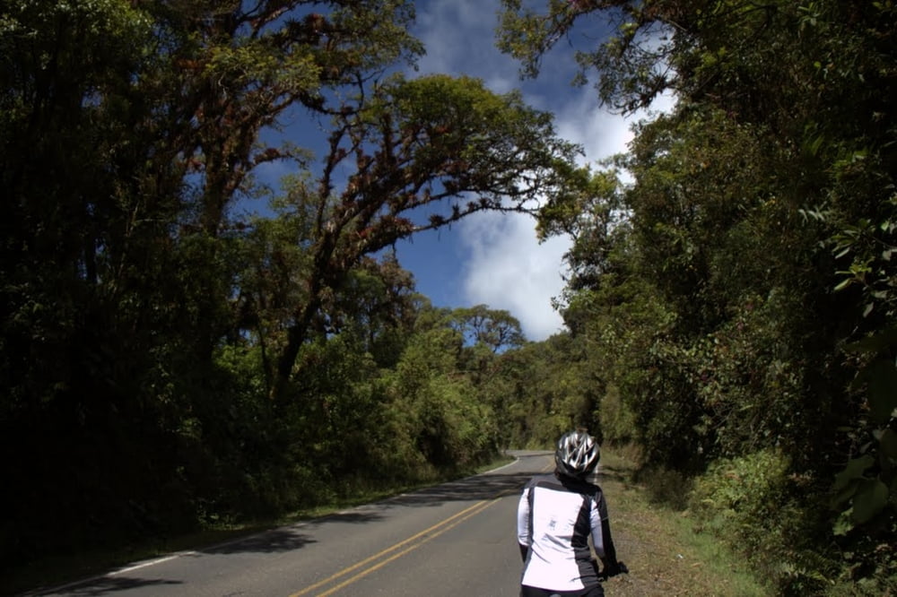
Die Tour wurde mit Gepäck durchgeführt. Übernachtet wurde in günstigen Motels, "Cabinas" und Mittelklassehotels. Start Alajuela- Poas - Arenal - Nicoya Halbinsel - Cara NP - Miguel Antonion NP - Pazifikküste bis Dominical - San Isidro - via CN2 durch die Cordilliera Cental - Cartago - Orosital - Turriallba - Rafting Pacuare - Vulkan Irazu - Cartago - Alajuela.

Die Straßen sind teilweise sehr steil ! Versorgungstechnisch gibt es keinerlei Probleme. Vielbefahrene Strecken wurden gemieden. Die CN2 (interamericana wurde an einem Sonntag befahren - nahezu keine Lkw).

Das Rad sollte gute Bremsen haben, da es genauso steil bergab wie bergauf geht.

Further information at

http://www.grobstollig.de

Galerie du tour

Carte du tour et altitude

  • Open Street Map
  • Google
Minimum height -26 m 
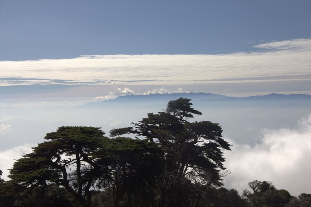
Maximum height 3354 m Vue de détail

More about the tour author

eisenbereifter3
Member since 2010

Send private message

Commentaires

Günstigster Fahrradtransport derzeit :Continental Airlines (100 D ollar pro Rad - pro Strecke)

Tracks GPS

Trackpoints
  • GPX / Garmin Map Source (gpx) download
  • TCX / Garmin Training Center® (tcx) download
  • CRS / Garmin Training Center® (crs) download
  • Google Earth (kml) download
  • G7ToWin (g7t) download
  • TTQV (trk) download
  • Overlay (ovl) download
  • Fugawi (txt) download
  • Kompass (DAV) Track (tk) download
  • Feuille de tours (pdf) download
  • Original file of the author (gpx) download

More about the tour author

eisenbereifter3
Member since 2010

Send private message
Share track
Add to my favorites
Remove from my favorites
Edit tags
My score
Rate
Tour: Costa Rica 4Wochentour mit vielen POIs
Cat.: Mountainbike
Longueur: 1.058,2 km
Evaluated on:
Durée:
Day(s)
Hour(s)
Minute(s)
Evaluation: Paysage Aspect amusement Condition Technique