Login

Login oublié ?

Cookies have to be accepted!
Your browser's cookie functionality is disabled. Please enable this functionality.

Not a member yet?

Register now
Login

Available for registred users only

Log in to use this feature.

Login oublié ?

Cookies have to be accepted!
Your browser's cookie functionality is disabled. Please enable this functionality.

Not a member yet?

Register now
Filter
Catégories
Advanced filters
  • Longueur (km)
  • Altimètre
Enregistrer le filtre Reset filter

TrackRank

QRCode

Technical data

Longueur40,6 km Altimètre247 m Way down244 m Durée02:10 h:m Date14.03.2011
Evaluations Author Paysage Aspect amusement Condition Technique

Statistiques

201 Vues Evaluations 21 Téléchargements Moyenne
Rate
  • Feuille de tours
  • Arrivée
  • Téléchargements
Rennrad Tour von Zeil aus linksseitig dem Main aufwärts, Richtung Bamberg, bis Unterhaid. Dort den Main überqueren nach Viereth und rechtseitig auf dem Maintal-Radweg bis Sand. Dann wieder über dem Main zurück nach Zeil.
Vorwiegend regionale und überregionale Radwege mit Beschilderung. Zum Teil rege befahrene Landstraße von Zeil bis Staffelbach. Dieses Teilstück kann auch auf dem Radweg neben der Bahntrasse gefahren werden, statt auf der Bundesstraße, alternativ zur Streckenaufzeichnung!
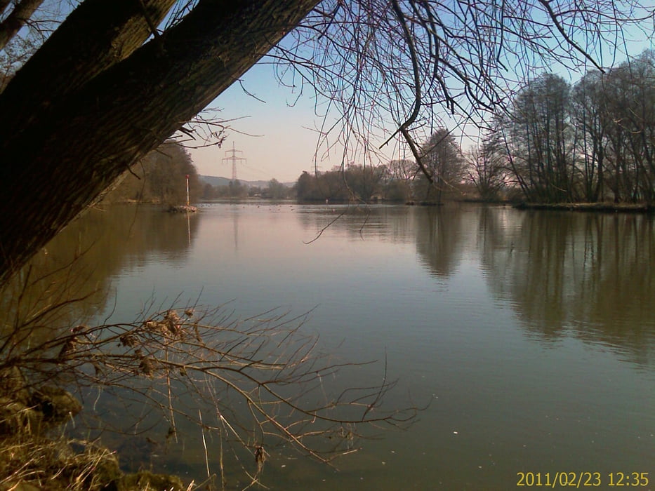
 

Galerie du tour

Carte du tour et altitude

  • Open Street Map
  • Google
Minimum height 224 m Maximum height 263 m Vue de détail

More about the tour author

Astro
Member since 2009

Send private message

Commentaires

Mit dem Auto (A70, Ausfahrt Knetzgau oder Eltmann, dann B26 bis nach 97475 Zeil am Main. Oder mit dem Zug, Zeil liegt ca. in der Mitte von Schweinfurt und Bamberg

Tracks GPS

Trackpoints
  • GPX / Garmin Map Source (gpx) download
  • TCX / Garmin Training Center® (tcx) download
  • CRS / Garmin Training Center® (crs) download
  • Google Earth (kml) download
  • G7ToWin (g7t) download
  • TTQV (trk) download
  • Overlay (ovl) download
  • Fugawi (txt) download
  • Kompass (DAV) Track (tk) download
  • Feuille de tours (pdf) download
  • Original file of the author (gpx) download

More about the tour author

Astro
Member since 2009

Send private message
Share track
Add to my favorites
Remove from my favorites
Edit tags
My score
Rate
Tour: Von Zeil mainaufwärts bis Unterhaid und zurück
Cat.: Vélo de course
Longueur: 40,6 km
Evaluated on:
Durée:
Day(s)
Hour(s)
Minute(s)
Evaluation: Paysage Aspect amusement Condition Technique