Login

Login oublié ?

Cookies have to be accepted!
Your browser's cookie functionality is disabled. Please enable this functionality.

Not a member yet?

Register now
Login

Available for registred users only

Log in to use this feature.

Login oublié ?

Cookies have to be accepted!
Your browser's cookie functionality is disabled. Please enable this functionality.

Not a member yet?

Register now
Filter
Catégories
Advanced filters
  • Longueur (km)
  • Altimètre
Enregistrer le filtre Reset filter

TrackRank

QRCode

Technical data

Longueur29,1 km Altimètre491 m Way down494 m Durée02:00 h:m Date11.04.2011
Evaluations Author Paysage Aspect amusement Condition Technique

Statistiques

270 Vues Evaluations 21 Téléchargements Moyenne
Rate
  • Feuille de tours
  • Arrivée
  • Téléchargements


MTB Trainings-Tour auf die Höhen über Steinbach, zum Main, nach Eltmann und über Sand zurück. Am Ortsende von Zeil, Richtung Krum (Königsberg) rechts ab zum Setzbach-Trimmpfad hoch, rechts halten Richtung Steinbach, im Wald vor, Richtung Kapellenberg, auf der Höhe links halten nach Steinbach, zum Main, nach Eltmann, am Main zurück und um den Hermannsberg und Sand zurück nach Zeil.
Vorwiegend geschotterte Waldwege, Flurbereinigungswege und wenig befahrene Landstraße. Teilweise regionale und überregionale Radwege mit Beschilderung
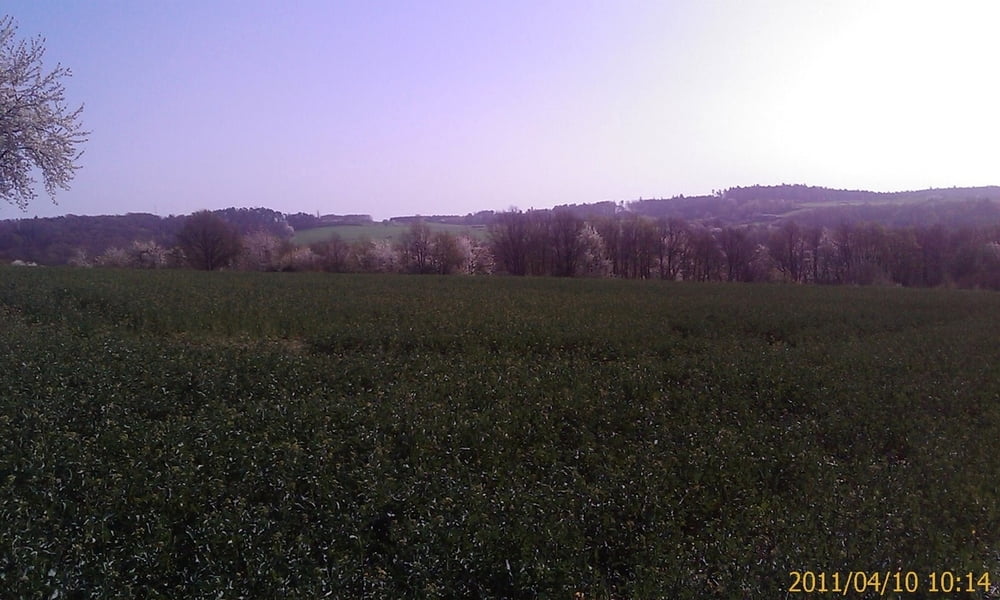
Galerie du tour

Carte du tour et altitude

  • Open Street Map
  • Google
Minimum height 220 m Maximum height 398 m Vue de détail

More about the tour author

Astro
Member since 2009

Send private message

Commentaires


Mit dem Auto (A70, Ausfahrt Knetzgau oder Eltmann, dann B26 bis nach 97475 Zeil am Main. Oder mit dem Zug, Zeil liegt ca. in der Mitte von Schweinfurt und Bamberg

Tracks GPS

Trackpoints
  • GPX / Garmin Map Source (gpx) download
  • TCX / Garmin Training Center® (tcx) download
  • CRS / Garmin Training Center® (crs) download
  • Google Earth (kml) download
  • G7ToWin (g7t) download
  • TTQV (trk) download
  • Overlay (ovl) download
  • Fugawi (txt) download
  • Kompass (DAV) Track (tk) download
  • Feuille de tours (pdf) download
  • Original file of the author (gpx) download

More about the tour author

Astro
Member since 2009

Send private message
Share track
Add to my favorites
Remove from my favorites
Edit tags
My score
Rate
Tour: Von Zeil auf die Höhe über Steinbach, an den Main, nach Eltmann,Sand-Hermannsberg und zurück
Cat.: Mountainbike
Longueur: 29,1 km
Evaluated on:
Durée:
Day(s)
Hour(s)
Minute(s)
Evaluation: Paysage Aspect amusement Condition Technique