Login

Login oublié ?

Cookies have to be accepted!
Your browser's cookie functionality is disabled. Please enable this functionality.

Not a member yet?

Register now
Login

Available for registred users only

Log in to use this feature.

Login oublié ?

Cookies have to be accepted!
Your browser's cookie functionality is disabled. Please enable this functionality.

Not a member yet?

Register now
Filter
Catégories
Advanced filters
  • Longueur (km)
  • Altimètre
Enregistrer le filtre Reset filter

TrackRank

QRCode

Technical data

Longueur10,3 km Altimètre181 m Way down188 m Durée1 day 15 h Date02.04.2012
Evaluations Author Paysage Aspect amusement Condition Technique

Statistiques

236 Vues Evaluations 8 Téléchargements Moyenne
Rate
  • Feuille de tours
  • Arrivée
  • Téléchargements


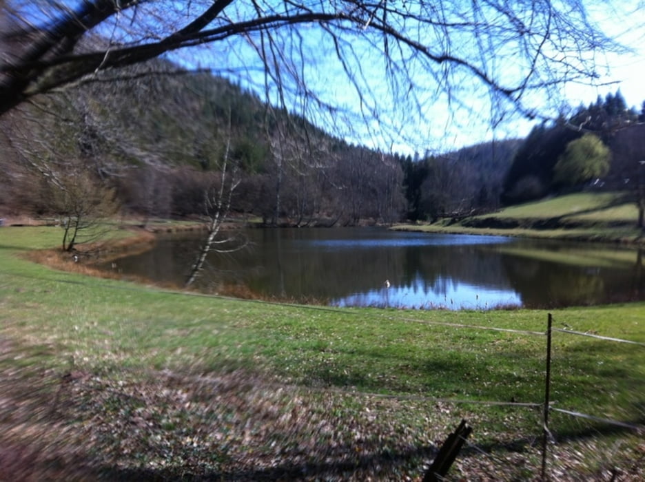
départ  de Bitche sur petit départemental sur 3 kilomètres pouis entrée en forêt direction haspelschiedt
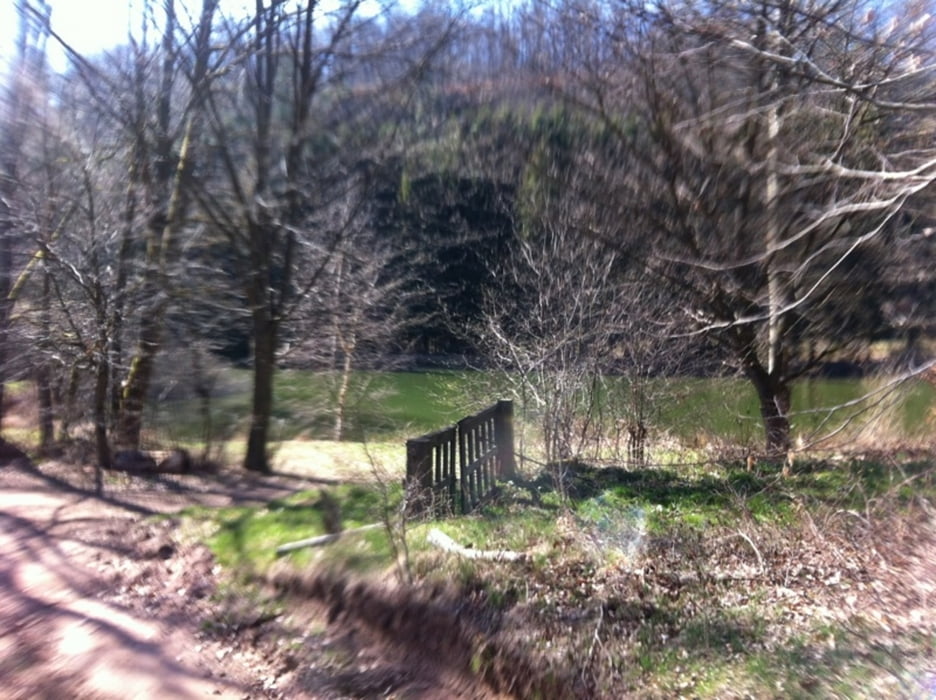
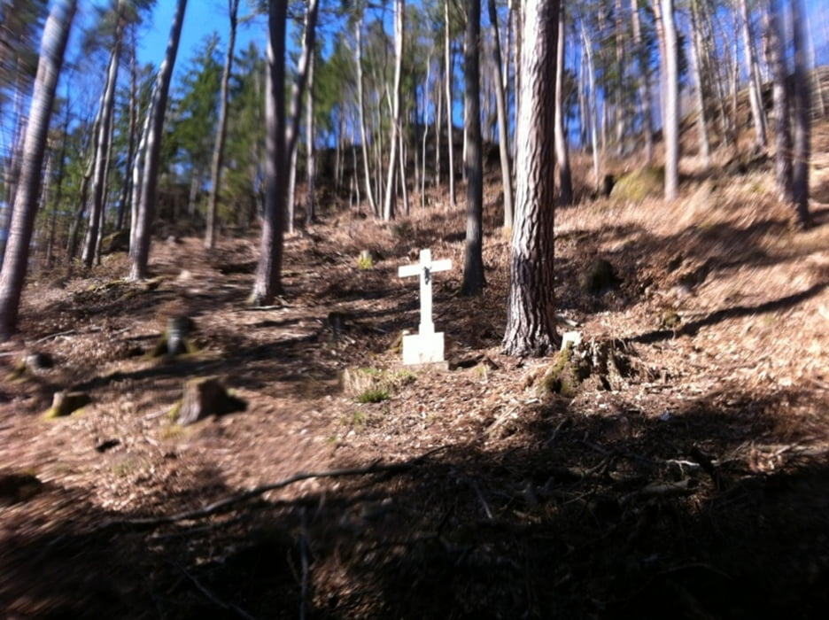
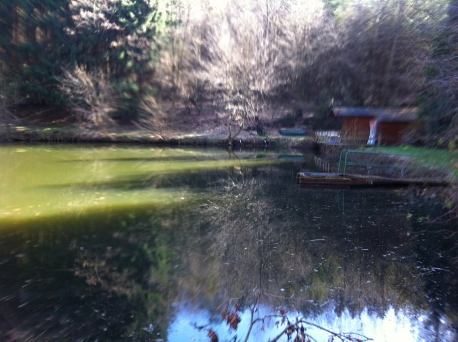

Galerie du tour

Carte du tour et altitude

  • Open Street Map
  • Google
Minimum height 273 m Maximum height 395 m Vue de détail

More about the tour author

thebadboy57
Member since 2012

Send private message

Commentaires

Arrivé sur hapsleschiedt.

Tracks GPS

Trackpoints
  • GPX / Garmin Map Source (gpx) download
  • TCX / Garmin Training Center® (tcx) download
  • CRS / Garmin Training Center® (crs) download
  • Google Earth (kml) download
  • G7ToWin (g7t) download
  • TTQV (trk) download
  • Overlay (ovl) download
  • Fugawi (txt) download
  • Kompass (DAV) Track (tk) download
  • Feuille de tours (pdf) download
  • Original file of the author (gpx) download

More about the tour author

thebadboy57
Member since 2012

Send private message
Share track
Add to my favorites
Remove from my favorites
Edit tags
My score
Rate
Tour: bitche haspelschiedt 1
Cat.: Trekkingbike
Longueur: 10,3 km
Evaluated on:
Durée:
Day(s)
Hour(s)
Minute(s)
Evaluation: Paysage Aspect amusement Condition Technique