


The Tour starts in Thatcham towards the Monkey marsh lock, where you cross the Reading-Bath lock and head on towards RAF Greenham Common. The route takes you past the former Control Tower, before lreading on towards Adbury and Burghclere. Part of that is on low traffic country roads.
The ascend to Watership down is quite steep, but since it is onroad everyone can easily manage. Then the trail follows various singletrails as well as wider tracks.
On the way back, I had a couple of punctures, because on the singletrail near Ashley Warren the hedgeswere cut and I picked up some thorns on the way - so be carefull. From then on the trail follows the same trails and roads we came from.
Overall a nice little Mountainbikeride south of Newbury.
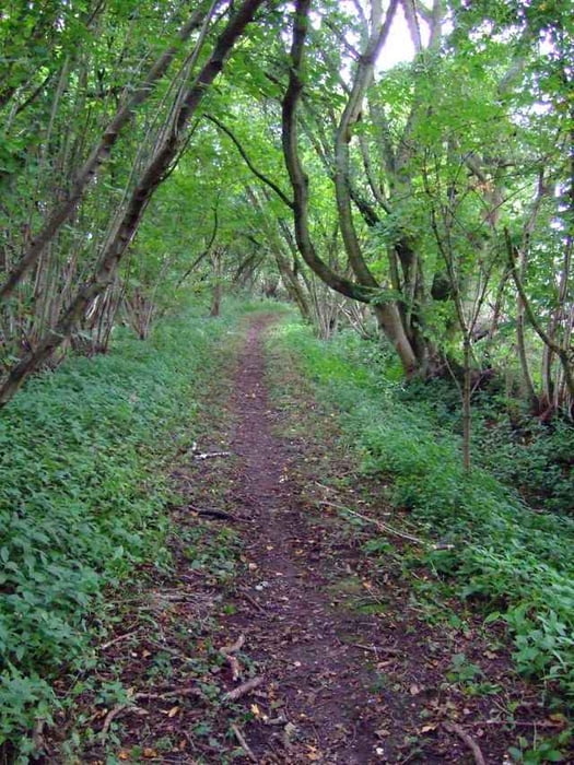
Weitere Informationen unter
http://www.thatchamtowncouncil.gov.uk/main/index.htmlTour Galerie
Tour Karte und Höhenprofil
Minimale Höhe 61 m
Maximale Höhe 230 m
Mehr zum Tourautor

|
Kommentare

Mehr zum Tourautor
|
|
Zu meinen Favoriten hinzufügen
Von meinen Favoriten entfernen
Tags bearbeiten
Tour öffnen
Meine Bewertung
Bewerten