


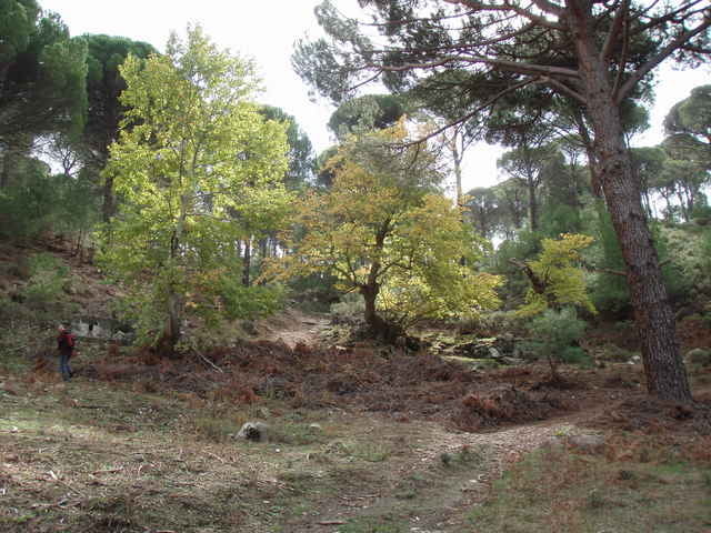
This is a pleasant and versatile hike through the Kozak Mountains located between Ayvalik and Pergamon (Bergama). Starting point is at a spring (monument) located close to a riverbed. The walk is easily accessed by car (paved road, but look out for the pot-holes near the trail head). The hike first follows the riverbed and then goes straight up a small mountain. The short climb is rewarded with impressive views of the pine tree forests covering the Kozak Mountains. The hike continues along the mountain rim and passes through some olive groves. Just after hitting another small mountain road it turns into the valley again. The remaining part of the walk is through forest and along a small river and gives ample opportunity for breaks and (in spring and early summer) refreshment. The hike can be rounded-off with some "Boerek" and "Chay" in the near-by Kozak Cafe in "Demircidere" while enjoying the views over vineyards and mountains.
Tour Galerie
Tour Karte und Höhenprofil
Minimale Höhe 120 m
Maximale Höhe 409 m
Mehr zum Tourautor

|
fgoettsche |
Kommentare

From Ayvalik, take the mountain road via "Yeniköy" in direction Kozak and turn off just before the little village of Demircidere. Alternatively, you can take the same road but in opposite direction from Bergama.
GPS-Tracks
Trackpunkte-
GPX / Garmin Map Source (gpx) download
-
TCX / Garmin Training Center® (tcx) download
-
CRS / Garmin Training Center® (crs) download
-
Google Earth (kml) download
-
G7ToWin (g7t) download
-
TTQV (trk) download
-
Overlay (ovl) download
-
Fugawi (txt) download
-
Kompass (DAV) Track (tk) download
-
Tourenblatt (pdf) download
-
Originaldatei des Autors (g7t) download
Mehr zum Tourautor
|
|
fgoettsche |
Zu meinen Favoriten hinzufügen
Von meinen Favoriten entfernen
Tags bearbeiten
Tour öffnen
Meine Bewertung
Bewerten