Login

Passwort vergessen?

Cookies müssen akzeptiert werden!
Die Cookie-Funktion Ihres Browsers ist deaktiviert. Bitte aktivieren Sie die Funktion.

Noch kein Mitglied?

Jetzt Registrieren
Login

Nur für eingeloggte Benutzer möglich

Melde dich an, um diese Funktion nutzen zu können.

Passwort vergessen?

Cookies müssen akzeptiert werden!
Die Cookie-Funktion Ihres Browsers ist deaktiviert. Bitte aktivieren Sie die Funktion.

Noch kein Mitglied?

Jetzt Registrieren
Filter
Kategorien
Erweiterte Filter
  • Länge (km)
  • Höhenmeter
Filter speichern Filter zurücksetzen

TrackRank

QRCode

Technische Daten

Länge4,9 km Höhenmeter203 m Abstieg193 m Dauer02:00 h:m Datum07.11.2007
Bewertungen Autor Landschaft Spaßfaktor Kondition Technik

Statistik

316 Views Bewertungen 35 Downloads Durchschnitt
Bewerten
  • Tourenblatt
  • Anfahrt
  • Downloads
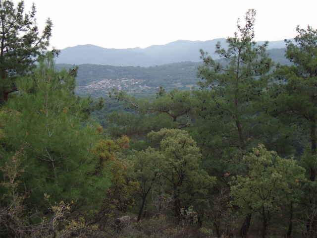
The Kozak Mountains are located between Ayvalik and Bergama; starting point is at a spring (monument) located close to a riverbed. The hike is easily accessed by car (paved road, but look out for the pot-holes near the trail head). For the first half this easy hike follows the river and then climbs a small mountain. The little extra trip to the top is optional, but worth it for the views from the "Rock". The near-by Kozak Cafe in "Demircidere" offers excellent Boerek and Chay and has great views of the vineyards and mountains. More ambitious hikers combine this hike with "Kozak Mountains Walk 04".

Tour Galerie

Tour Karte und Höhenprofil

  • Open Street Map
  • Google
Minimale Höhe 214 m Maximale Höhe 389 m Detailansicht

Mehr zum Tourautor

fgoettsche
Mitglied seit 2007

Land: Deutschland

5 erstellte Touren
7
Private Nachricht senden

Kommentare

From Ayvalik, take the mountain road via "Yeniköy" in direction Kozak and turn off just before the little village of Demircidere. Alternatively, you can take the same road but in opposite direction from Bergama.

GPS-Tracks

Trackpunkte
  • GPX / Garmin Map Source (gpx) download
  • TCX / Garmin Training Center® (tcx) download
  • CRS / Garmin Training Center® (crs) download
  • Google Earth (kml) download
  • G7ToWin (g7t) download
  • TTQV (trk) download
  • Overlay (ovl) download
  • Fugawi (txt) download
  • Kompass (DAV) Track (tk) download
  • Tourenblatt (pdf) download
  • Originaldatei des Autors (g7t) download

Mehr zum Tourautor

fgoettsche
Mitglied seit 2007

Land: Deutschland

5 erstellte Touren
7
Private Nachricht senden
Tour teilen
Zu meinen Favoriten hinzufügen
Von meinen Favoriten entfernen
Tags bearbeiten
Meine Bewertung
Bewerten
Tour: Kozak Mountains Walk 01
Art: Wandern
Länge: 4,9 km
Bewertet am:
Dauer:
Tag(e)
Stunde(n)
Minute(n)
Bewertung: Landschaft Spaßfaktor Kondition Technik