
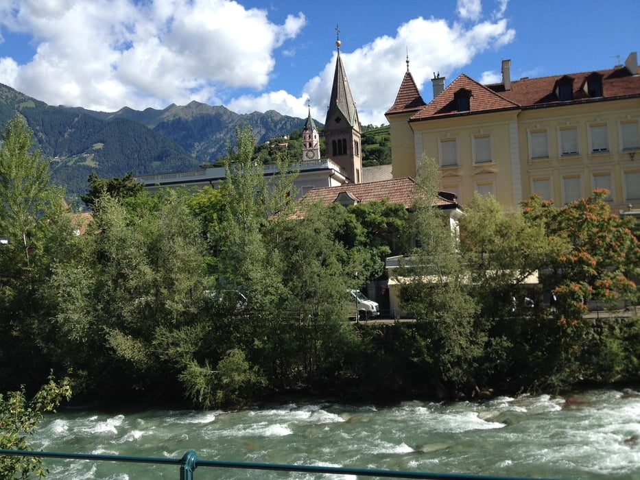

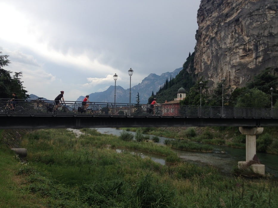
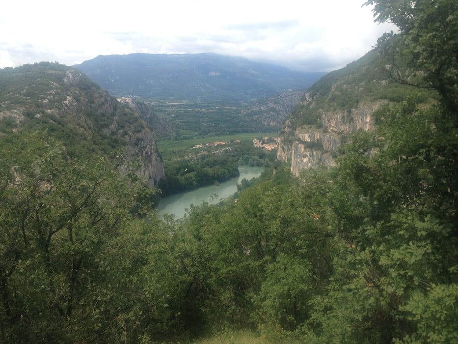
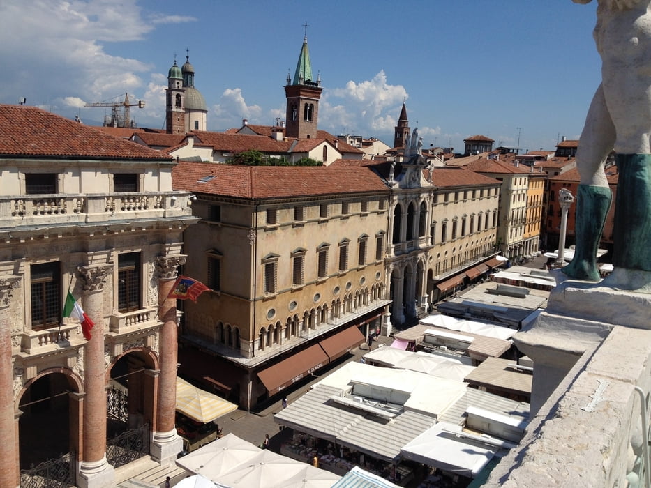
Route for touring bicycles leading from Merano to Vicenza (Northern Italy). The route leads from Merano, over Bolzano to Trento via parts of the Adige Valley cycle path (Pista Ciclabile Valle Dell' Adige / Etschtalratweg), with some deviations from the cycle path in the Adige valley to increase landscape diversity. In Trento, the route leaves the Adige valley via the flank of the Monte Bondone and leads into the splendid valley of the Sarca river, going down to lake Garda, thereby following parts of the Pista Ciclabile Valle Del Sarca. From Riva del Garda the route goes to Verona via the Pista Ciclabile Mori-Torbole and the Pista Ciclabile Valle Del' Adige. From Verona, the route follows small low traffic roads over the hills of the Soave wine region, where after it passes via the Lago de Fimon to finally reach Vicenza.
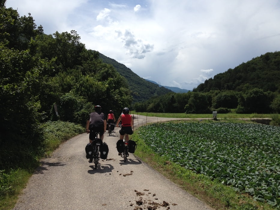
More than 50% of the route consists of dedicated blacktop cycle paths in excellent condition, about 30-40% of low traffic paved roads, and about 10% of gravel roads in good condition for riding a bicycle. The variety of landscapes is astonishing, and the cities of Merano, Bolzano, Trento, Verona, and Vicenza are beautiful and loaded with cultural highlights. Ideal for a cycling holiday of 5 to 10 days, depending on the number and length of stop-overs.
More than 50% of the route consists of dedicated blacktop cycle paths in excellent condition, about 30-40% of low traffic paved roads, and about 10% of gravel roads in good condition for riding a bicycle. The variety of landscapes is astonishing, and the cities of Merano, Bolzano, Trento, Verona, and Vicenza are beautiful and loaded with cultural highlights. Ideal for a cycling holiday of 5 to 10 days, depending on the number and length of stop-overs.
Tour Galerie
Tour Karte und Höhenprofil
Minimale Höhe 21 m
Maximale Höhe 834 m
Mehr zum Tourautor

|
WillemBroekaert |
Kommentare

Mehr zum Tourautor
|
|
WillemBroekaert |
Zu meinen Favoriten hinzufügen
Von meinen Favoriten entfernen
Tags bearbeiten
Tour öffnen
Meine Bewertung
Bewerten