Login

Login vergessen?

Cookies müssen akzeptiert werden!
Die Cookie-Funktion Ihres Browsers ist deaktiviert. Bitte aktivieren Sie die Funktion.

Noch kein Mitglied?

Jetzt Registrieren
Login

Nur für eingeloggte Benutzer möglich

Melde dich an, um diese Funktion nutzen zu können.

Login vergessen?

Cookies müssen akzeptiert werden!
Die Cookie-Funktion Ihres Browsers ist deaktiviert. Bitte aktivieren Sie die Funktion.

Noch kein Mitglied?

Jetzt Registrieren
Filter
Kategorien
Erweiterte Filter
  • Länge (km)
  • Höhenmeter
Filter speichern Filter zurücksetzen

TrackRank

QRCode

Technische Daten

Länge8,3 km Höhenmeter448 m Abstieg510 m Dauer03:00 h:m Datum29.06.2015
Bewertungen Autor Landschaft Spaßfaktor Kondition Technik

Statistik

638 Views Bewertungen 22 Downloads Durchschnitt
Bewerten
  • Tourenblatt
  • Anfahrt
  • Downloads

Fantastic tour along a part of the ancient city wall of Seoul. Great views onto the city its sights and the surroundings.

The trail starts at Waryong park. Be sure you have your passport with you, because you need to register for the section between Malbawi Information Center and Changuimun Gate.

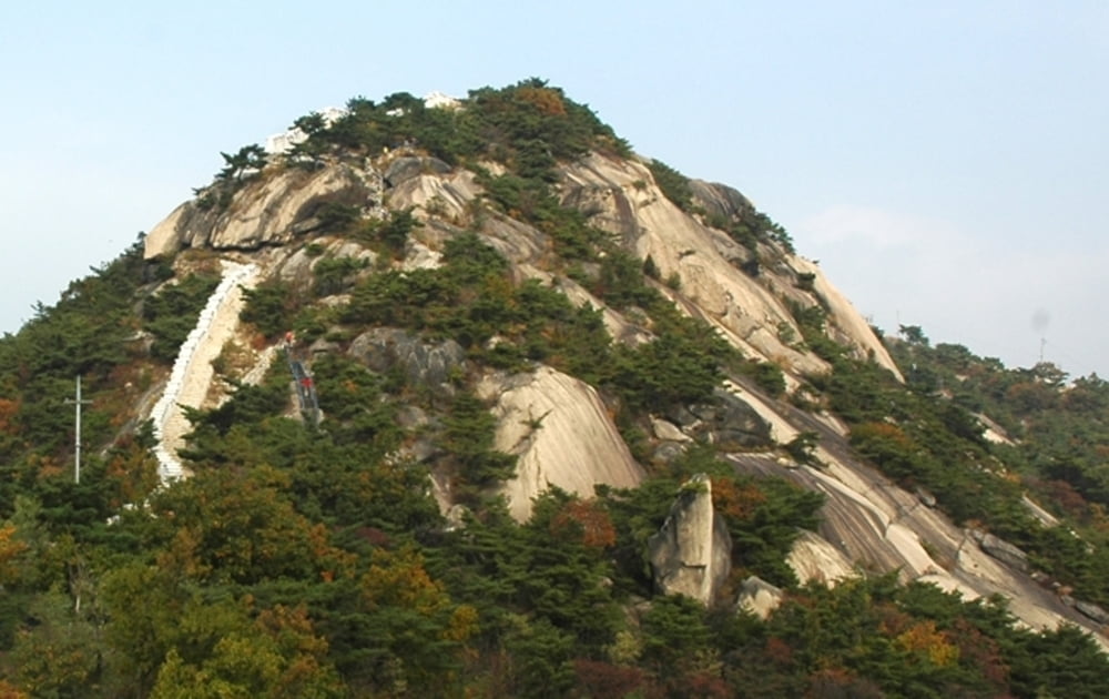
You come along the beautiful heights of Baegak mountain and Inwangsan mountain with fantastic views on the whole city and Gyeongbokgung Palace, Blue House, Namsan Tower and many other sights.

For more information go to: seoulcitywall.seoul.go.kr/front/eng/index.do


Weitere Informationen unter

https://en.wikipedia.org/wiki/Seoul

Tour Galerie

Tour Karte und Höhenprofil

  • Open Street Map
  • Google
Minimale Höhe 97 m Maximale Höhe 387 m Detailansicht

Mehr zum Tourautor

grenz-pfad-fahrer
Mitglied seit 2009

Land: Deutschland

159 erstellte Touren
8.4
Private Nachricht senden

Kommentare

Take subway number 3 to Anguk station, then take bus number 2 to the final stop, where the track starts.

The track ends at Dongnimmun station; line number 3.


GPS-Tracks

Trackpunkte
  • GPX / Garmin Map Source (gpx) download
  • TCX / Garmin Training Center® (tcx) download
  • CRS / Garmin Training Center® (crs) download
  • Google Earth (kml) download
  • G7ToWin (g7t) download
  • TTQV (trk) download
  • Overlay (ovl) download
  • Fugawi (txt) download
  • Kompass (DAV) Track (tk) download
  • Tourenblatt (pdf) download
  • Originaldatei des Autors (gpx) download

Mehr zum Tourautor

grenz-pfad-fahrer
Mitglied seit 2009

Land: Deutschland

159 erstellte Touren
8.4
Private Nachricht senden
Tour teilen
Zu meinen Favoriten hinzufügen
Von meinen Favoriten entfernen
Tags bearbeiten
Meine Bewertung
Bewerten
Tour: Seoul City Wall - Baegak and Inwangsan mountain
Art: Wandern
Länge: 8,3 km
Bewertet am:
Dauer:
Tag(e)
Stunde(n)
Minute(n)
Bewertung: Landschaft Spaßfaktor Kondition Technik