Login

Login vergessen?

Cookies müssen akzeptiert werden!
Die Cookie-Funktion Ihres Browsers ist deaktiviert. Bitte aktivieren Sie die Funktion.

Noch kein Mitglied?

Jetzt Registrieren
Login

Nur für eingeloggte Benutzer möglich

Melde dich an, um diese Funktion nutzen zu können.

Login vergessen?

Cookies müssen akzeptiert werden!
Die Cookie-Funktion Ihres Browsers ist deaktiviert. Bitte aktivieren Sie die Funktion.

Noch kein Mitglied?

Jetzt Registrieren
Filter
Kategorien
Erweiterte Filter
  • Länge (km)
  • Höhenmeter
Filter speichern Filter zurücksetzen

TrackRank

QRCode

Technische Daten

Länge304,1 km Höhenmeter3283 m Abstieg3286 m Dauer3 Tage 0 h Datum10.09.2017
Bewertungen Autor Landschaft Spaßfaktor Kondition Technik

Statistik

616 Views Bewertungen 22 Downloads Durchschnitt
Bewerten
  • Tourenblatt
  • Anfahrt
  • Downloads

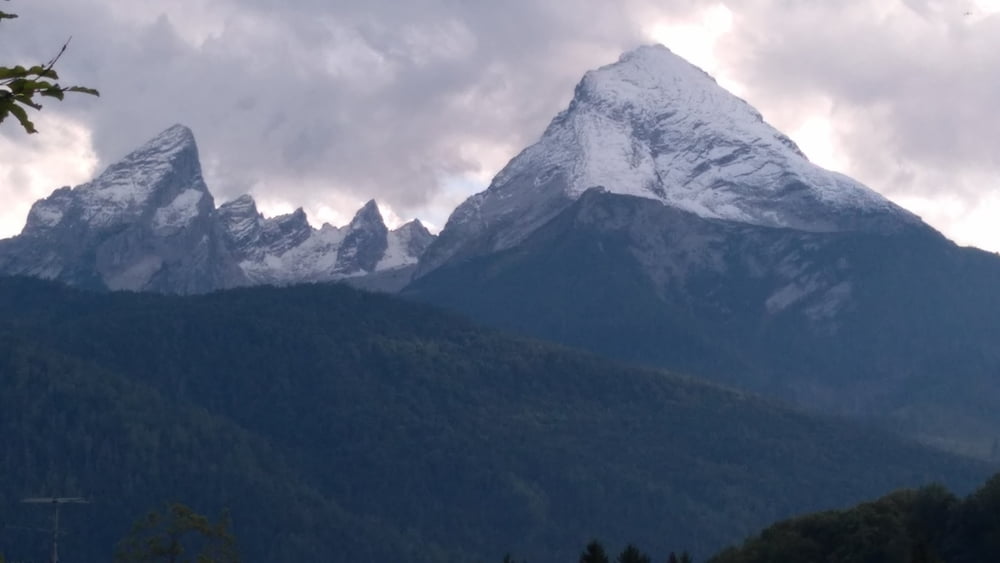
Bike and Hite from Münche-Ost to Schönau / Wimbachbrücke (starting point to Watzmannn).

Both 2000 m up and down.

Our way to Watzmann was a good balance between less traffic on country roads (80% asphalt and 20 % other) in order to do the bike tour on one day (to), second day to hike to mountain Watzmann and to return by bike on third day. Day one and day three are identical and were recorded.

If we would repeat the tour, we would look for an alternative route between Asling and Rott am Inn. The way distance between these villages is about 10 km.

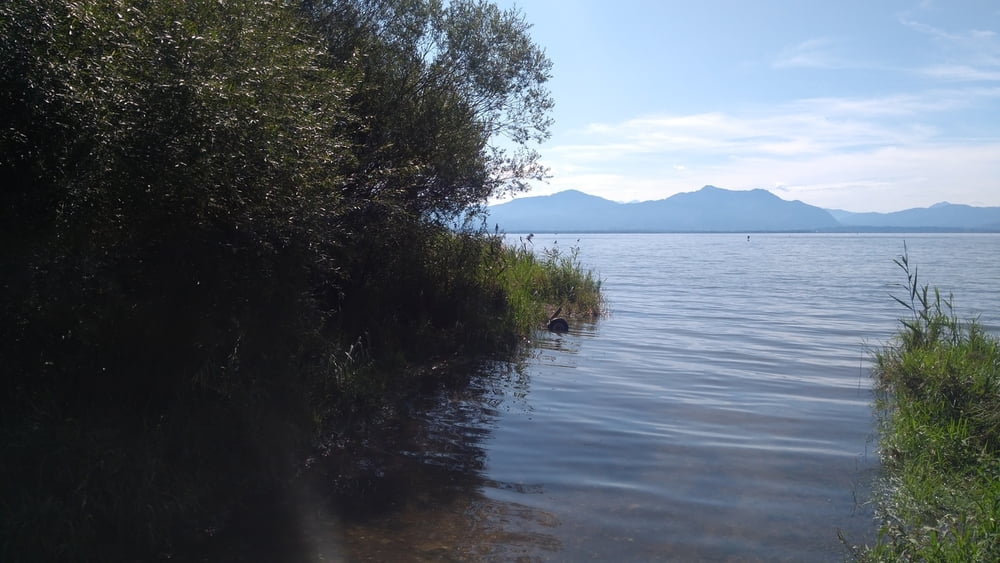
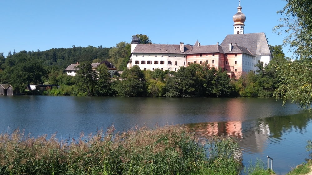
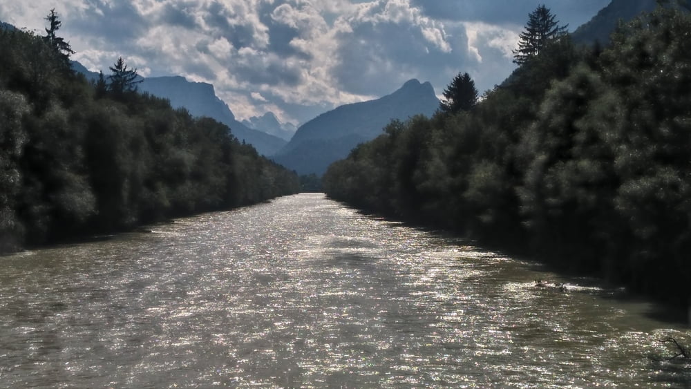
Other than these 10 km, you will see the beauty ouf this country (flowers, country houses, lake Chiemsee, crossing many bridges / rivers).

Congratulations to my friend Thomas who spend many days to find this route.


Tour Galerie

Tour Karte und Höhenprofil

  • Open Street Map
  • Google
Minimale Höhe 428 m Maximale Höhe 702 m Detailansicht

Mehr zum Tourautor

fammair
Mitglied seit 2008

Land: Deutschland

6 erstellte Touren
5.2
Private Nachricht senden

Kommentare

GPS-Tracks

Trackpunkte
  • GPX / Garmin Map Source (gpx) download
  • TCX / Garmin Training Center® (tcx) download
  • CRS / Garmin Training Center® (crs) download
  • Google Earth (kml) download
  • G7ToWin (g7t) download
  • TTQV (trk) download
  • Overlay (ovl) download
  • Fugawi (txt) download
  • Kompass (DAV) Track (tk) download
  • Tourenblatt (pdf) download
  • Originaldatei des Autors (gpx) download

Mehr zum Tourautor

fammair
Mitglied seit 2008

Land: Deutschland

6 erstellte Touren
5.2
Private Nachricht senden
Tour teilen
Zu meinen Favoriten hinzufügen
Von meinen Favoriten entfernen
Tags bearbeiten
Meine Bewertung
Bewerten
Tour: Bike and hike to Watzmann
Art: Transalp
Länge: 304,1 km
Bewertet am:
Dauer:
Tag(e)
Stunde(n)
Minute(n)
Bewertung: Landschaft Spaßfaktor Kondition Technik