Login

Login vergessen?

Cookies müssen akzeptiert werden!
Die Cookie-Funktion Ihres Browsers ist deaktiviert. Bitte aktivieren Sie die Funktion.

Noch kein Mitglied?

Jetzt Registrieren
Login

Nur für eingeloggte Benutzer möglich

Melde dich an, um diese Funktion nutzen zu können.

Login vergessen?

Cookies müssen akzeptiert werden!
Die Cookie-Funktion Ihres Browsers ist deaktiviert. Bitte aktivieren Sie die Funktion.

Noch kein Mitglied?

Jetzt Registrieren
Filter
Kategorien
Erweiterte Filter
  • Länge (km)
  • Höhenmeter
Filter speichern Filter zurücksetzen

TrackRank

QRCode

Technische Daten

Länge13,3 km Höhenmeter330 m Abstieg331 m Dauer04:00 h:m Datum05.02.2006
Bewertungen Autor Landschaft Spaßfaktor Kondition Technik

Statistik

666 Views Bewertungen 81 Downloads Durchschnitt
Bewerten
  • Tourenblatt
  • Anfahrt
  • Downloads
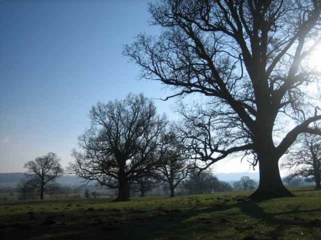
The Wenlock Edge is an escarpment running east of the Long Mynd, which is south of Shrewsbury. The area around is open farmland with some wooded areas. The walk goes through the small villages of Aston Munslow and Diddlebury.

I did this walk after a drive from London, starting at about 11am, and finishing by 3pm. I then stayed at the Bridges Youth Hostel which is located in Ratlinghope west of Church Stretton, which is the best place to buy food in the area.

Weitere Informationen unter

http://www.walkingbritain.co.uk/walks/walksa/wa022.shtml

Tour Galerie

Tour Karte und Höhenprofil

  • Open Street Map
  • Google
Minimale Höhe 105 m Maximale Höhe 277 m Detailansicht

Mehr zum Tourautor

zangezur
Mitglied seit 2004

Land: Japan

14 erstellte Touren
8.2
Private Nachricht senden

Kommentare

The start of the walk is at a small carpark located about 2km east of Westhope. From there you had towards Westhope but make a sharp left at the first junction. The trail then heads over a line of hills south descending into a small valley and down into Corfton. Changing direction you head north-west to Diddlebury and its church (where we ate our packed lunch) and on to Aston Munslow. From there you climb north west and on to the car park.

GPS-Tracks

Trackpunkte
  • GPX / Garmin Map Source (gpx) download
  • TCX / Garmin Training Center® (tcx) download
  • CRS / Garmin Training Center® (crs) download
  • Google Earth (kml) download
  • G7ToWin (g7t) download
  • TTQV (trk) download
  • Overlay (ovl) download
  • Fugawi (txt) download
  • Kompass (DAV) Track (tk) download
  • Tourenblatt (pdf) download
  • Originaldatei des Autors (gpx) download

Mehr zum Tourautor

zangezur
Mitglied seit 2004

Land: Japan

14 erstellte Touren
8.2
Private Nachricht senden
Tour teilen
Zu meinen Favoriten hinzufügen
Von meinen Favoriten entfernen
Tags bearbeiten
Meine Bewertung
Bewerten
Tour: Wenlock Edge
Art: Wandern
Länge: 13,3 km
Bewertet am:
Dauer:
Tag(e)
Stunde(n)
Minute(n)
Bewertung: Landschaft Spaßfaktor Kondition Technik