Login

Login vergessen?

Cookies müssen akzeptiert werden!
Die Cookie-Funktion Ihres Browsers ist deaktiviert. Bitte aktivieren Sie die Funktion.

Noch kein Mitglied?

Jetzt Registrieren
Login

Nur für eingeloggte Benutzer möglich

Melde dich an, um diese Funktion nutzen zu können.

Login vergessen?

Cookies müssen akzeptiert werden!
Die Cookie-Funktion Ihres Browsers ist deaktiviert. Bitte aktivieren Sie die Funktion.

Noch kein Mitglied?

Jetzt Registrieren
Filter
Kategorien
Erweiterte Filter
  • Länge (km)
  • Höhenmeter
Filter speichern Filter zurücksetzen

TrackRank

QRCode

Technische Daten

Länge5,0 km Höhenmeter625 m Abstieg9 m Dauer03:30 h:m Datum12.07.2009
Bewertungen Autor Landschaft Spaßfaktor Kondition Technik

Statistik

619 Views Bewertungen 117 Downloads Durchschnitt
Bewerten
  • Tourenblatt
  • Anfahrt
  • Downloads

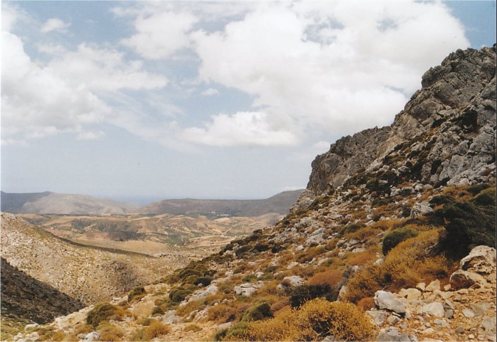
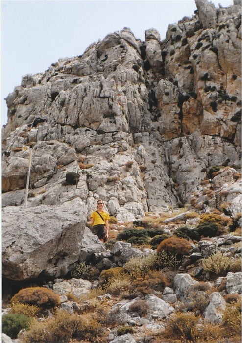
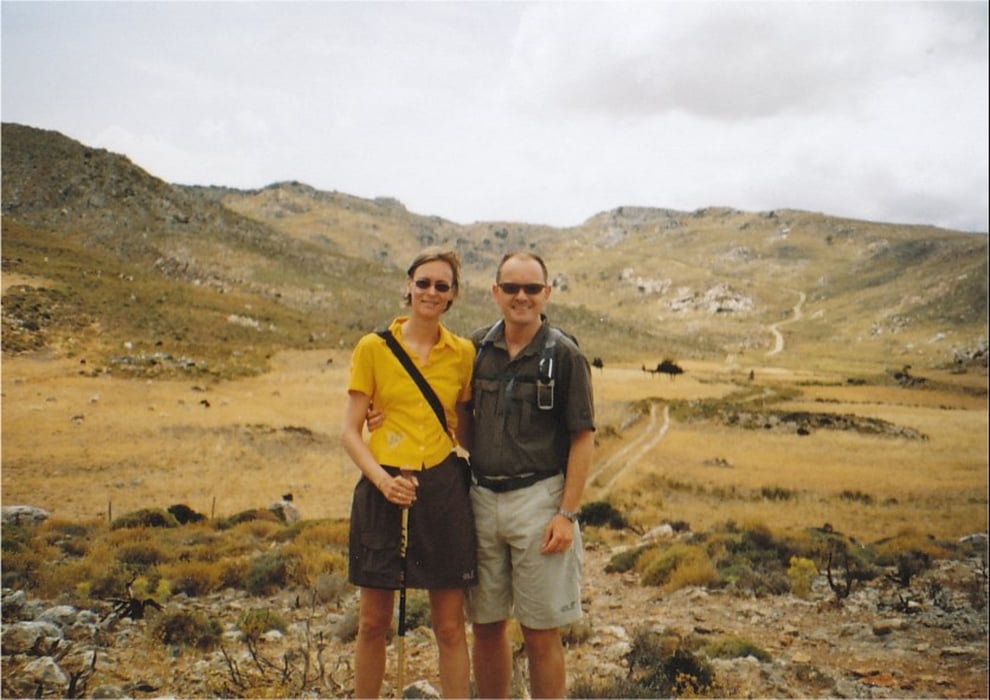
This is a hiking-track in the area of Zakros (Eastern End of Crete).

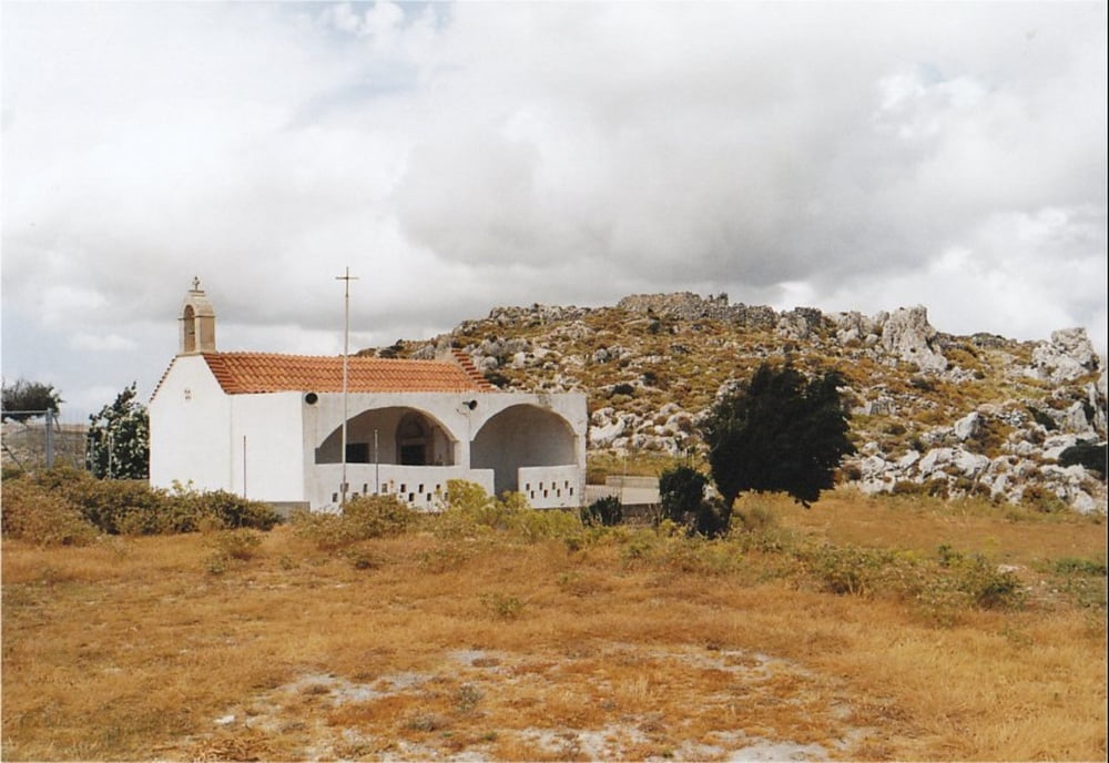
It is a nice trip along the E4 European hiking route, going up from the town of Zakros to the chapel of Ag. Gheorgios at Skalia. On the way, you can make a small detour and visit the source of Zakros river with its clear water.

You can take the same track for both ways (the provided GPX-file only covers one way), or go on from Skalia following the E4 to the town of Ziros (approx. an additional 2 hours). However, you will need to organise transport from Ziros back to Zakros.

The walk is very well waymarked with E4 signs and it is fairly easy to walk.

Take a good amount of water with you, because there is virtually no shadow on the way.

Tour Galerie

Tour Karte und Höhenprofil

  • Open Street Map
  • Google
Minimale Höhe 15 m Maximale Höhe 639 m Detailansicht

Mehr zum Tourautor

Kretakulk
Mitglied seit 2009

Land: Deutschland

27 erstellte Touren
8.8
Private Nachricht senden

Kommentare

The track starts at the southern end of the town of Zakros where the roads begin towards Kato Zakros and Xerokampo.

GPS-Tracks

Trackpunkte
  • GPX / Garmin Map Source (gpx) download
  • TCX / Garmin Training Center® (tcx) download
  • CRS / Garmin Training Center® (crs) download
  • Google Earth (kml) download
  • G7ToWin (g7t) download
  • TTQV (trk) download
  • Overlay (ovl) download
  • Fugawi (txt) download
  • Kompass (DAV) Track (tk) download
  • Tourenblatt (pdf) download
  • Originaldatei des Autors (gpx) download

Mehr zum Tourautor

Kretakulk
Mitglied seit 2009

Land: Deutschland

27 erstellte Touren
8.8
Private Nachricht senden
Tour teilen
Zu meinen Favoriten hinzufügen
Von meinen Favoriten entfernen
Tags bearbeiten
Meine Bewertung
Bewerten
Tour: Zakros to Skalia (E4)
Art: Wandern
Länge: 5,0 km
Bewertet am:
Dauer:
Tag(e)
Stunde(n)
Minute(n)
Bewertung: Landschaft Spaßfaktor Kondition Technik