
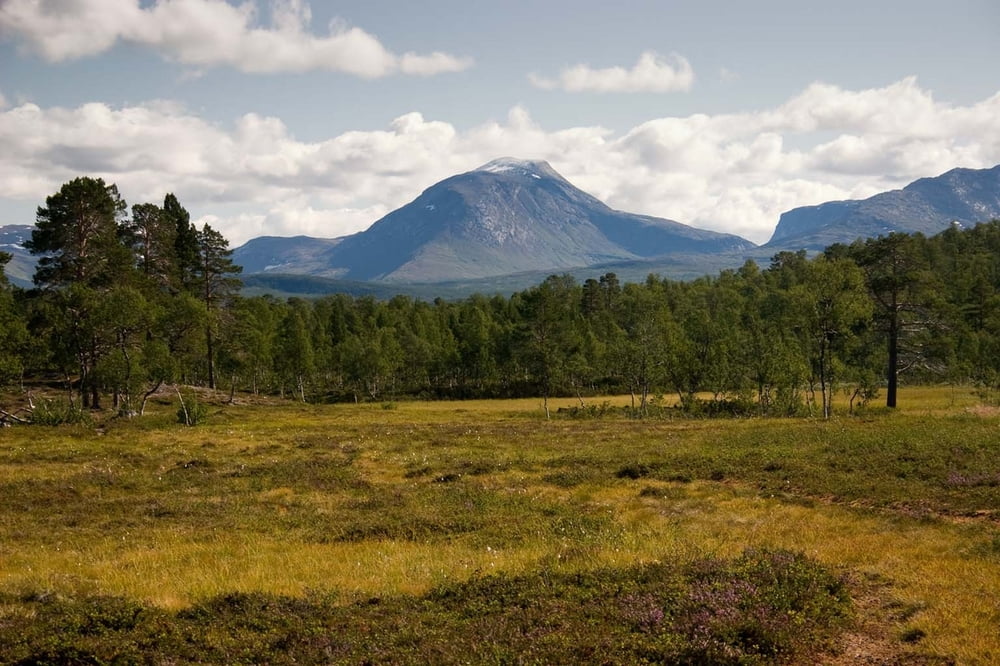

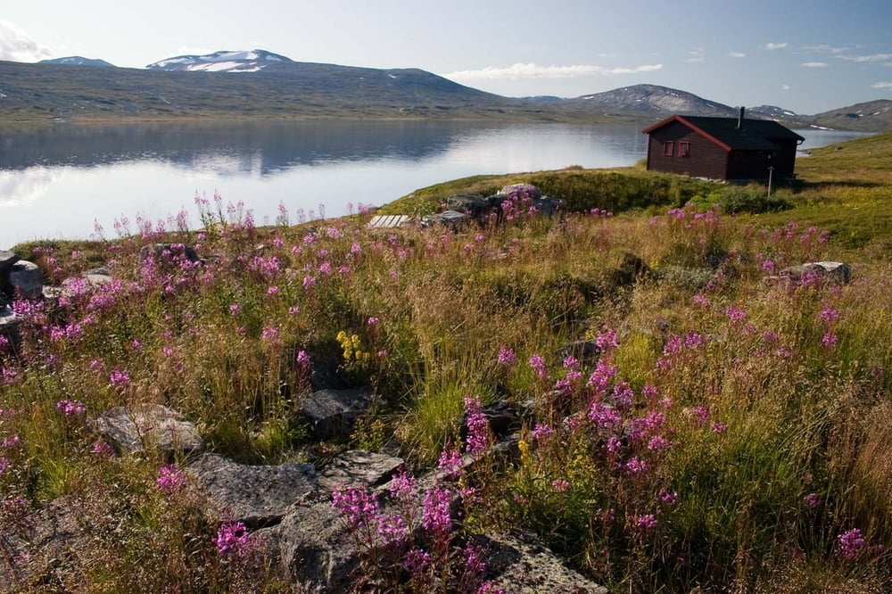
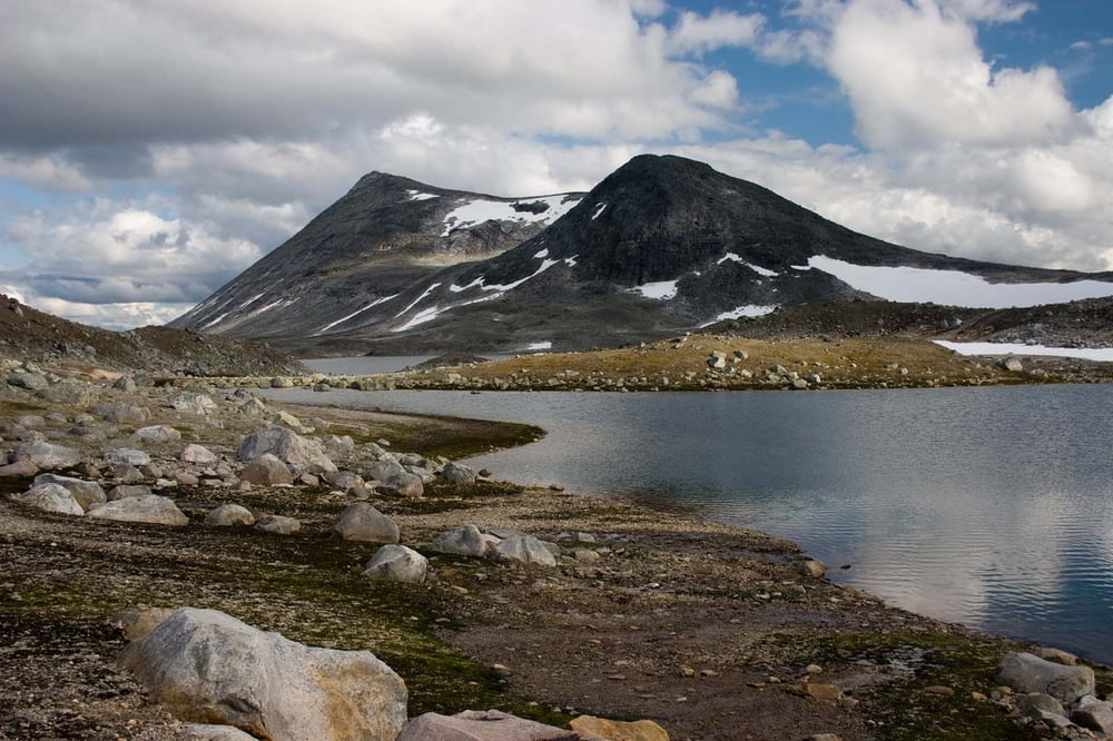
In first week of our stay in Norway we have visited two national parks: NP Savrtisen and NP Junkerdal. It is amazing area with just a few people there. We walked on touristic marked paths. There are many huts spread out over NP. These huts belongs to Norway's touristic organization and many of them are closed, so if you want to sleep there you must lend a key. Every hut is well equipped by chopped wood for heating and with gas bottle and cooker for preparing food. There are a lot of dishes and all you need for cooking. There are of course some beds, its number depends on size of the hut. Typical hut is intended for 3-5 people.
We have approximately half of time good partly cloudy weather with temperatures between 15-20 degrees during day and little bit lower in the night. Second half of our time weather was rather cloudy with rain with temperatures little bit above freeze level.
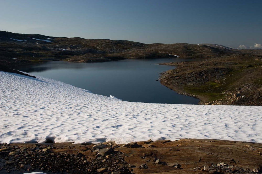
There are many lakes, streams and rivers in these areas, so it is no needed to carry much water.
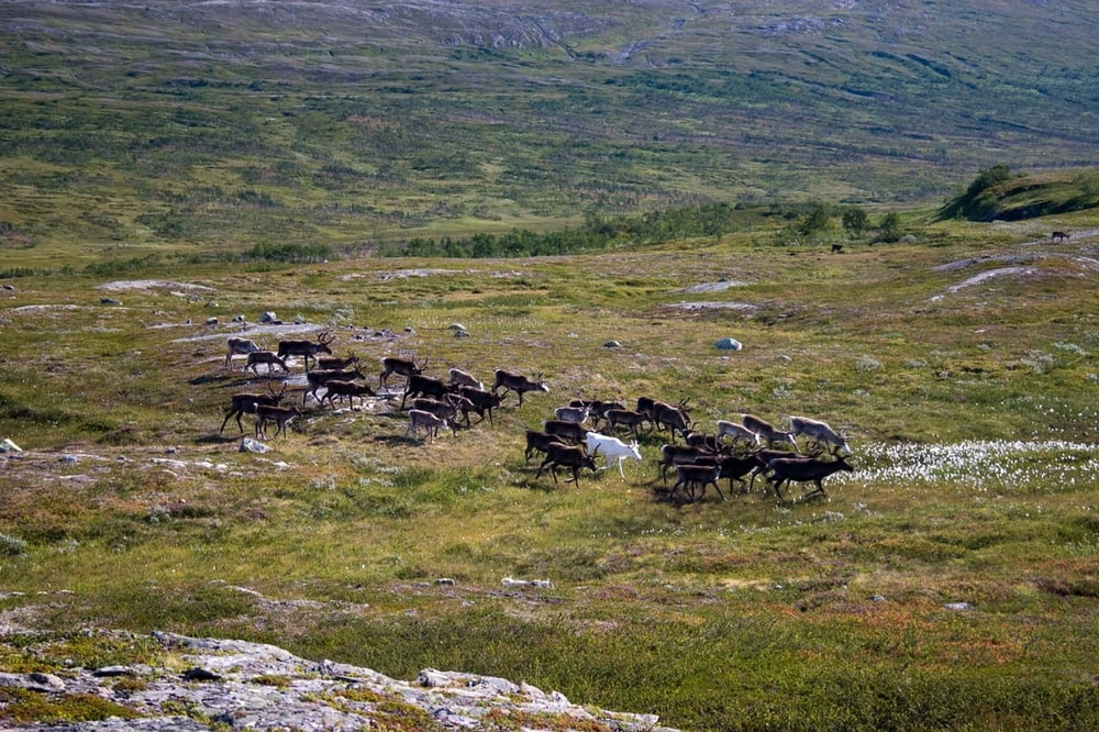
A lot of reindeers are living around here and if you have fortune you will see some different species of wild animals.
You can camping there in a tent without any problems. By Norway's laws you are permitted to set up a tent everywhere in the country further than 150 meters from dwelling.
Weitere Informationen unter
http://www.ms.mff.cuni.cz/~jhum8111/hory/norsko_2009/norsko_2009.htmlTour Galerie
Tour Karte und Höhenprofil
Minimale Höhe 167 m
Maximale Höhe 1107 m
Mehr zum Tourautor

|
jhum8111 |
Kommentare

We started our trip in the Rokland village and then we continued to ascent to the Over-oksvatnet lake. From there we continued to the Bjellavastua hut. The next day we passed a saddle not far away from the Lonstindvatnet lake and we started to descend to the Lonsdal around the Kjemavatnet lake.
During second part of our trip in the Nordland we went to the Junkerdal fjellsenter. From there we continued to the Trygvebu hut. Then we continued upstream to the Argaladhytta. Then we continued through the valley which led to the Balvatnet lake. Then we went a few kilometers around the lake till path split up and we continued ascend to the saddle Storengskaret. After two hours we was staying near the bridge over the stream in the valley. We continued to the Leipibakken and then we turned to right to the Rykkjedalen valley. At the end of the Rykkjedalen valley we found shortcut to the store Sauvatnet lake. Last day we went around the Solvagvatnet lake and we descend steeply to the Solvagli hut. Finally we passed through the Jukerdalsurda canyon and when we met E6 road, we went on it back to the Lonsdal.
GPS-Tracks
Trackpunkte-
GPX / Garmin Map Source (gpx) download
-
TCX / Garmin Training Center® (tcx) download
-
CRS / Garmin Training Center® (crs) download
-
Google Earth (kml) download
-
G7ToWin (g7t) download
-
TTQV (trk) download
-
Overlay (ovl) download
-
Fugawi (txt) download
-
Kompass (DAV) Track (tk) download
-
Tourenblatt (pdf) download
-
Originaldatei des Autors (gpx) download
Mehr zum Tourautor
|
|
jhum8111 |
Zu meinen Favoriten hinzufügen
Von meinen Favoriten entfernen
Tags bearbeiten
Tour öffnen
Meine Bewertung
Bewerten