


Date: July 26, 2010
Start: 1674 m (mountain station of Dachstein Südwandbahn / Gletscherbahn)
Finish: 1674 m (mountain station of Dachstein Südwandbahn / Gletscherbahn)
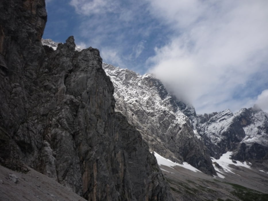
Highest point: 2033 m (Tor)
Lowest point: 1380 m
Total ascent: 900 m
Total descent: 900 m
Information about the Dachstein Südwandbahn:
http://www.derdachstein.at
GPX file is modified, because GPS reception between Südwandhütte and Tor was extremely bad.
**************************
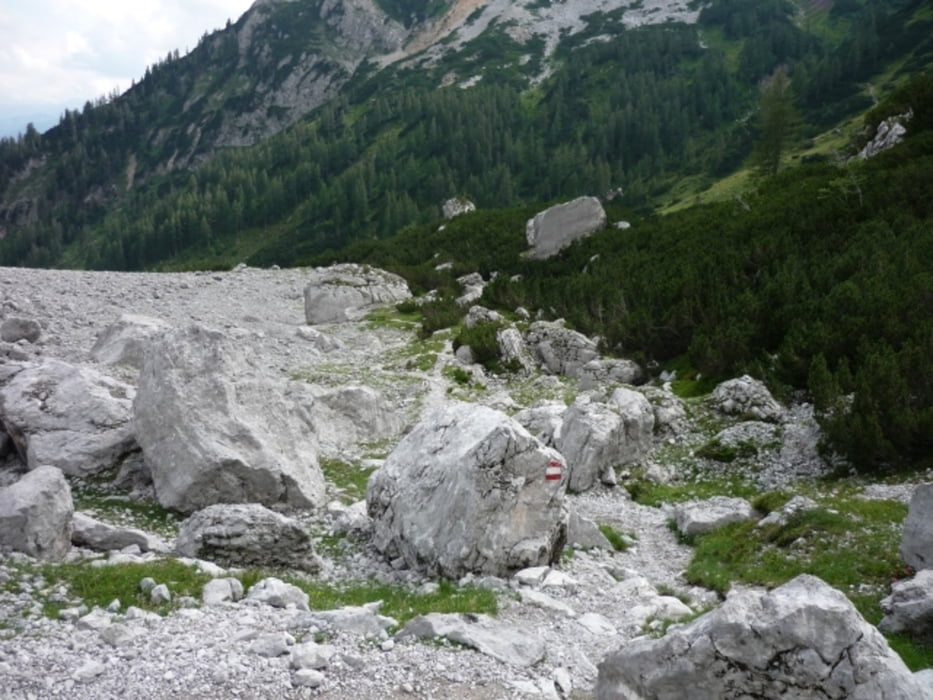
Do not take anything, do not leave anything!
**************************
Please, do NOT leave trash behind. Paper tissues are also trash! Chocolate wrap as well. Bring a small trash bag with you and take your trash with yourself to the next trash can. It is not that heavy.
**************************
Weitere Informationen unter
http://www.beepee.hu/v/ausztria2010/dachstein/tor/Tour Galerie

Tour Karte und Höhenprofil
Minimale Höhe 1379 m
Maximale Höhe 2029 m
Mehr zum Tourautor
|
|
beepee |
Kommentare

Mehr zum Tourautor
|
|
beepee |
Zu meinen Favoriten hinzufügen
Von meinen Favoriten entfernen
Tags bearbeiten
Tour öffnen
Meine Bewertung
Bewerten