Login

Login vergessen?

Cookies müssen akzeptiert werden!
Die Cookie-Funktion Ihres Browsers ist deaktiviert. Bitte aktivieren Sie die Funktion.

Noch kein Mitglied?

Jetzt Registrieren
Login

Nur für eingeloggte Benutzer möglich

Melde dich an, um diese Funktion nutzen zu können.

Login vergessen?

Cookies müssen akzeptiert werden!
Die Cookie-Funktion Ihres Browsers ist deaktiviert. Bitte aktivieren Sie die Funktion.

Noch kein Mitglied?

Jetzt Registrieren
Filter
Kategorien
Erweiterte Filter
  • Länge (km)
  • Höhenmeter
Filter speichern Filter zurücksetzen

TrackRank

QRCode

Technische Daten

Länge7,6 km Höhenmeter250 m Abstieg250 m Dauer03:32 h:m Datum28.08.2010
Bewertungen Autor Landschaft Spaßfaktor Kondition Technik

Statistik

1082 Views Bewertungen 98 Downloads Durchschnitt
Bewerten
  • Tourenblatt
  • Anfahrt
  • Downloads

Date: August 2, 2010

Start: 2350 m (Kaiser Franz Josefs Höhe)
Finish: 2350 m (Kaiser Franz Josefs Höhe)

Highest point: 2591 m (shortly after the end of Gamsgrubenweg)
Lowest point: 2350 m (Kaiser Franz Josefs Höhe)

Total ascent: 241 m
Total descent: 241 m

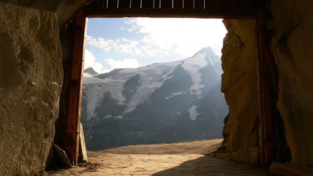
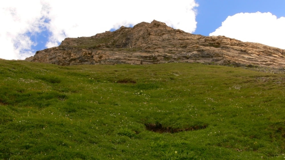
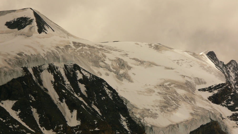
Beautiful views of Grossglockner, Pasterze glacier and the surrounding mountains!!

Weitere Informationen unter

http://www.beepee.hu/v/ausztria2010/heiligenblut/pasterze/

Tour Galerie

Tour Karte und Höhenprofil

  • Open Street Map
  • Google
Minimale Höhe 2342 m Maximale Höhe 2595 m Detailansicht

Mehr zum Tourautor

beepee
Mitglied seit 2009

Land: Ungarn

33 erstellte Touren
8.7
Private Nachricht senden

Kommentare

Places where you can eat and drink:
Kaiser Franz Josefs Höhe

Route:
1. at Kaiser Franz Josefs Höhe - go to the very far end of the structure
2. walk into the tunnel marked as 'Gamsgrubenweg'
3. walk throught 6 tunnels (built because of the high risk of falling rock)
4. walk on the trail until the end of Gamsgrubenweg - there is a rest area and a beutiful creek-waterfall
5. you can continue walking up towards Oberwalderhütte and the glacier next to it, however the trail becomes steeper here, and if you want to reach the Hut, you must walk on the glacier as well.
Take the same route back.

We turned back around halfway between end of Gamsgrubenweeg and the glacier.

Do not leave the marked trail, and please, do not pick the flowers!!!

GPS-Tracks

Trackpunkte
  • GPX / Garmin Map Source (gpx) download
  • TCX / Garmin Training Center® (tcx) download
  • CRS / Garmin Training Center® (crs) download
  • Google Earth (kml) download
  • G7ToWin (g7t) download
  • TTQV (trk) download
  • Overlay (ovl) download
  • Fugawi (txt) download
  • Kompass (DAV) Track (tk) download
  • Tourenblatt (pdf) download
  • Originaldatei des Autors (gpx) download

Mehr zum Tourautor

beepee
Mitglied seit 2009

Land: Ungarn

33 erstellte Touren
8.7
Private Nachricht senden
Tour teilen
Zu meinen Favoriten hinzufügen
Von meinen Favoriten entfernen
Tags bearbeiten
Meine Bewertung
Bewerten
Tour: Gamsgrubenweg
Art: Wandern
Länge: 7,6 km
Bewertet am:
Dauer:
Tag(e)
Stunde(n)
Minute(n)
Bewertung: Landschaft Spaßfaktor Kondition Technik